
How to Distinguish
- The country-code domain is .fr
- Phone numbers appear as five pairs of digits
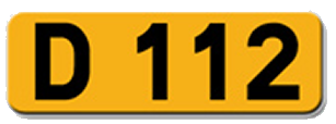
- Rural road plates are yellow and begin with the letter "D" such as "D653"
- You frequently see French characters like "â, î, û, ê, ô" and "é"
- Utility poles sometimes carry a blue plate(from 『Geoguessr Tips: Guide to European Utility Poles』)
- If a street sign says "Rue", you are almost certainly in a French-speaking area
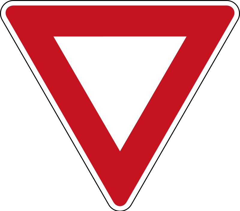
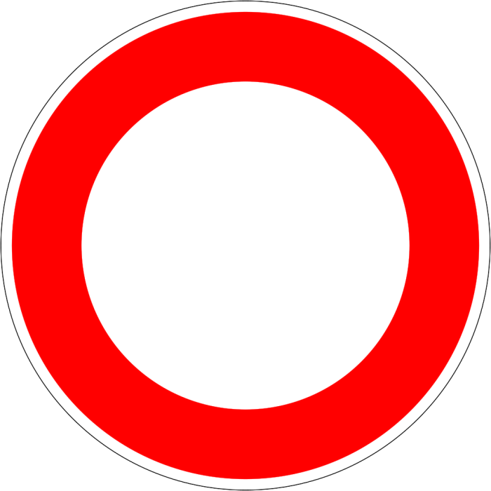
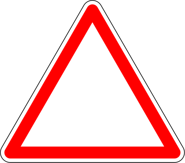
Signs you can find


Representative Companies ▾ 詳細


French bollards are usually thick white cylindrical posts with red reflectors. Some varieties have different cap or reflector colors, and there are also eraser-shaped ones.
The same bollard can occasionally be seen on specific roads in Greece.

Phone numbers follow a format of five pairs of two-digit numbers. They are usually separated by spaces or dots. The first two digits indicate the region — Paris is 01. The second pair of digits can be used to narrow down the area further.

If a pole or pillar has a blue plate attached, there is a 99% chance you are somewhere in French territoryLeft pole photo credit. There are rare exceptions, but betting against the odds is very risky.

Yellow road shields that start with “D” are scattered across France. However, spotting them on the map can be quite difficult.

License plates generally follow the EU standard with a blue strip on the left only. However, some have blue strips on both sides, and occasionally you can find fully yellow plates.

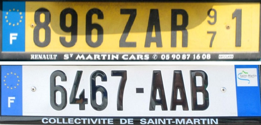
By Roger from Sarasota, Florida, U.S.A. - Marigot - St. Martin License Plates, CC BY-SA 2.0, Link
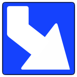
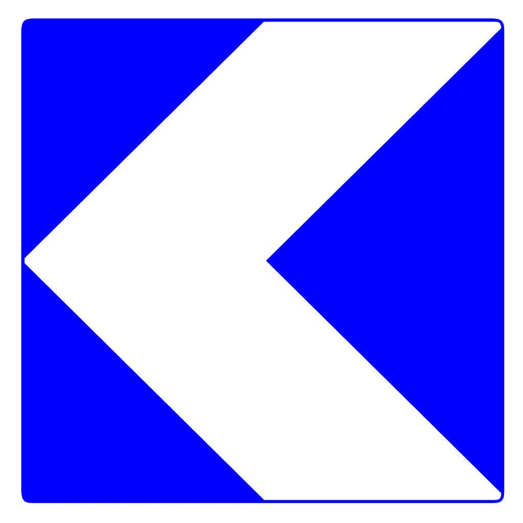
Blue and white chevrons are used in France. In Europe, only France and Spain use blue and white chevrons.

Concrete square utility poles and segmented poles can be found. The same type of pole also exists in the French territory of Réunion. Segmented poles are also found in neighboring Spain, and hollow-core poles and Chile-style poles are also occasionally seen, so check the surrounding scenery as well.

Street name signs are sometimes mounted on building walls and say “Rue”. You may also see plates in other languages such as Occitan alongside them. Below is a sign from Toulouse.

Mailboxes in France are often rectangular and cube-shaped. Similar mailboxes can occasionally be found in Portugal.


Red regulatory signs such as speed limits have a white border. Notably, the blue “keep right” sign being square is unique to France.


Poles with blue plates attached. Segmented poles also exist.
Système U is a French supermarket cooperative (from Wikipedia 『Système U』). When it levels up, it becomes Hyper U.
Narrow down state/region
Terrain
- The north and west are mostly flat, while the south and east have many tall mountains
- If you see rugged mountains with exposed rock faces, consider Corsica


Vegetation
- Tall pine trees are common on the west coast and certain Mediterranean areas, especially around the natural parks in the southwest
- Short pine trees are found near the southeastern coast and the Hyères Islands
- Giant reed (Arundo donax) grows in warm coastal areas
They seem most common on the west coast, especially around the natural parks in the southwest. They can also be found on the southeastern coast. See this map for their distribution.

By The original uploader was Biopresto at Italian Wikipedia. - Transferred from it.wikipedia to Commons., CC BY-SA 3.0 it, Link
Found near the southeastern coast and the Hyères Islands. See this map for their distribution.

Found mostly along the southern coast(References iNaturalist - Arundo donax). Giant reed generally grows in warm areas. For example, in Turkey it grows along the southern coast, in Japan it is found in the southern half, and in New Zealand it is found on the North Island.

Area Codes and Overseas Departments
- The first two digits of the area code can help identify the region. 01 is the Paris area, and the rest go clockwise
- '02 9x' indicates the peninsula (credit: citizen John via comments)
- '04 95' is an island, but finding phone numbers there may be difficult since it is not urban
- France has overseas departments where you may also see EU-style license plates with a blue strip on the left

Phone numbers consist of five pairs of two-digit numbers. The first pair (essentially the area code) identifies the region. Paris is 01. From 02 onward they go clockwise, making them easier to remember compared to other countries.

CC BY 3.0. Telephone numbers in France. (2023, March 30). In Wikipedia. (modified)
A supplementary diagram. It is roughly useful to know that 02 9x narrows down to the peninsula, 05 4x reaches fairly far north, and whether 04 7x determines if you go to the coast or not. Ideally you would memorize all four digits for every region, but personally these three patterns are the most practical to remember.
Architecture
- The west coast has many white-walled single-story houses
- Around Luberon in the southeast, you can find walls built from thin flat white stones stacked together
- Regions with access to slate(References Slate) tend to have darker roofs
- Major slate-producing areas are the Brittany peninsula in the northwest, the Corrèze area in central France, and near the Pyrenees — generally more common in the northern half centered around the peninsula
- (References France Tips for Geoguessr Guillaume Borde (Guigz#3433))
- (References Francepixel)
- If you see a lot of brick, consider the area near Belgium(by now_and_jenn )(References France Tips for Geoguessr Guillaume Borde (Guigz#3433))
- Near Switzerland, the mountain houses resemble Swiss architecture
Along the west coast, especially on the islands, white-walled single-story houses are common. Window shutters are often painted in bright colors.


Regions where slate is readily available tend to have dark roofs(References Brittany). For example, the Brittany region in the northwest has many dark roofs with stone walls and stone-built houses. According to Wikipedia(References Ardoise), the areas where slate was heavily produced — the northwestern peninsula, the Corrèze area in central France, and near the Pyrenees — tend to have dark roofs. See ‘France Tips for Geoguessr’ for detailed regional maps.


Agriculture
- ■ Vineyards spread across several regions
- ■ Livestock farming is prominent
- ■ Sheep and goats are common near mountainous areas
- Crops show some regional variation European agriculture distribution
- Rapeseed fields are more common in the north
- Sunflower fields are less common along the northern coast
Source: Swinnen, Johan, Pavel Ciaian, and d’Artis Kancs. Study on the Functioning of Land Markets in the EU Member States under the Influence of Measures applied under the Common Agricultural Policy. No. 04/2008. EERI Research Paper Series, 2008.

Language
- Town name suffixes can indicate the region
- Near Germany, town names may contain "ett" or "heim"
- In the southwest, town names often end in "ac"(References France Tips for Geoguessr Guillaume Borde (Guigz#3433))
- If you see Occitan text, try heading to southern France
- Corsica has bilingual signs in French and Corsican, and sometimes the French text is painted over or defaced
Place names are influenced by neighboring languages. If you see “~heim”, head toward the German border. “~court” or “~ville” suggests the north. If you see “~ac” and there are few dark roofs, head south.
Below is a sign from Toulouse — the lower text is in Occitan.
For historical reasons, the French text on signs is sometimes graffitied over or has holes punched through it. See external sources for details(References Corsica).

By skender - File:Col_de_Teghime_et_D81.jpg, CC BY 2.0, Link
Narrow down city/town
It is a small island, but mountains exceeding 2,500 m stretch across it, and inland roads show rugged mountain scenery. The photo shows the D27 road. Except for the eastern coast, there is virtually no flatland, and 40% of the island is a nature park with pristine wilderness. If the terrain is mountainous with natural (non-planted) forests and no signs of agriculture, consider this island.

Noirmoutier Island is a Ramsar-listed wetland, with flat terrain that is quite unusual for France(References Noirmoutier Island). There are many waterways with abundant floating aquatic plants. Similar landscapes can also be found on Île d’Oléron and Île de Ré.

There are many unpaved roads and yellow signs. The Mediterranean climate means the surrounding vegetation has a warm feel(References Porquerolles).

- Karst coves called Calanques dot the Mediterranean coast(References Calanque)
- The D64 across Col de la Bonette is often cited as the "highest road in Europe"
- A paved approach leads to Aiguille de la Grande Sassière(References Aiguille de la Grande Sassière)
- Paris arrondissements spiral clockwise(by now_and_jenn )
Karst inlets near Marseille. The Marseille outskirts have many such karst formations. Beware of hollow-core poles and Chile-style poles in this area.


A road leads to Aiguille de la Grande Sassière, an Alpine peak in the Savoy department of France. Noted here because it does not immediately look like France at first glance.

By Tiia Monto - Own work, CC BY-SA 4.0, Link
Paris arrondissements start at the Louvre (1st) and increase in a spiral pattern clockwise.

ThePromenader, user:yonidebest added the numbers - Image:Paris arr jms.gif, CC BY-SA 3.0 - Link
Near intersections, building walls display plates reading “XX ARR, RUE YY”. For example, the plate below indicates the 8th arrondissement of Paris.

Original image source
- By Chabe01 - Own work, CC BY-SA 4.0, Link
Notable Companies
| Company | Code | Description | Financials | Dividend History |
|---|---|---|---|---|
| TotalEnergies | One of the Big Oil companies and the 21st largest company in the world(References Big Oil). | |||
| Sanofi | A pharmaceutical and biotechnology company operating in over 100 countries. |