How to Distinguish
- Cars drive on the left side
- Official language is English
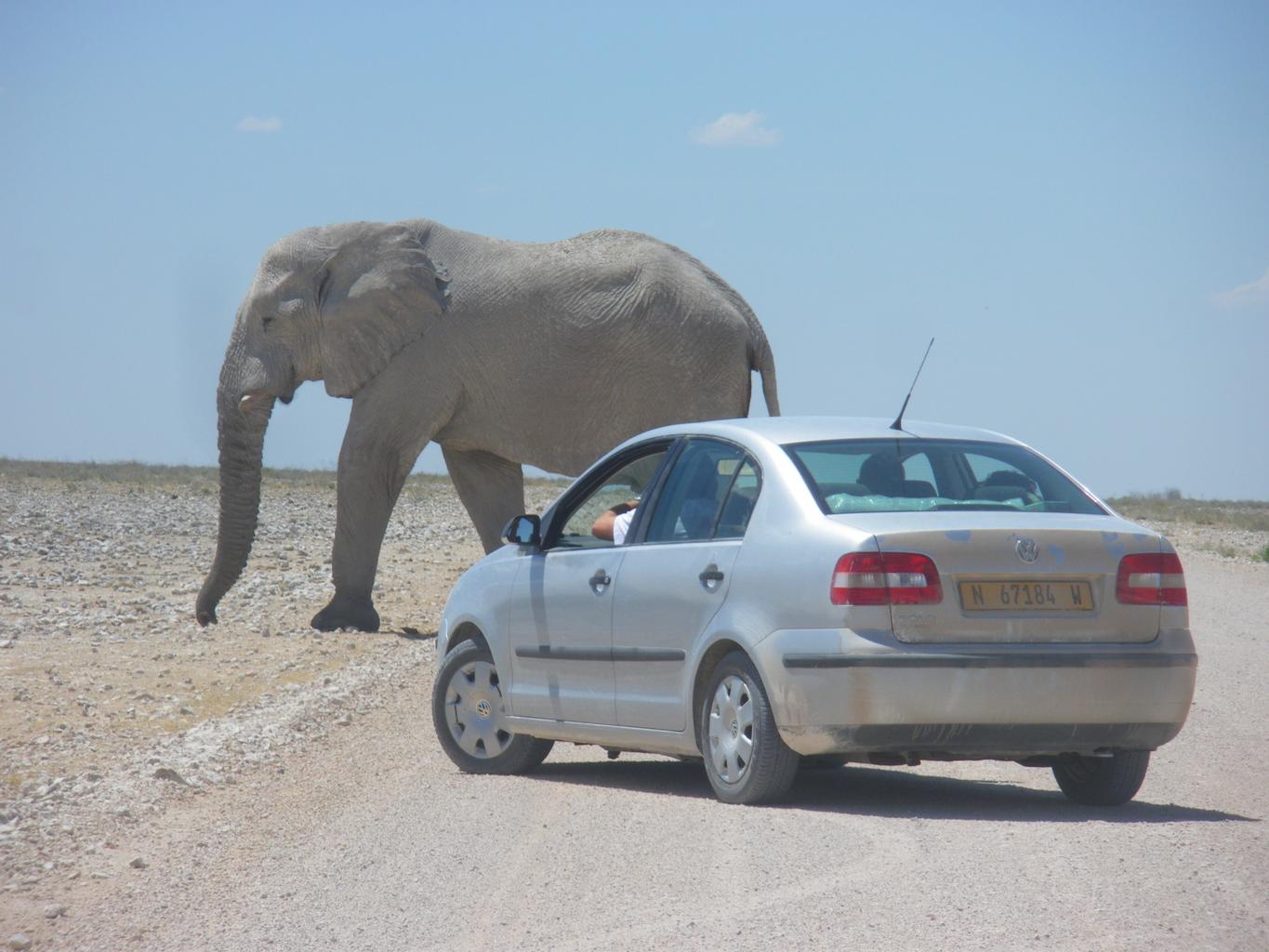
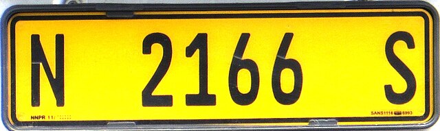
- Standard passenger vehicles have yellow license plates
- Street names derived from German can be found
- Domain is .na
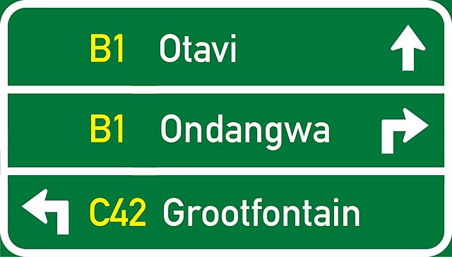
Signs you can find


By Dickelbers - Own work, CC BY-SA 4.0, Link
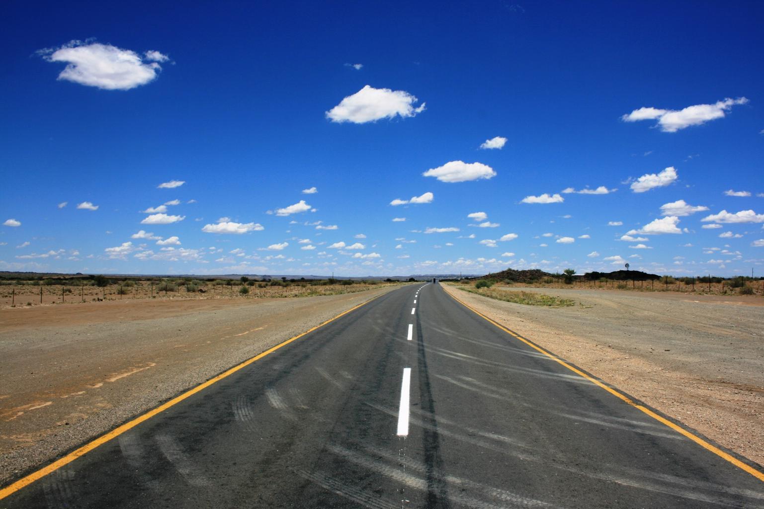
The flat Namib Desert spreads along the coast. It is classified as a west coast desert, similar to the Atacama Desert in Chile(References west coast deserts).
After colonization by Germany, Namibia was under the mandate of the Union of South Africa. As a result, street names with German sounds can be seen.

By Zairon - Own work, CC BY-SA 4.0, Link
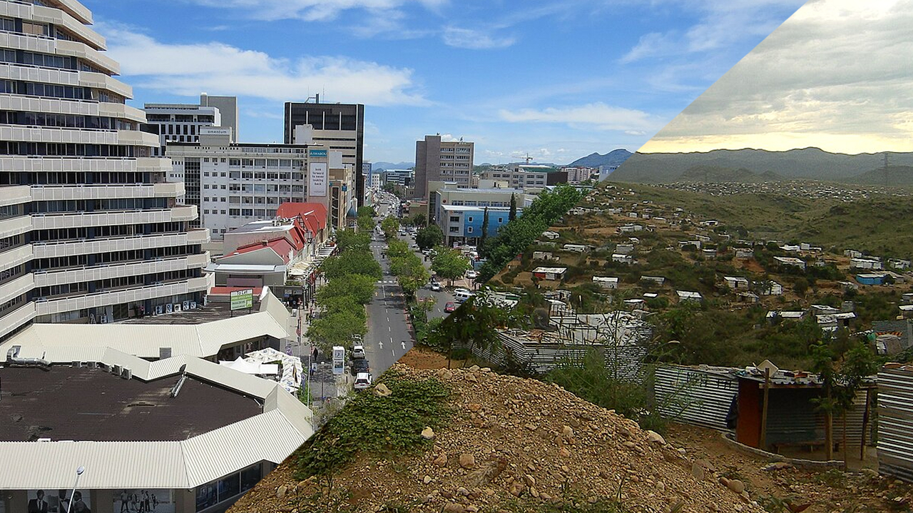
Despite the low population, Namibia is rich in mineral resources like diamonds and uranium. As a result, urban areas tend to be relatively safe and well-developed in terms of housing and infrastructure. In places like Swakopmund, European-style architecture influenced by Germany still remains(References Swakopmund).

Namibia has a very high income disparity, with a Gini coefficient of 0.58(References Country Assistance Policy for the Republic of Namibia). In the city center, Western-style buildings can be seen, while in the outskirts, including rocky and less habitable areas, slums are widespread(References List of slums in Namibia).
Narrow down state/region
Scenery
- Elevation varies by region, and the area becomes mountainous beyond the coastal lowlands.
- The proportion of tree and grass coverage varies by region (References Atlas of Namibia Project)
- 笆 Areas with more than 80% coverage
- 笆 Areas where trees grow but are not covered by grasslands
- 笆 Areas classified as Nama Karoo where only shrubs and small grasses grow, without large trees or grass coverage
- 笆 Namib Desert
- 笆 Light-colored soil areas
- 笆 Inside the frame: areas with slightly reddish soil
- 笆 Areas with dark brownish soil
- Railways run from the most important port, Walvis Bay, and Luderitz - the only port until the end of apartheid - for container transport.
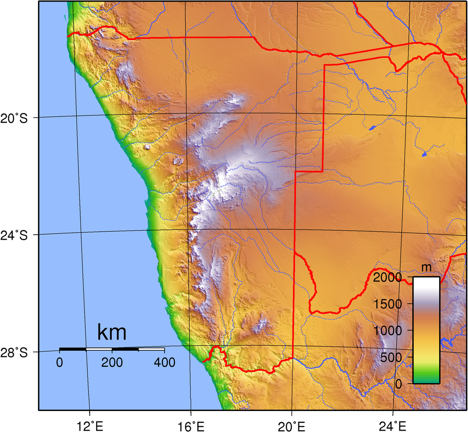
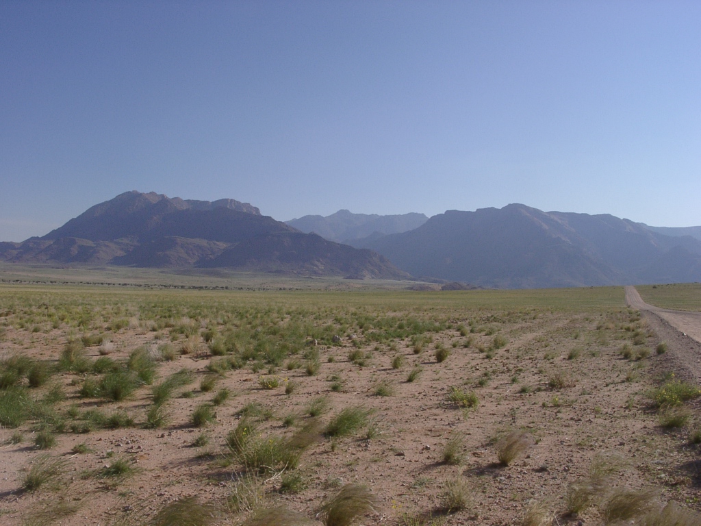
Beyond the coastal lowlands of the Namib Desert lies the mountainous Great Escarpment area, where elevation increases by about 1000 meters. In central Namibia and elevated areas, rugged rocky mountains are also visible.
Green areas indicate over 80% coverage, while light green areas show visible ground.

Railways run primarily from the most important port, Walvis Bay (railway lines appear as black and white lines on the island map). Until Walvis Bay was incorporated after the end of apartheid, Luderitz was the only port along the Namibian coast that could accommodate large ships. Thinking of this in historical context might make it easier to remember.

By Htonl - Own work / OpenStreetMap geodata., CC BY-SA 2.0, Link
Vegetation
- Pterocarpus angolensis (commonly known as wild teak) grows naturally along the northeastern Caprivi Strip
- The so-called "exploding palm" is distributed near northern Angola and along the northwestern coast
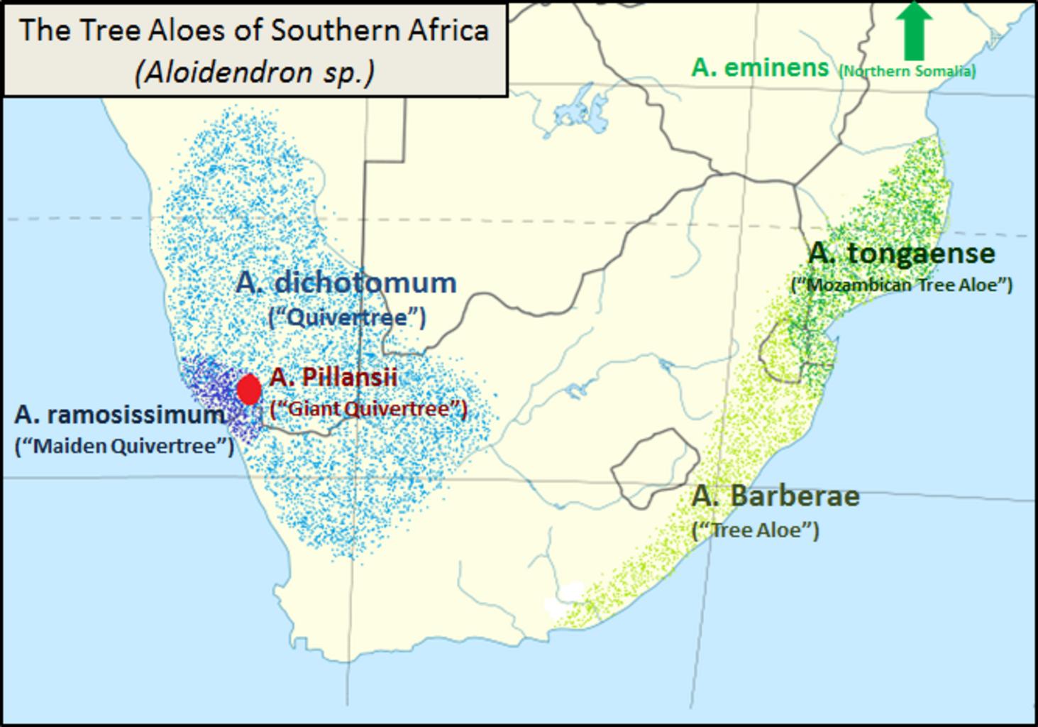
- Aloe dichotoma grows only in South Africa and southwestern Namibia
Wild teak is frequently recorded along the northeastern Caprivi Strip(References pterocarpus angolensis - iNaturalist). You can observe its round, brown pod-like fruit.

By Roger Culos - Own work, CC BY-SA 3.0, Link
The so-called “exploding palm” is distributed near northern Angola and along the northwestern coast.
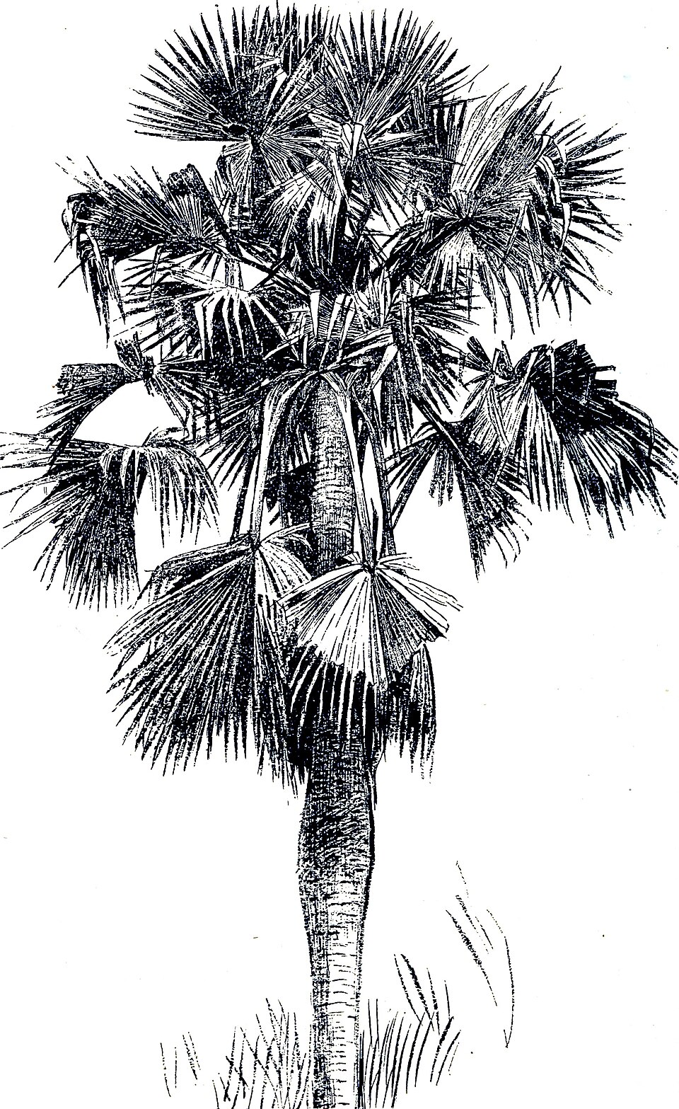
Although its silhouette is distinctive, it may not be often seen due to the lack of roads along the border where it grows.

The distribution area is shown in the light blue dot region in the image below (CC0 image)(References Aloidendron dichotomum - iNaturalist).
Narrow down city/town
The townscape of Aussenkehr . Farms spread out in the surrounding area (References Aussenkehr).

There is a road leading to the popular tourist site called Sossusvlei, surrounded by tall red dunes (References Sossusvlei). Satellite images show that only the path to Sossusvlei is flat, while the surrounding areas are covered by dunes.