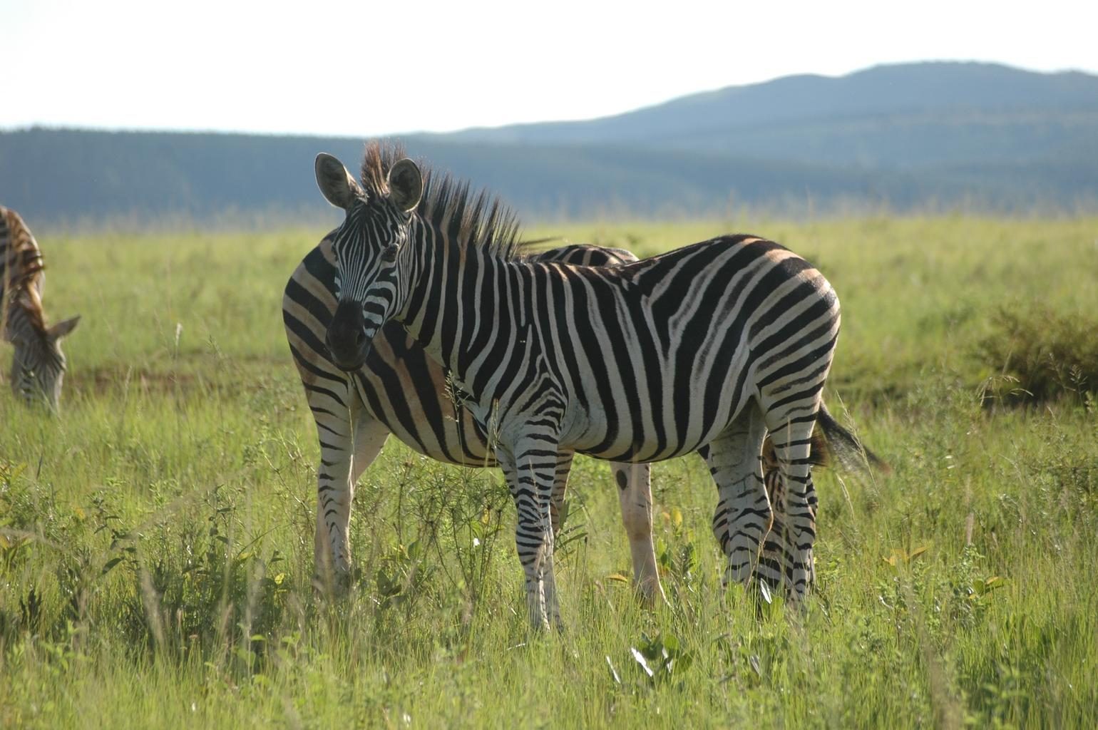
 Eswatini
LanguageSwati, English
Driving sideDrives on the left
Domain.sz
Easily confused with:South Africa, LesothoQuizzes for this area:City quiz
Whole area3
Clues that work anywhere in this area
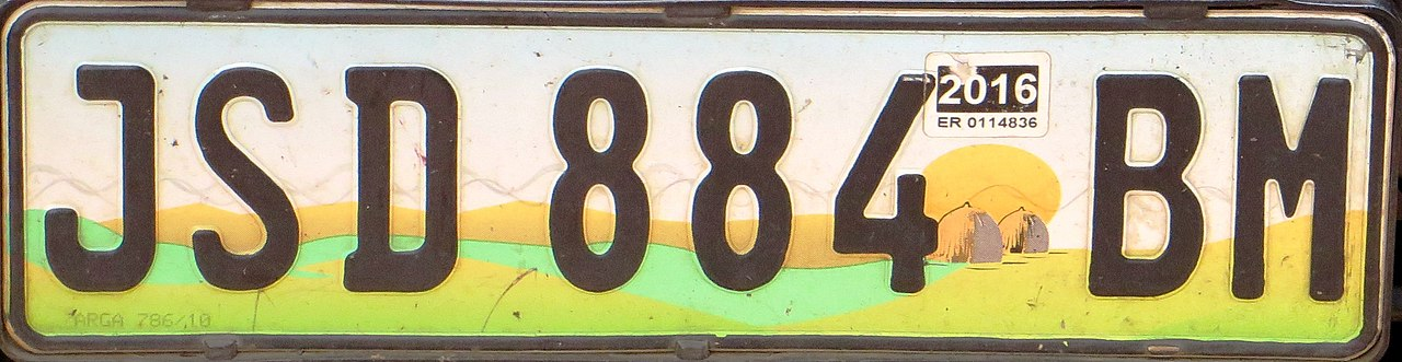
License Plate★★★
License plates look white and yellow-green, with the yellow-green part toward the bottom.
Watch outLicense plates used in central South Africa look similarly coloured, so be careful.
Examples1See alsoSouth Africa

Utility Pole★★★
Utility poles are often thin and made of dark brown wood.
Narrowing down the region3
Once you know the area: which part of it
Elevation
Landscape★★★
The country is divided into the high-elevation Highveld, the mid-elevation Middleveld, and the low-elevation Lowveld, each with its own style of agriculture. The west is mountainous (1,500m elevation) and the east is lowland (200m elevation).
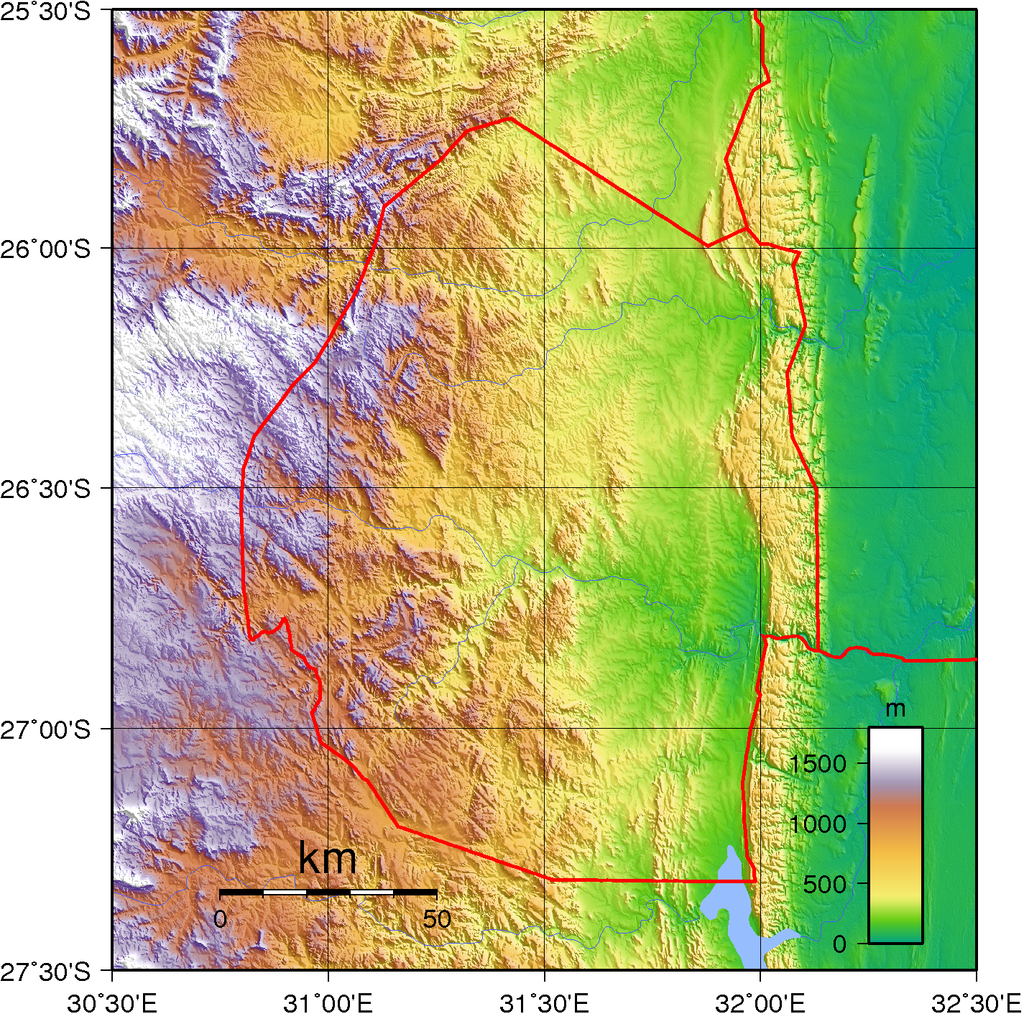
Highveld

Lowveld
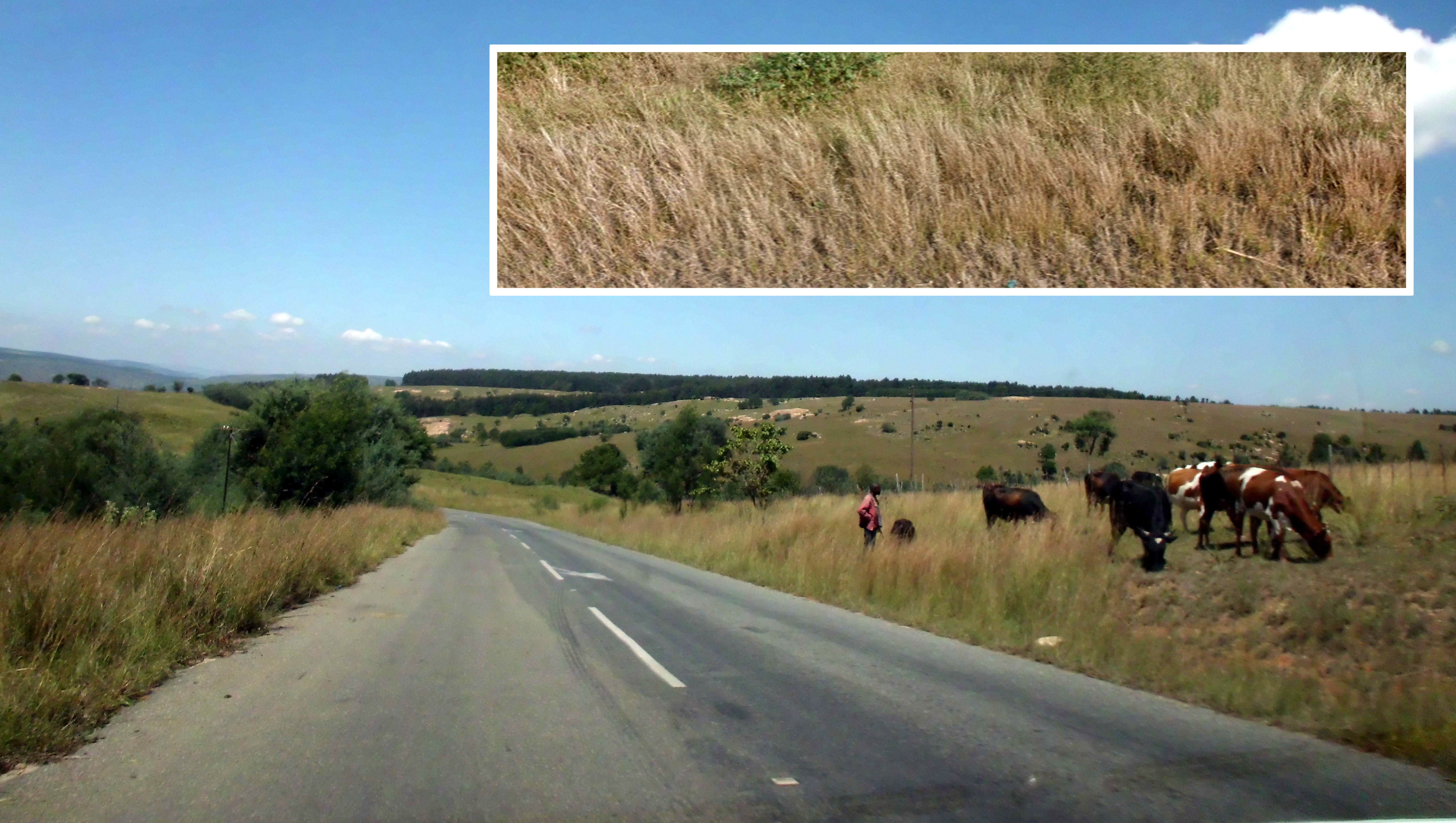
Landscape★★★
The Lowveld is mostly flat and the whole country slopes, so on Lowveld roads you can often see far to the north and south but not far to the east and west.
Photo coming soonLandscape
No clues for this category and place yet.
Regions
Mbabane
Mbabane
Administrative capital, a city of the highveld
Lobamba
Lobamba
Royal and legislative capital
Manzini
Manzini
Largest city and economic centre
Ezulwini Valley
Ezulwini Valley
Centre of tourism and the royal palaces
Nhlangano
Nhlangano
Main town of the south and a sugar-industry hub
Big Bend
Big Bend
Lowveld town in the south-east, known for sugar cane
Adapted from Natural Earth
Quiz
Nearby areas
A page of play notes and identification clues for GeoGuessr.