

 Brazil
 Bolivia
 Columbia
 Curaçao
 Falkland Islands
 ecuador
 Galápagos Islands
 Martinique
 Paraguay
 Peru
Peru Uruguay
 Venezuela
 Argentina
 French Guiana
 Guyana
 South Georgia and the South Sandwich Islands
 Suriname
How to Distinguish
- Language is Spanish
- The domain is .cl
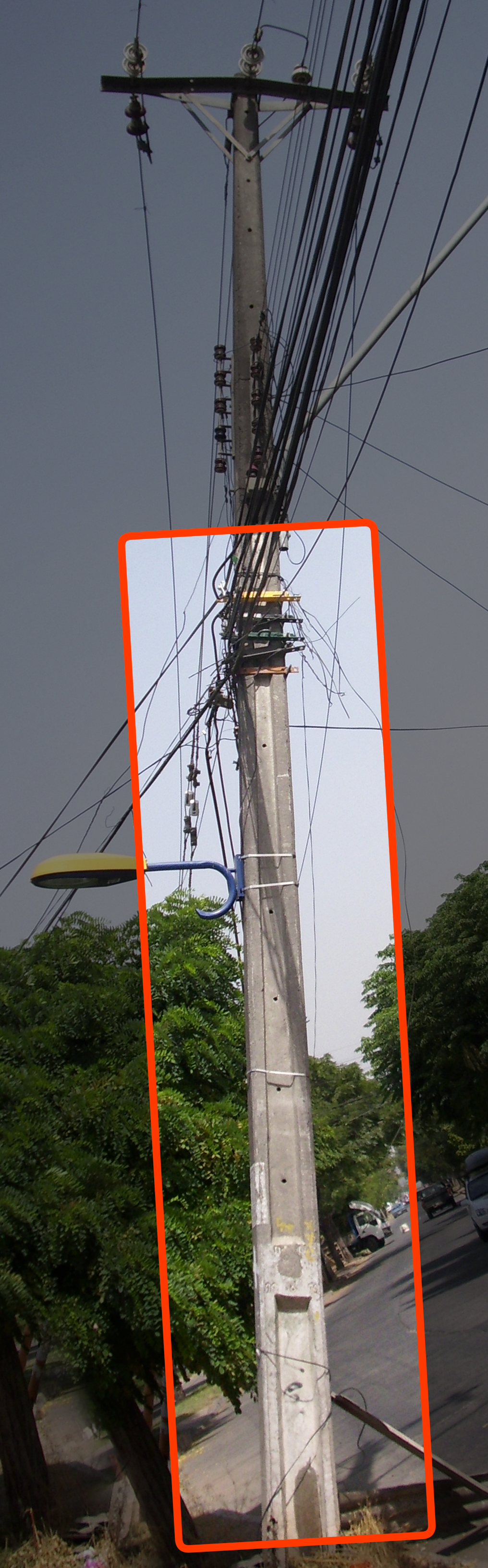
- The recessed band in the middle of utility poles is long with no dividers(by Geotips )
- Sign posts have a groove (by plonk it )
- Purple or white lupine flowers sometimes grow along the road(References Lupinus)
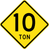
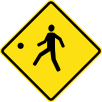
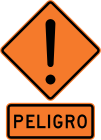
Signs you can find


.svg)
.svg)
.svg)
Though not common, similar undivided poles can also be seen in New Zealand, the Philippines, France, and various other countries, so don’t jump to conclusions.


Lupine plants sometimes grow along the road, with purple or white flowers(References Lupinus). Yellowish concrete roads like this give a strong “far south” impression.

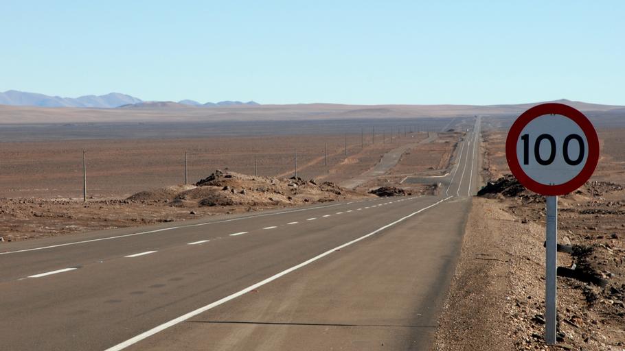
Reflectors on bollards and guardrails are sometimes yellow, which is easy to confuse with Spain, so be careful. The lack of a border on speed signs is also similar to Spain.
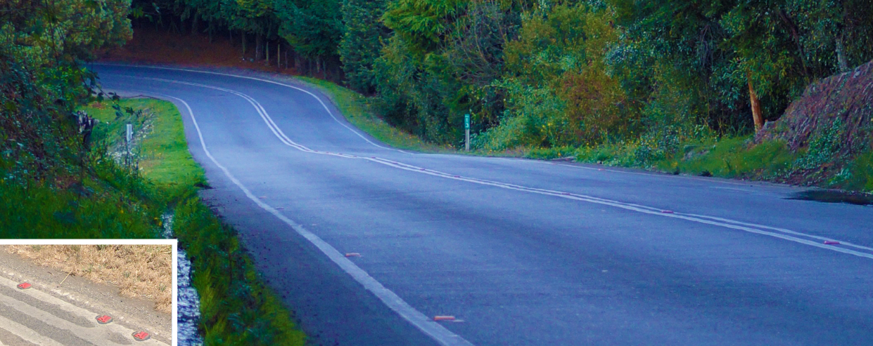
In Chile and Bolivia, roads sometimes have red reflectors.
By [-_-] JORGE - https://www.flickr.com/photos/graficmedia/27486177645/, CC BY 2.0, Link
Taxi license plates tend to be orange or reddish in color. However, since plates also come in white, red, orange, and green, the color alone isn’t a reliable way to identify them.
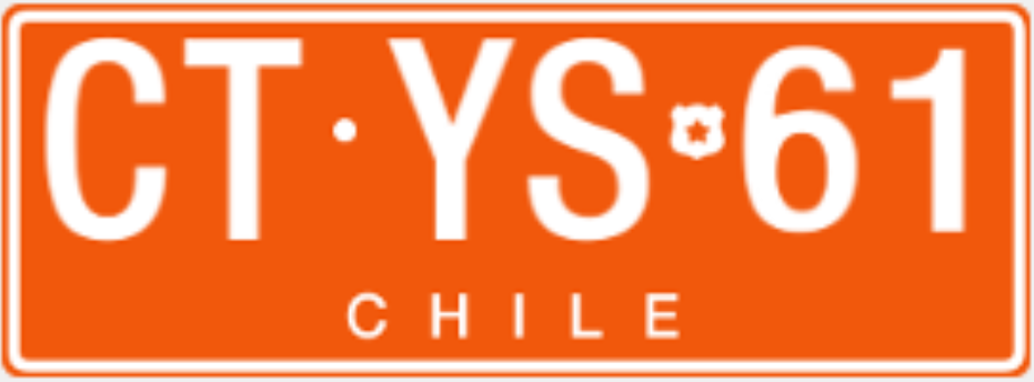
By Apino - Own work, CC BY-SA 4.0, Link, image edited from the original
You might spot facilities belonging to lithium-related companies (Sociedad Química y Minera de Chile, aka SOQUIMICH/SQM, and Albemarle) or copper-related companies. However, since they have no presence in city centers, the places you can reach via Street View are limited.
Narrow down state/region
- Wine production is concentrated in the north-central region
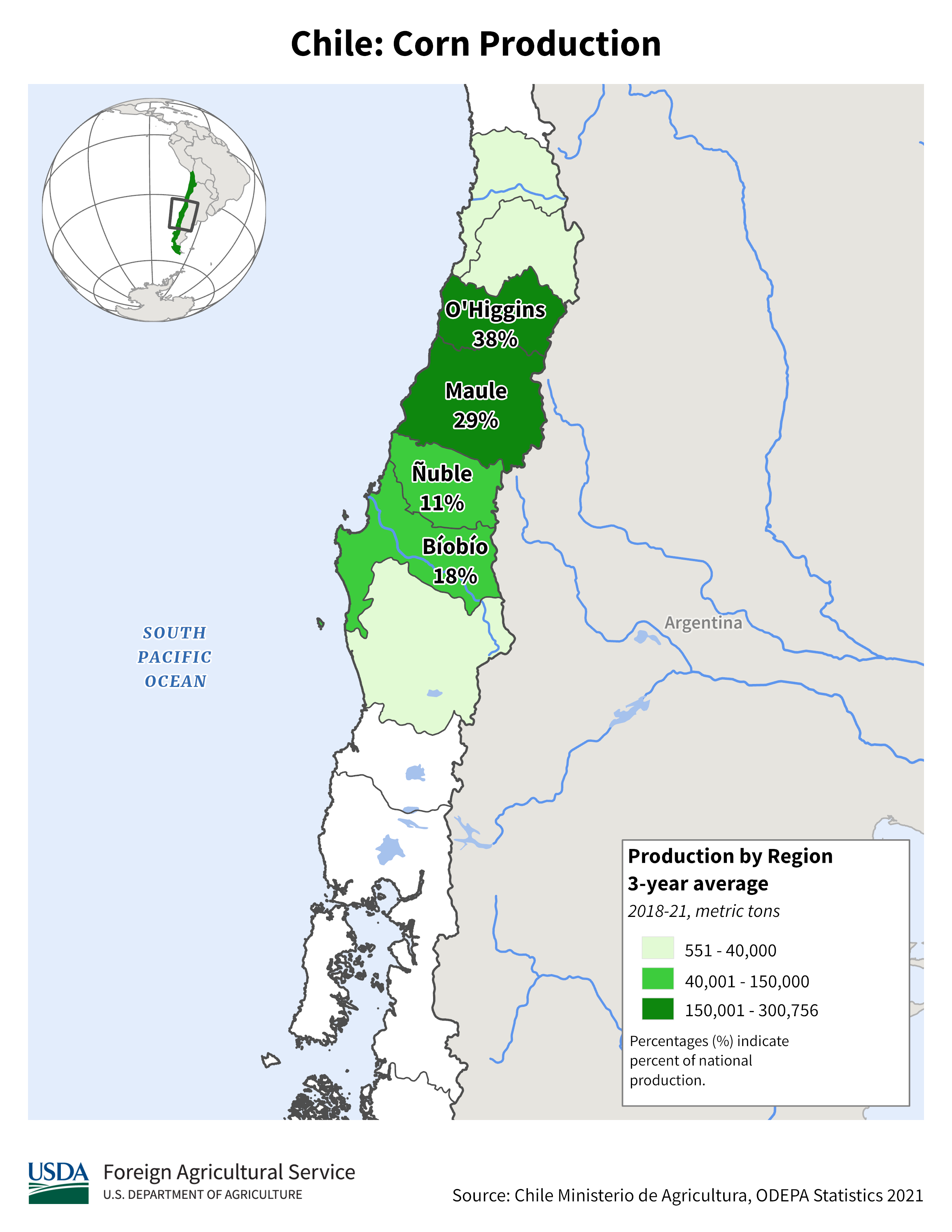
- Cornfields can be found between Maule and O'Higgins(References USDA Chile Production).
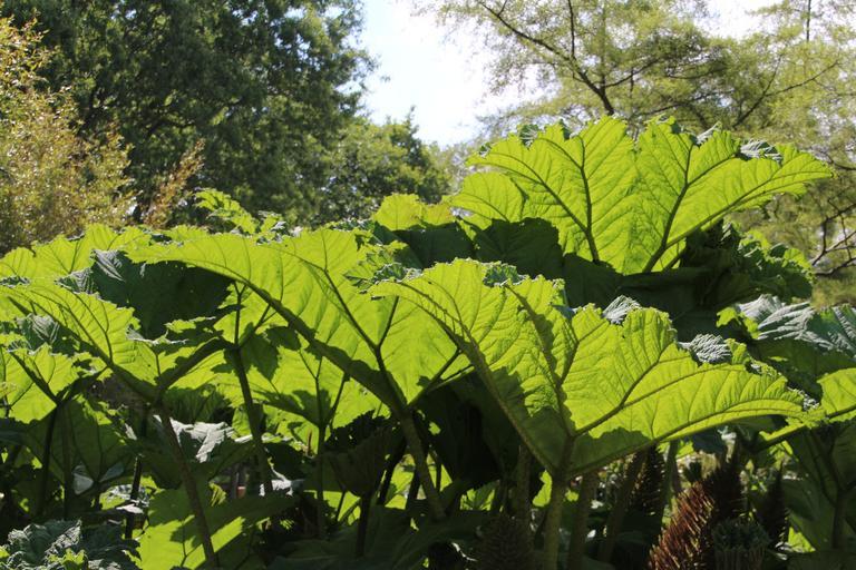
- Chile has many distinctive plants, so spotting one can help you tell roughly how far north or south you are
- Chilean rhubarb only grows in a limited area(by plonk it )
- (References Chilean Flora online database)
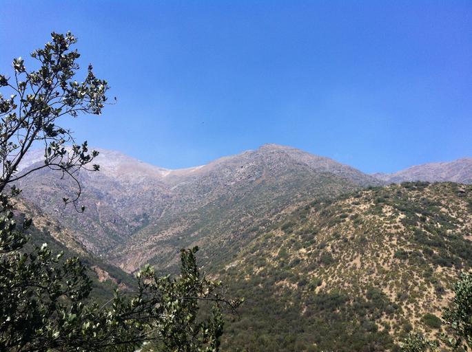
- North of Curicó, snow-capped mountains are almost nonexistent
The area outlined in red produces the most wine, though vineyards themselves extend somewhat further south(References Chilean wine).

By Agne27 at the English-language Wikipedia, CC BY-SA 3.0, Link
See plonkit and similar sources for its distribution(by plonk it )(References Gunnera tinctoria - iNaturalist)
Around the latitude where the E-375 road runs.
An exotic river fed by snowmelt from the mountains of the Atacama highlands, giving it abundant water(References Copiapó River oasis (JP)). A variety of crops, including olives, citrus, and grapes, are grown here. Go 600km further north and you’ll finally find a river lined with trees (the Loa River), but there’s likely little farming there.

By sergejf - https://www.flickr.com/photos/sergejf/4321114656/, CC BY-SA 2.0, Link
Narrow down city/town
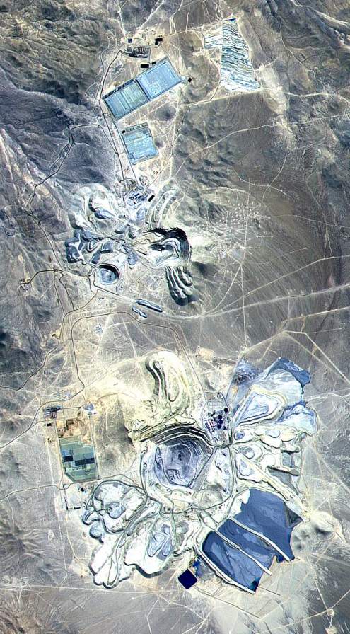
The Escondida mine, one of the world’s largest copper-producing mines, spreads across part of the Atacama Desert. You can spot unpaved roads and mining-related facilities.
Northern Chile’s Atacama Desert accounts for roughly 30% of the world’s copper production, making it the world’s largest copper-supplying region, with copper- and lithium-related industries concentrated there. See Chile’s copper and lithium mining for details.
Snow-covered terrain and the sea are visible to the north. Occasionally you can spot a truck-like vehicle(References Puerto Williams).
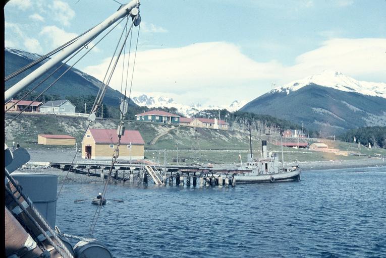
Puerto Toro is the southernmost permanently inhabited community. There are no paved roads, so the imagery here was captured on foot.

By Butterfly voyages - Own work, CC BY-SA 3.0, Link
Regions of Chile (16)
Try the quiz- Arica y Parinacota
- Tarapacá
- Antofagasta
- Atacama
- Coquimbo
- Santiago MetropolitanCapital
- Valparaíso
- Maule
- O'Higgins
- Ñuble
- Araucanía
- Biobío
- Los Ríos
- Los Lagos
- Aysén
- Magallanes
Description of representative companies