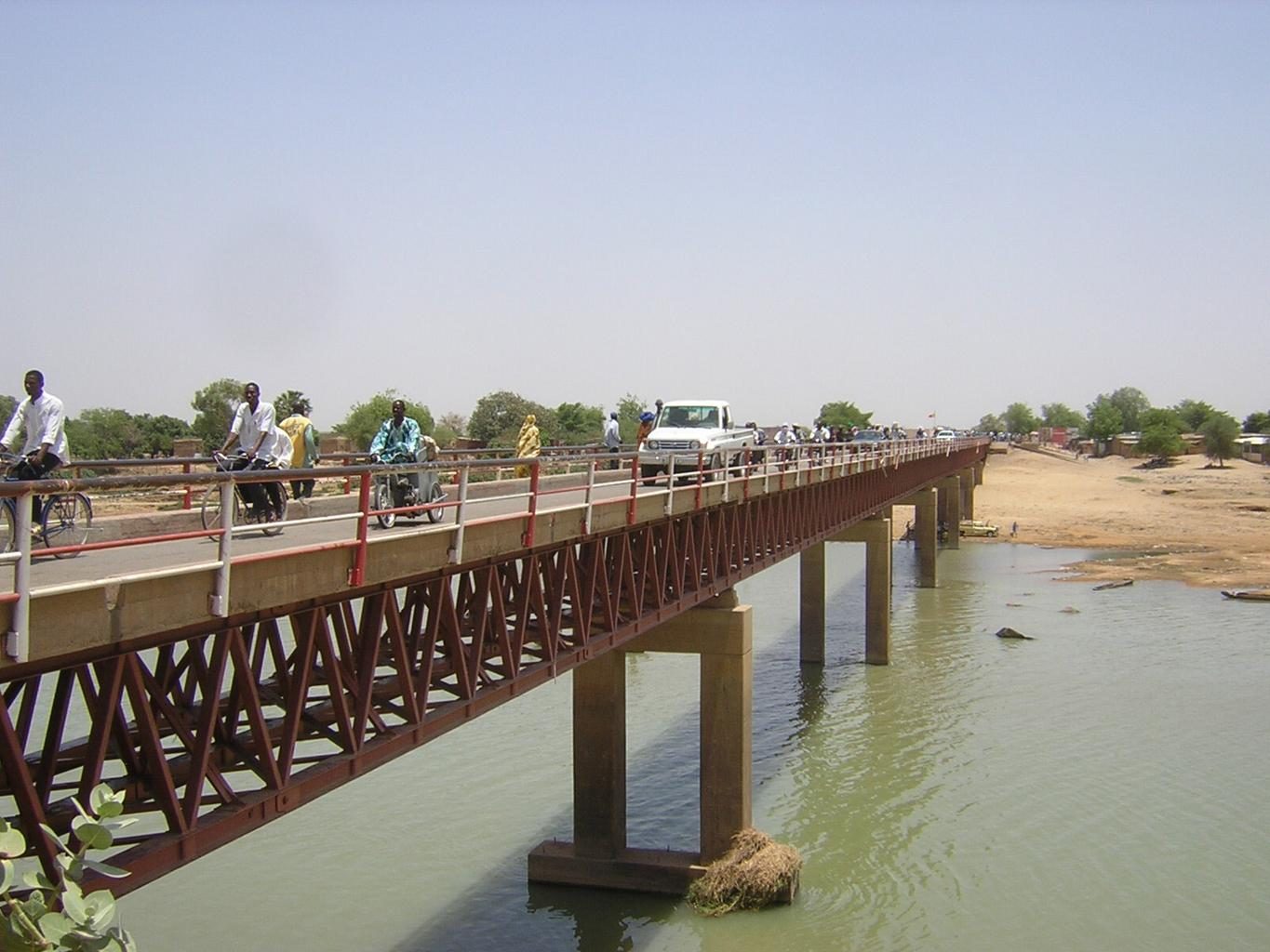
Language & Script★★★
French and Standard Arabic are used, along with various indigenous languages. In urban areas, everyday conversation is often in French too.
SourcesFrench CommunitySee alsoFrance

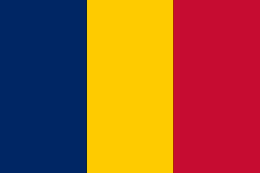 Chad
ChadNot in official mapsNo official coverage, so it never appears in GeoGuessr's official maps.
Clues that work anywhere in this area
French and Standard Arabic are used, along with various indigenous languages. In urban areas, everyday conversation is often in French too.
Tuk-tuks are used in urban areas.
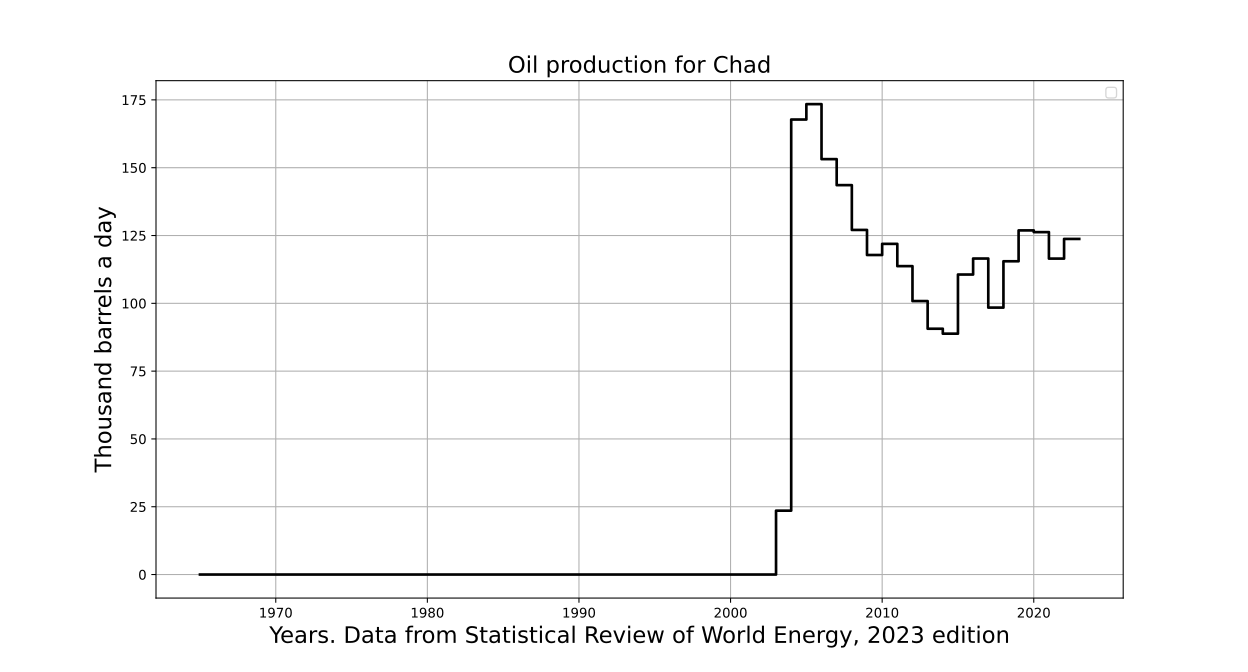
A pipeline enabling exports via Cameroon was completed, making crude oil exports from the Doba oil field possible. This crude accounts for the bulk of exports.
Once you know the area: which part of it
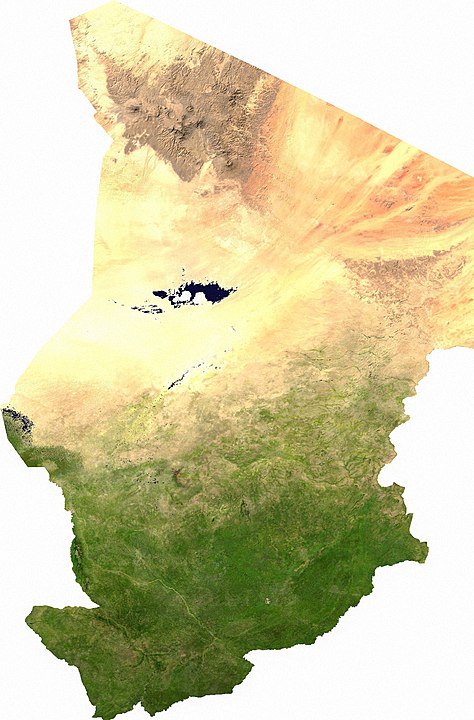
The further north you go, the drier and more desert-like the climate becomes; the south has a savanna climate with savanna landscapes.
No clues for this category and place yet.
