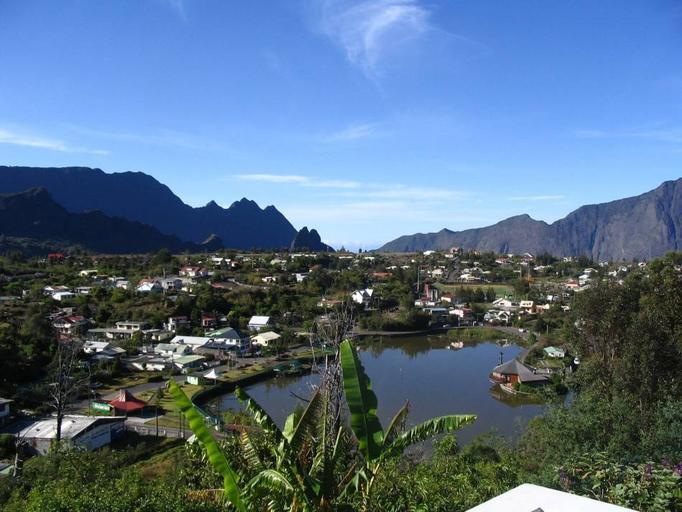
How to Distinguish
- Country domain: .re
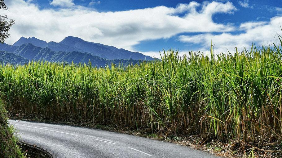
- Sugarcane is widely cultivated
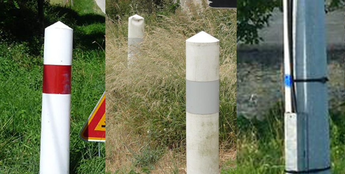
- French-style bollards and utility poles appear
- The Google car is distinctive: a black tape wrap on the right rear
Icon
Unique Google Car
Many Trekker
no official coverage
streaming status


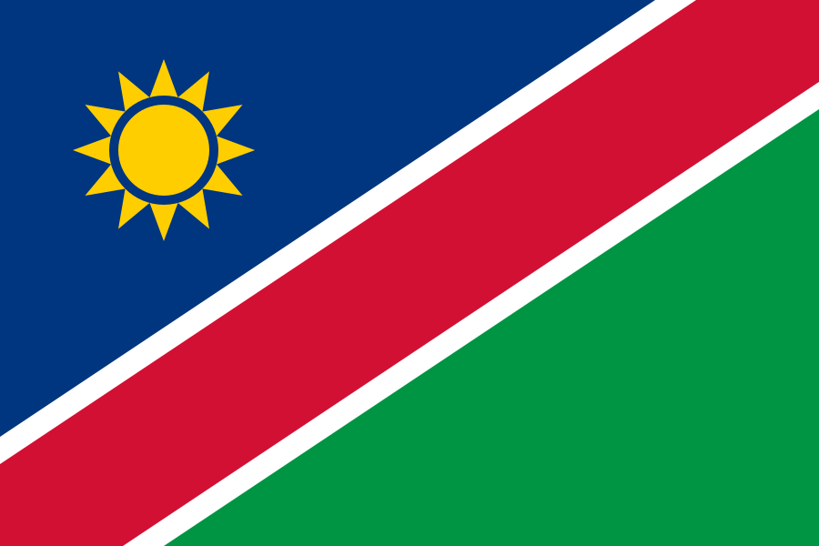 Namibia
 Botswana
 Canary Islands
 Ceuta
Ceuta Egypt
Egypt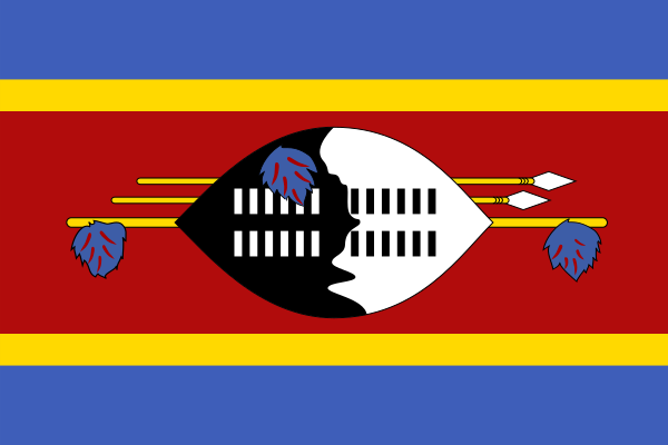 Eswatini
 Ghana
Ghana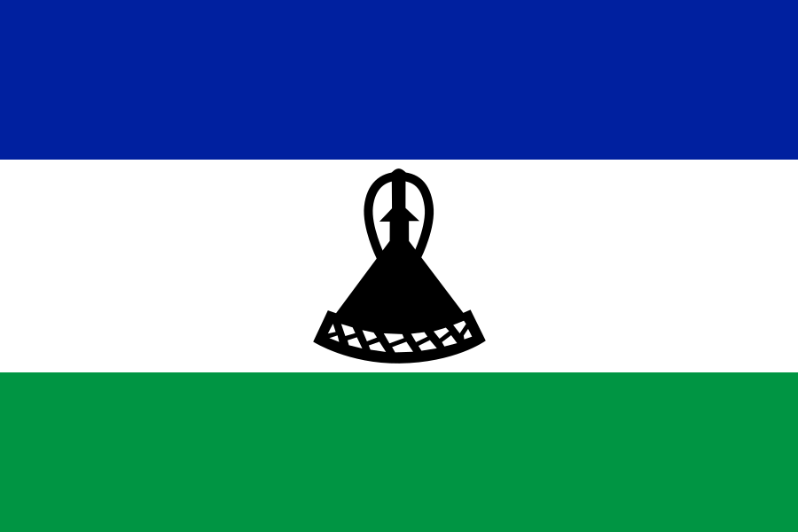 Lesotho
 Kenya
Kenya Madagascar
 Madeira Islands
 Republic of Mali
 Mauritius
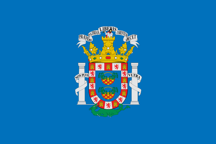 Melilla
 Réunion
 Rwanda
 Nigeria
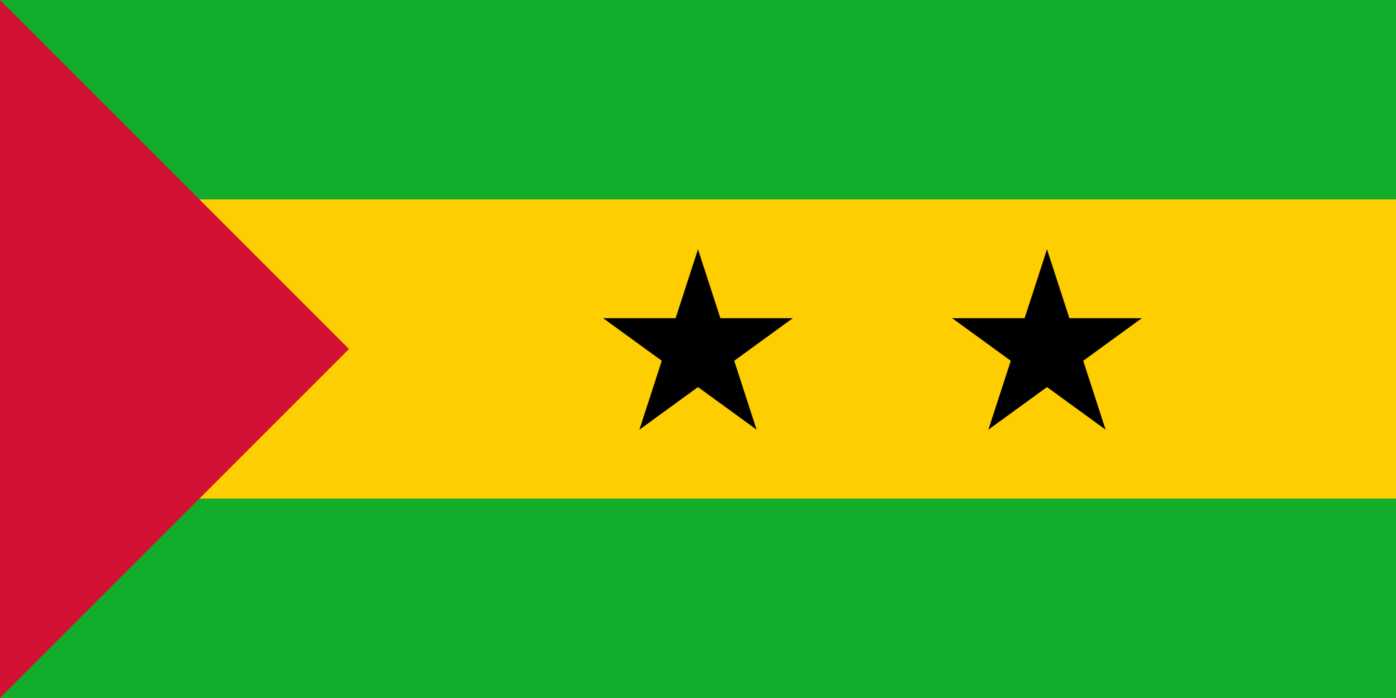 São Tomé and Príncipe
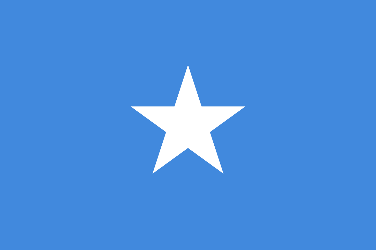 Somalia
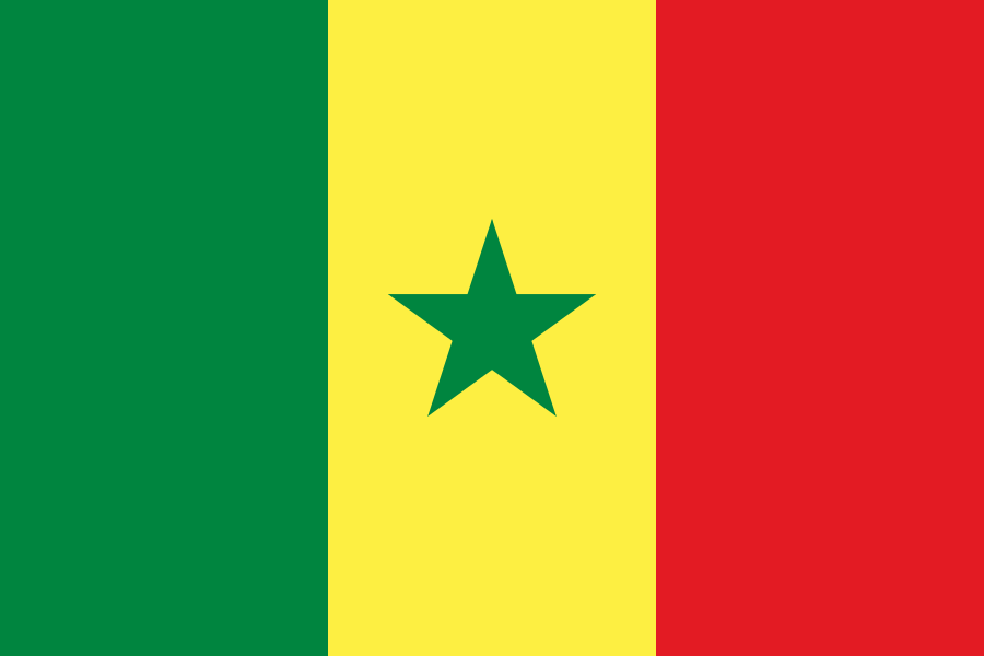 Senegal
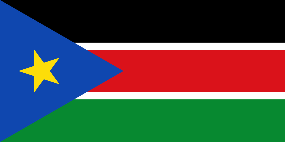 South Sudan
 Sudan
Sudan South Africa
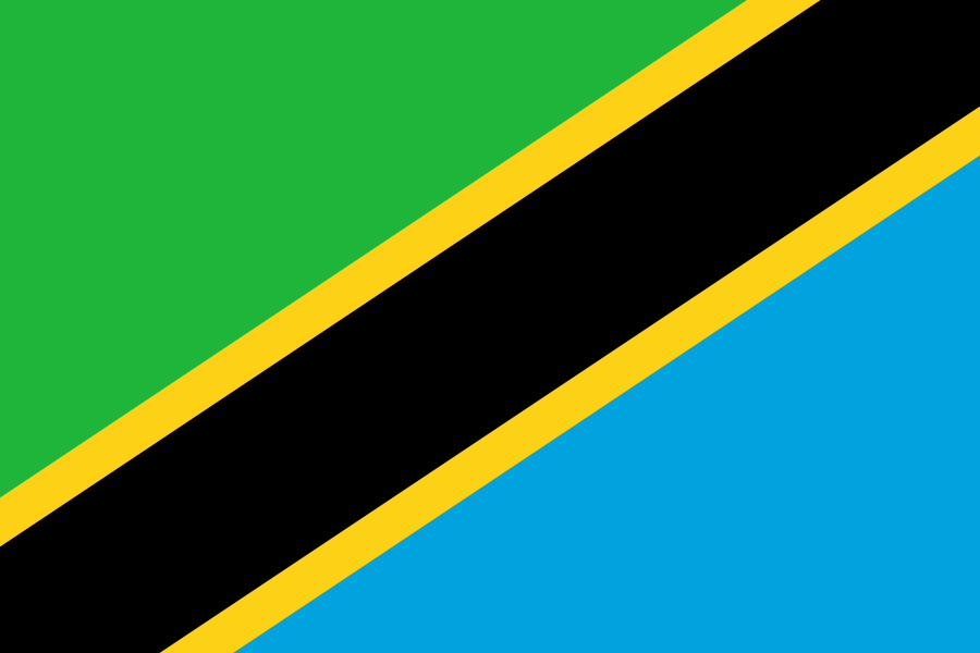 Tanzania
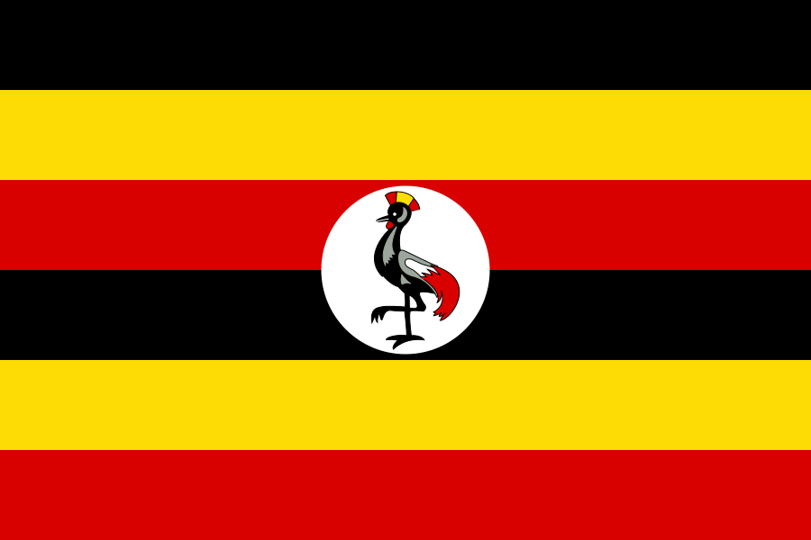 Uganda
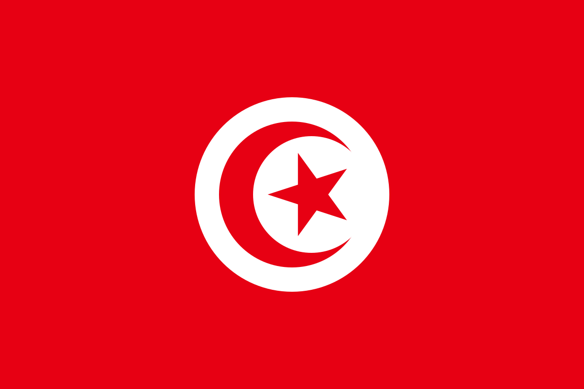 Tunisia
 Republic of Angola
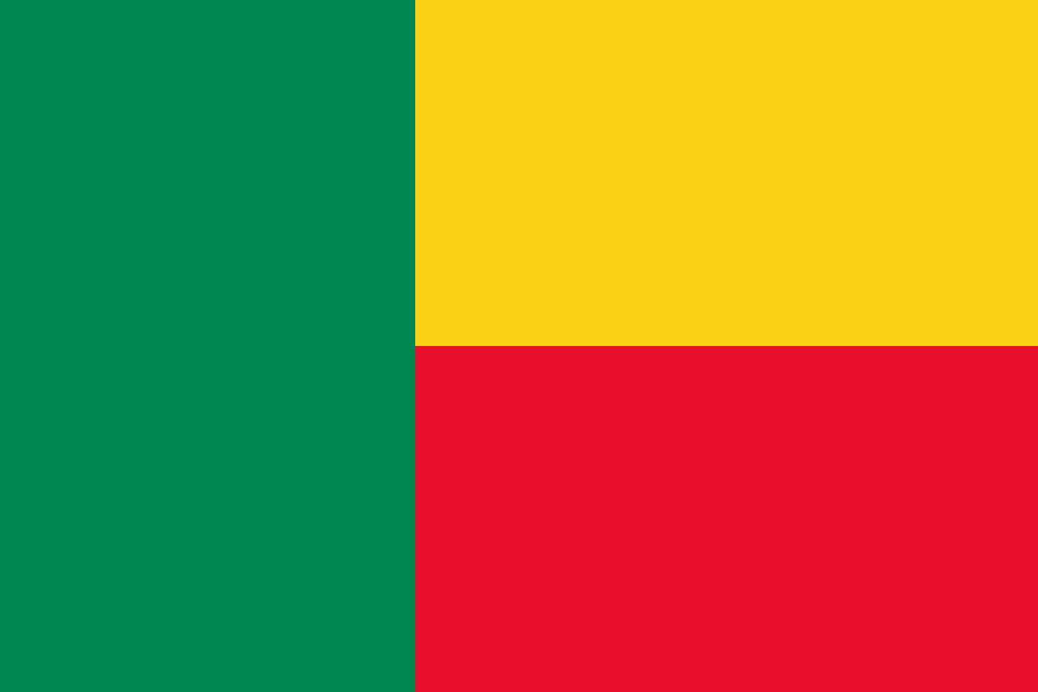 Benin
Benin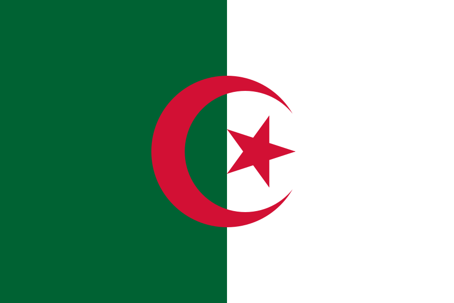 Algeria
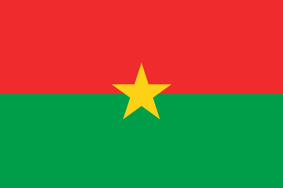 Burkina Faso
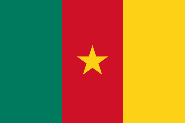 Cameroon
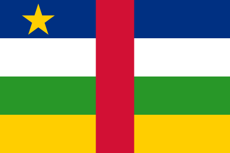 Central African Republic
 Chad
Chad Ethiopia
 Gabon
Gabon Guinea
 Côte d’Ivoire
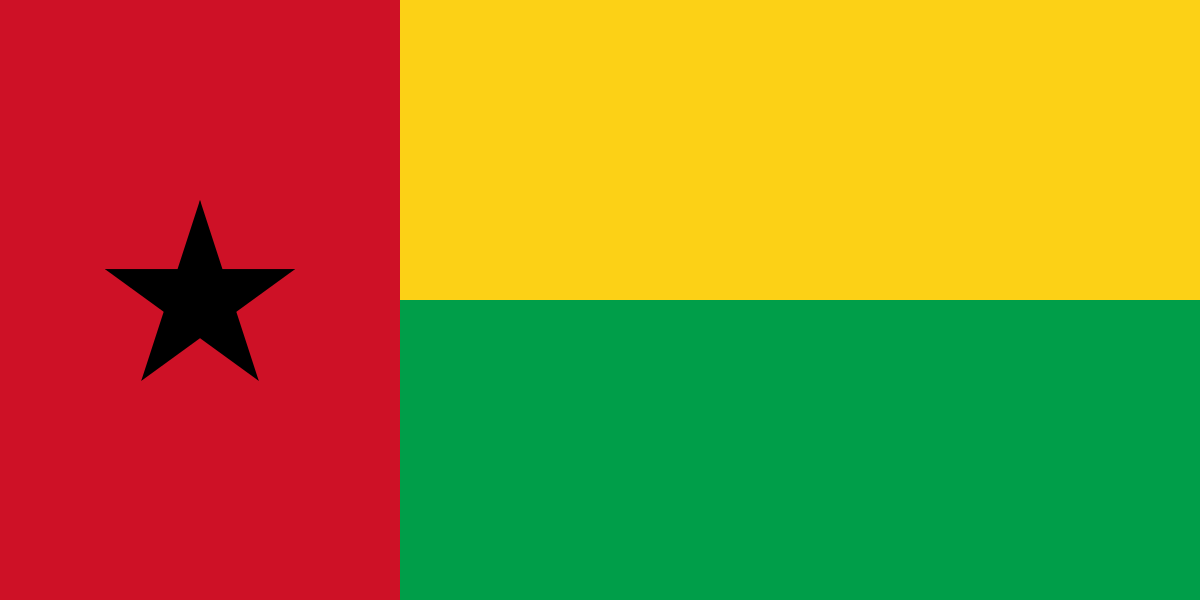 Republic of Guinea-Bissau
 Liberia
 Libya
Libya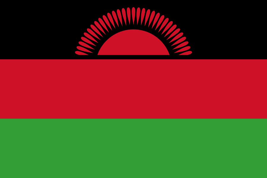 Malawi
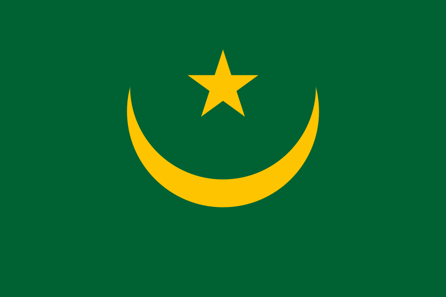 Mauritania
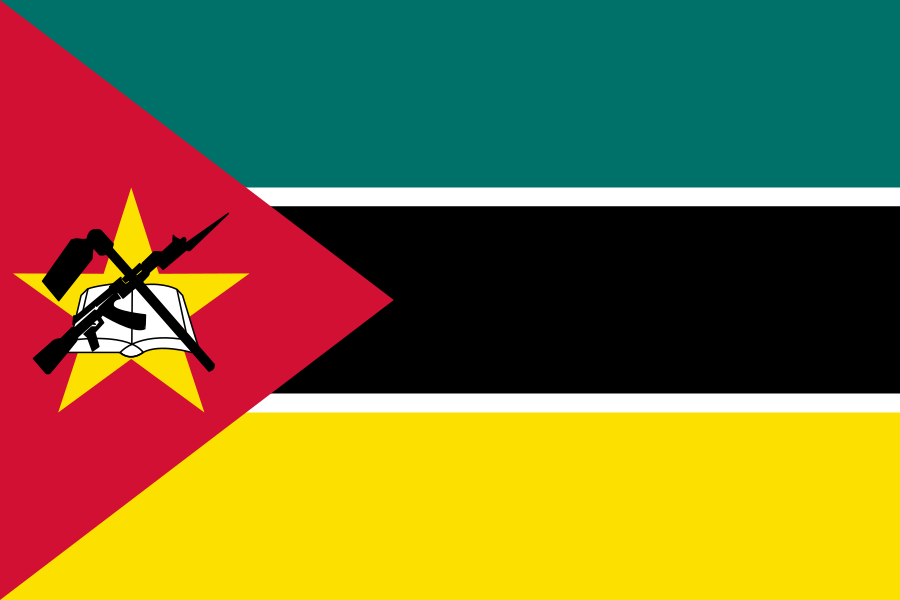 Mozambique
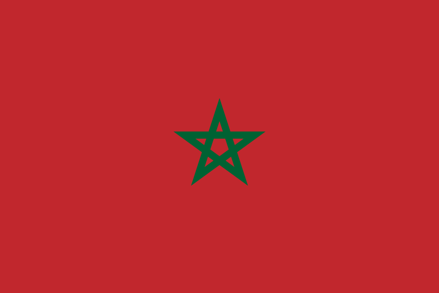 Morocco
 Niger
Niger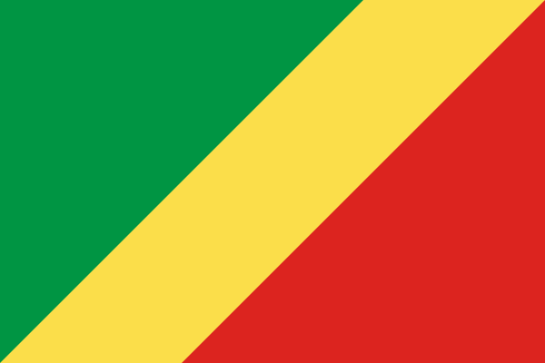 繧ウ繝ウ繧エ蜈ア蜥悟嵜
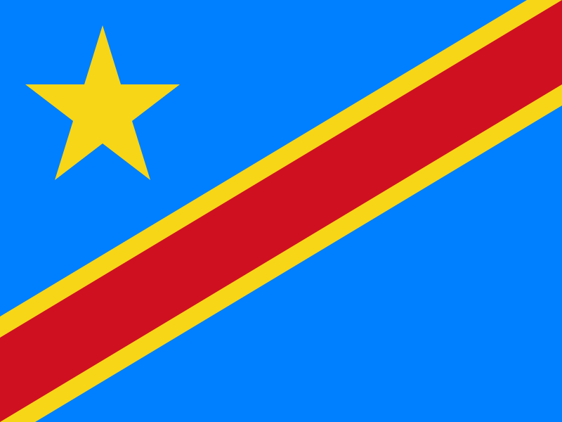 繧ウ繝ウ繧エ豌台クサ蜈ア蜥悟嵜
 Sierra Leone
 Togo
Togo Tristan da Cunha
 Zambia
 繧カ繝ウ繧ク繝舌Ν
 Zimbabwe