Africa

Libya

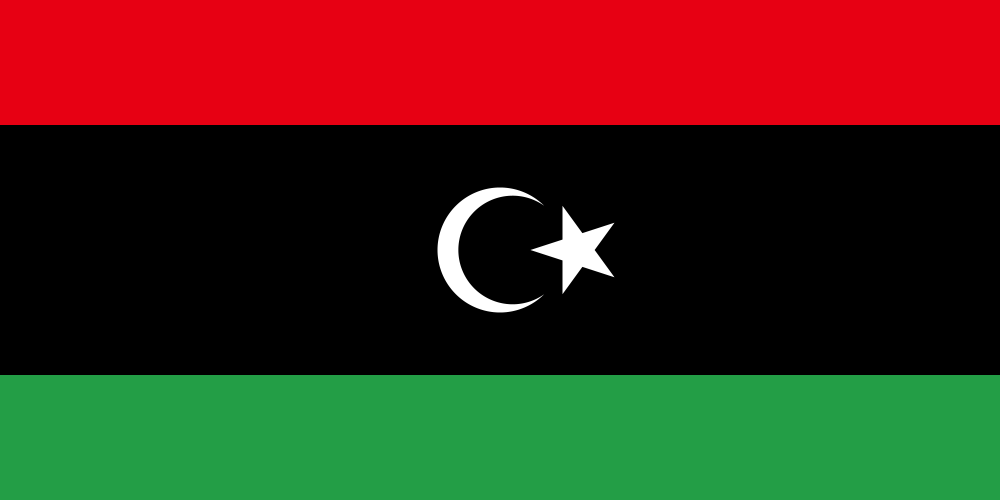
national flag of Libya
Country / Region Features
  • About 90% of the country is desert, and it holds one of the largest oil reserves in Africa [参]
  • The ancient Roman ruins of Leptis Magna are a UNESCO World Heritage Site [参]
Key locations
  • Tripoli Capital, largest city on the Mediterranean coast
  • Benghazi Central city of the eastern Cyrenaica region
  • Al Bayda City in the eastern highlands
  • Misrata Major port city in the west
  • Sabha Central city of the southwestern Fezzan region
  • Leptis Magna World Heritage ancient Roman ruins
  • Cyrene World Heritage ancient Greek and Roman ruins

How to Distinguish

  • No official Street View.
  • A relatively high per‑capita GDP in the region (driven largely by oil), with comparatively modern urban infrastructure.
  • Historical ties to Italy; sign styles often resemble Italian ones.

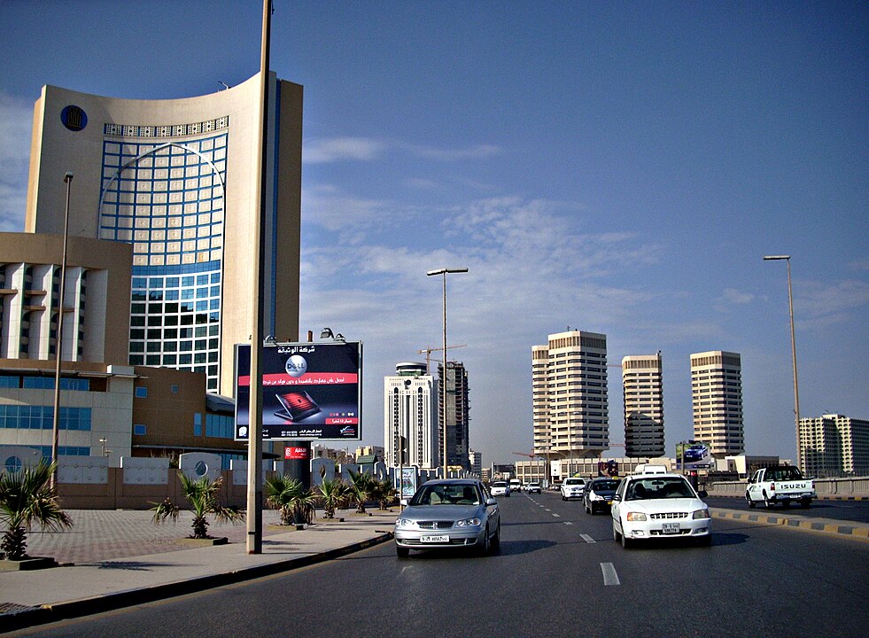
Libya has been an oil-producing country since 1959, and oil now accounts for the vast majority of its exports. Its per-capita GDP is 4 to 5 times higher than neighboring Egypt and other countries, so you may notice cleaner infrastructure and buildings compared to surrounding countries(References 外務省 - リビア国).

Libya GeoGuessr guide image showing 981px Tripoli Cbd

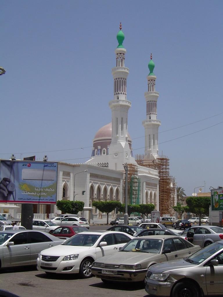
Until it ceded territory to the Allied powers in 1947, this was Italian Libya. Sign styles here have a lot in common with Italy.

Wikimedia Commons photo showing Baladiya Street Tripoli Libya

Reference Pages

geoguessr(ジオゲッサー)のプレイログを記録したページです。
  1. Home
  2. Country & Region Guide
  3. Africa
  4. Libya