Africa

São Tomé and Príncipe Democratic Republic

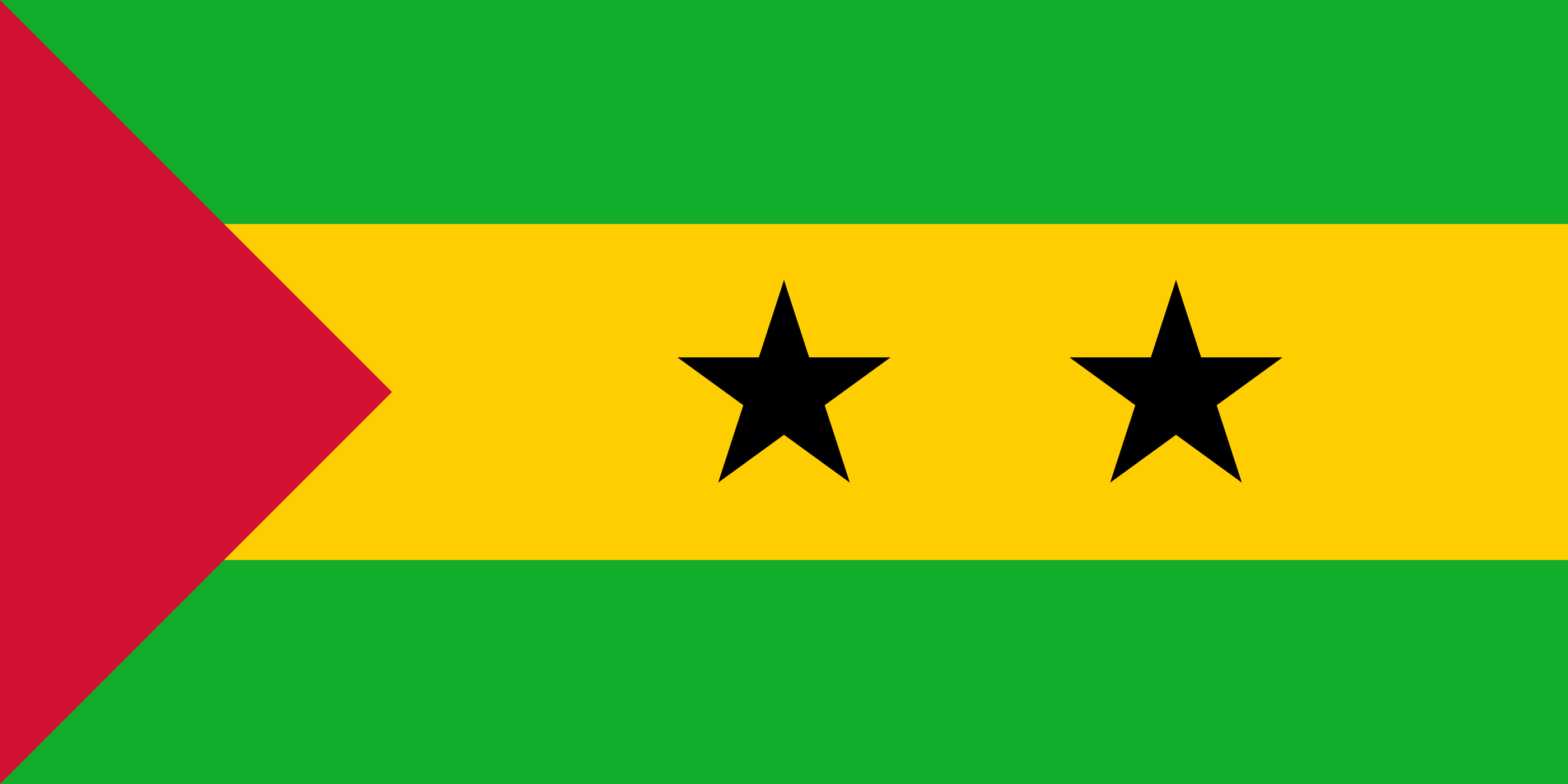
national flag of São Tomé and Príncipe
Key locations
  • サントメ 首都・サントメ島の最大都市
  • サントアントニオ プリンシペ島の中心都市
  • サンタナ サントメ島東部の町
  • サンジョアン・ドス・アンゴラレス 島南部の町
  • ピコ・デ・サントメ 島最高峰(2,024m)の火山
  • ピコ・カオン・グランデ プリンシペ島の象徴的火山岩塔

How to Distinguish

  • Utility poles resemble those in Portugal and Brazil
  • Image quality is poor and the Google car blur is large
  • Portuguese is used, and signage is almost the same as Portugal
  • Country domain: .st

Signs you can find

Utility poles similar to those in Portugal and Brazil can be found. The islands were a Portuguese colony until independence in 1975.

Thin black license plates are used

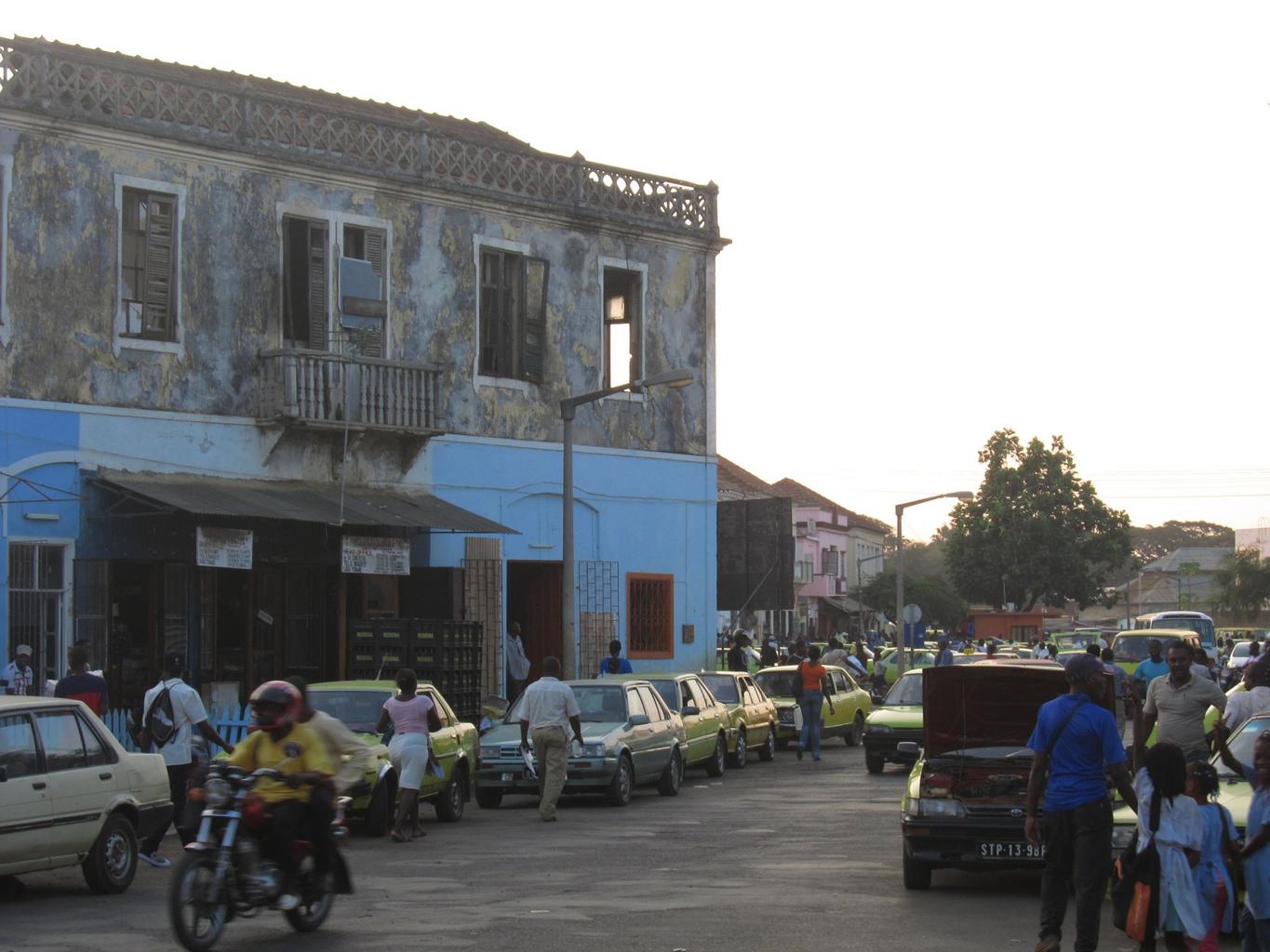
Saotome GeoGuessr guide image showing Downtown Sao Tome Africa

Public Domain

Narrow down city/town

  • São Tomé Island
  • Príncipe Island

If you can see a black Google car, yellow taxis, tall mountains, or a divided road even in the countryside, it is more likely São Tomé Island. Cocoa, coffee, and sugarcane plantations are also more common on São Tomé. The population is larger and the highest peak exceeds 2,000m.

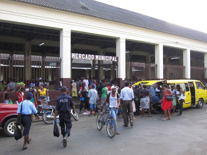
Saotome GeoGuessr guide image showing Market Sao Tome Africa

The highest peak is about 950m, and the mountainous southern half is a nature reserve with few residents.

Wikimedia Commons photo showing Príncipe Island Biosphere Reserve Praia Caixão Mangorve

By Antoniodabreu - Own work, CC BY-SA 4.0, Link

geoguessr(ジオゲッサー)のプレイログを記録したページです。
  1. Home
  2. Country & Region Guide
  3. Africa
  4. São Tomé and Príncipe