 Senegal
Easily confused with:Namibia, Kenya, NigeriaQuizzes for this area:Senegal State Quiz, Senegal City Quiz
Whole area10
Clues that work anywhere in this area


Language & Script★★★
French and Wolof are both spoken.


Plants & farming★★
Baobab trees are found in the savanna areas.
Watch outBaobabs also show up in other savanna areas, such as Botswana and Madagascar.
Examples12See alsoBotswanaMadagascar

Landscape★
Burn marks are common along the roadside. Roasting and eating peanuts is popular here, though it's unclear whether these particular marks come from that.
Narrowing down the region5
Once you know the area: which part of it
Climate
Landscape★★★
Climate differs between north and south — the south is tropical, while the north is dry.
Photo coming soonLandscape
Plants & farming★★★
Palm oil production seems to be concentrated only in the south. That said, the trees themselves seem to grow occasionally even in places like Dakar.
Examples1
Photo coming soonPlants & farming
Agriculture
Where Agriculture clues apply3
Click an item to jump to its clueTap to show the range; tap again or → to jump to the clue
Plants & farming★★★★★
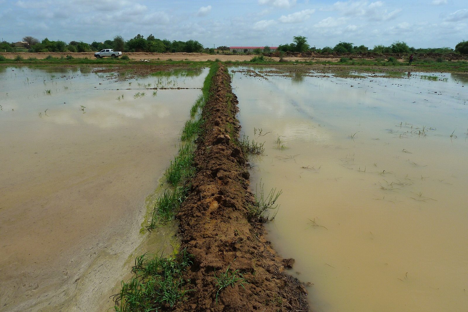
If dry, near-desert land nonetheless has square-cut rice paddies and straight concrete irrigation canals running on endlessly, that's the Senegal River Valley (north). Only a narrow strip along the river turns green.
NoteRice is also grown in Casamance in the south, but there it's rainfed, in small, muddy plots. Visible canals and machinery point north.
Plants & farming★★★★
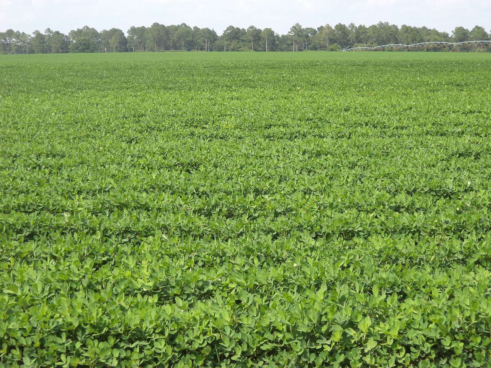
A sandy plain covered edge to edge in low, grass-like plants, with cone-shaped piles of uprooted plants dotting the fields after harvest, means groundnuts. It corresponds to the "peanut basin" (bassin arachidier) of the west-central part of the country.
SourcesAAgWa Crop Production Forecasts No.53 Senegal - Groundnut - AKADEMIYA2063 (production by region)
Plants & farming★★★★
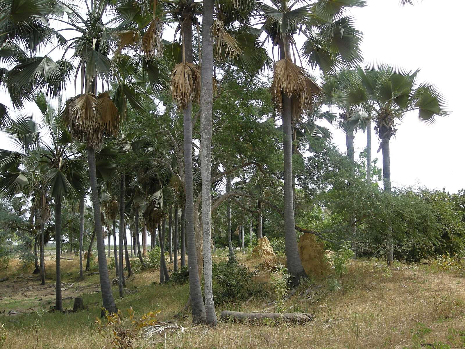
Tall trees growing densely with branches touching over the road, with small, irregularly shaped paddies tucked in between, mean Casamance (the south). It gets more rain than the rest of the country and stays green even in the dry season.
No clues for this category and place yet.
Regions
Hover a region on the map to see its nameHover a region on the map to see its name
Nearby areas
A page of play notes and identification clues for GeoGuessr.