Africa

Madeira Islands

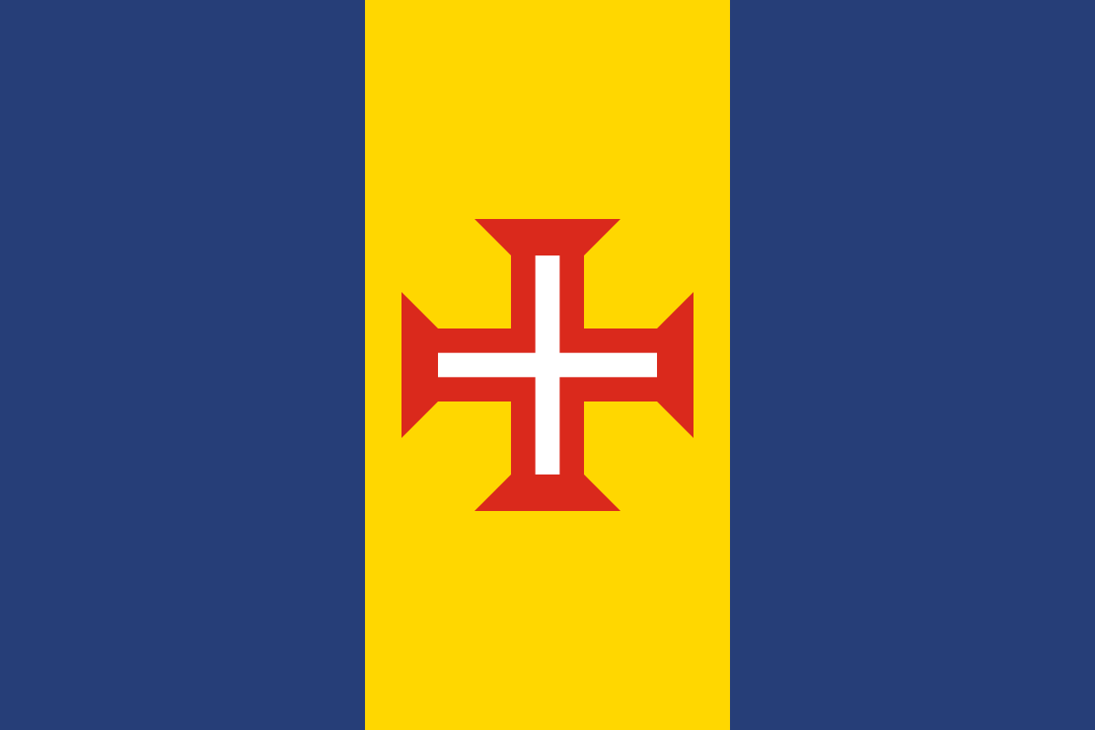
national flag of Madeira Islands
Key locations
  • フンシャル マデイラ諸島の州都・最大都市
  • マシコ 歴史ある港町・最初の入植地
  • サン・ヴィセンテ 北岸の町・火山洞窟で有名
  • ポルト・モニス 天然海水プールで知られる北西部の町
  • ピコ・ルイヴォ マデイラ最高峰(1,862m)
  • ポルト・サント島 黄金の砂浜で有名な姉妹島

How to Distinguish

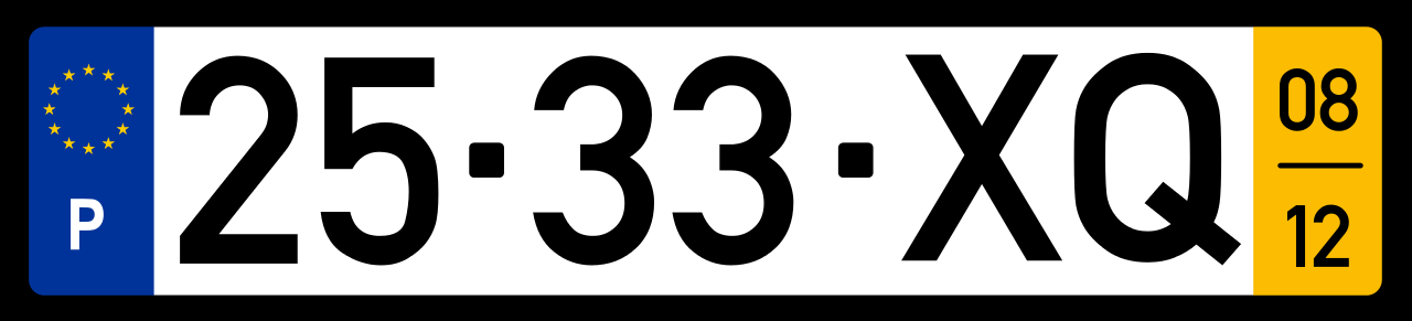
  • An island territory of Portugal, sharing license plates, road signs, and utility poles with the mainland.
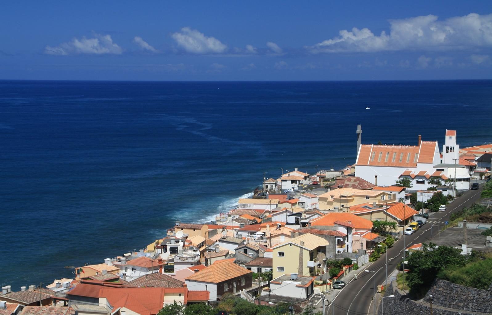
  • The coastline of the islands is dominated by rocky sea cliffs.
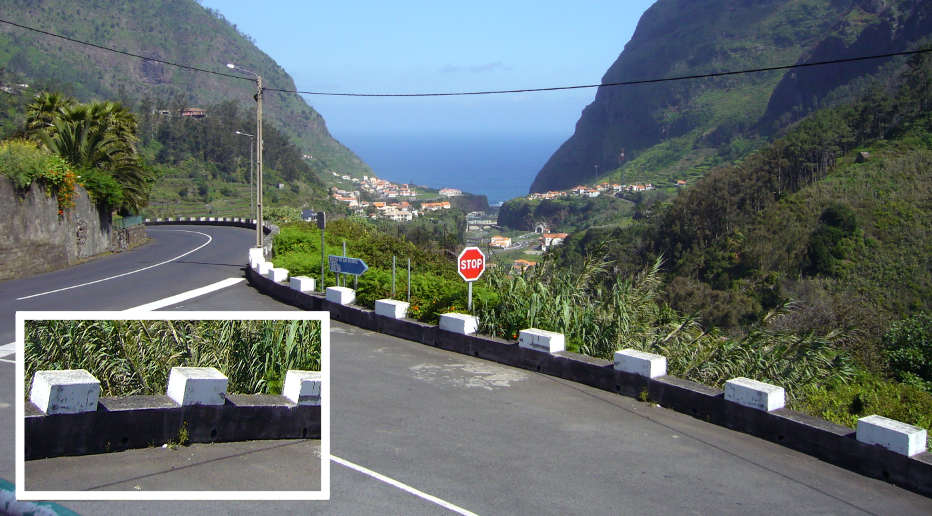
  • Concrete railings and bollards with a distinctive design are common.
  • Area code: 291
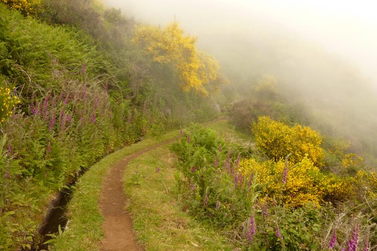
  • Fog often occurs due to moist air and trade winds meeting over the ocean.
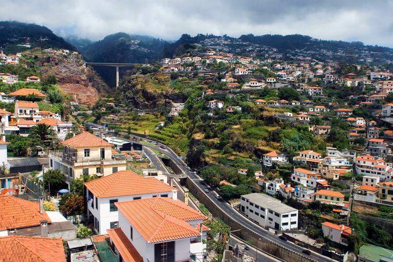
  • The terrain is more rugged than that of the Azores.

As a territory of Portugal, the license plates, road signs, and utility poles are identical to those on the mainland .

Bridges and roadside barriers are often made of concrete with white blocks on top .

Madeira Islands GeoGuessr guide image showing Road

Distinctive concrete bollards are present . Fog is common, obscuring visibility . Occasionally, different types of bollards can also be seen .

Image from live.staticflickr.com showing 30038310505 d10196963c Z

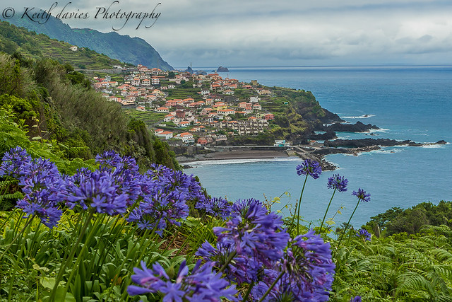
Flowers in shades of purple and white are commonly found .

Image from live.staticflickr.com showing 43735686211 3bf78d82b8 Z

As seen in various photos, the island features rugged hills and valleys formed by erosion and weathering, creating a non-flat terrain (References Madeira Islands).

Madeira Islands GeoGuessr guide image showing Madeira Funchal Panorama 647920

Reference Pages

geoguessr(ジオゲッサー)のプレイログを記録したページです。
  1. Home
  2. Country & Region Guide
  3. Africa
  4. Madeira Islands