
 Brazil
Easily confused with:Columbia, northern argentina, Cambodia, Indonesia, ThailandQuizzes for this area:Brazil State Quiz, Brazil City Quiz, Area code quiz (Brazil)
Whole area9
Clues that work anywhere in this area
Signs
The backs of signs are often black.

Building
House antennas are distinctive — a clear, transparent satellite dish is used. This alone isn't conclusive, though.
Examples1

License Plate
Trucks, buses, and taxis often have red license plates, or plates with red lettering.


Building
A tank labeled "Fortlev" sits on the roof. It comes in a few colors, but its shape is distinctive.
Examples1SourcesSoluções Fortlev Caixa d'Água Pequenos Volumes


Narrowing down the region21
Once you know the area: which part of it
Area Code
Phone area codes narrow down the region
Phone area codes are assigned by region. When a number shows up on a sign, an advert or a van, its leading digits narrow the location down to a part of the country.
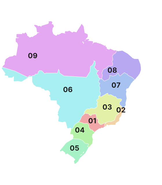 Coloured by leading digit
Road
Roadside signs display road numbers like "BR XX".

Vegetation
Where Vegetation clues apply12
Click an item to jump to its clueTap to show the range; tap again or → to jump to the clue
Plants & farming
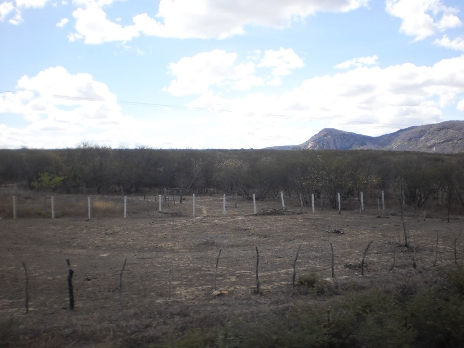
The semi-arid caatinga spreads across the inland northeast. Thorny shrubs, cacti, and drought-hardy grasses cover the ground, and in the dry season the trees shed their leaves, leaving a yellowish-gray wasteland look. It spans the northeastern states such as Piauí and Ceará, and northern Minas Gerais.
Watch outAfter the rainy season, the whole landscape turns green within days. Even when green, you can tell it's caatinga by the thorny, low shape of the trees and how the ground dries out.
Examples12SourcesCaatinga - Wikipedia (extent, area, vegetation)
Plants & farming
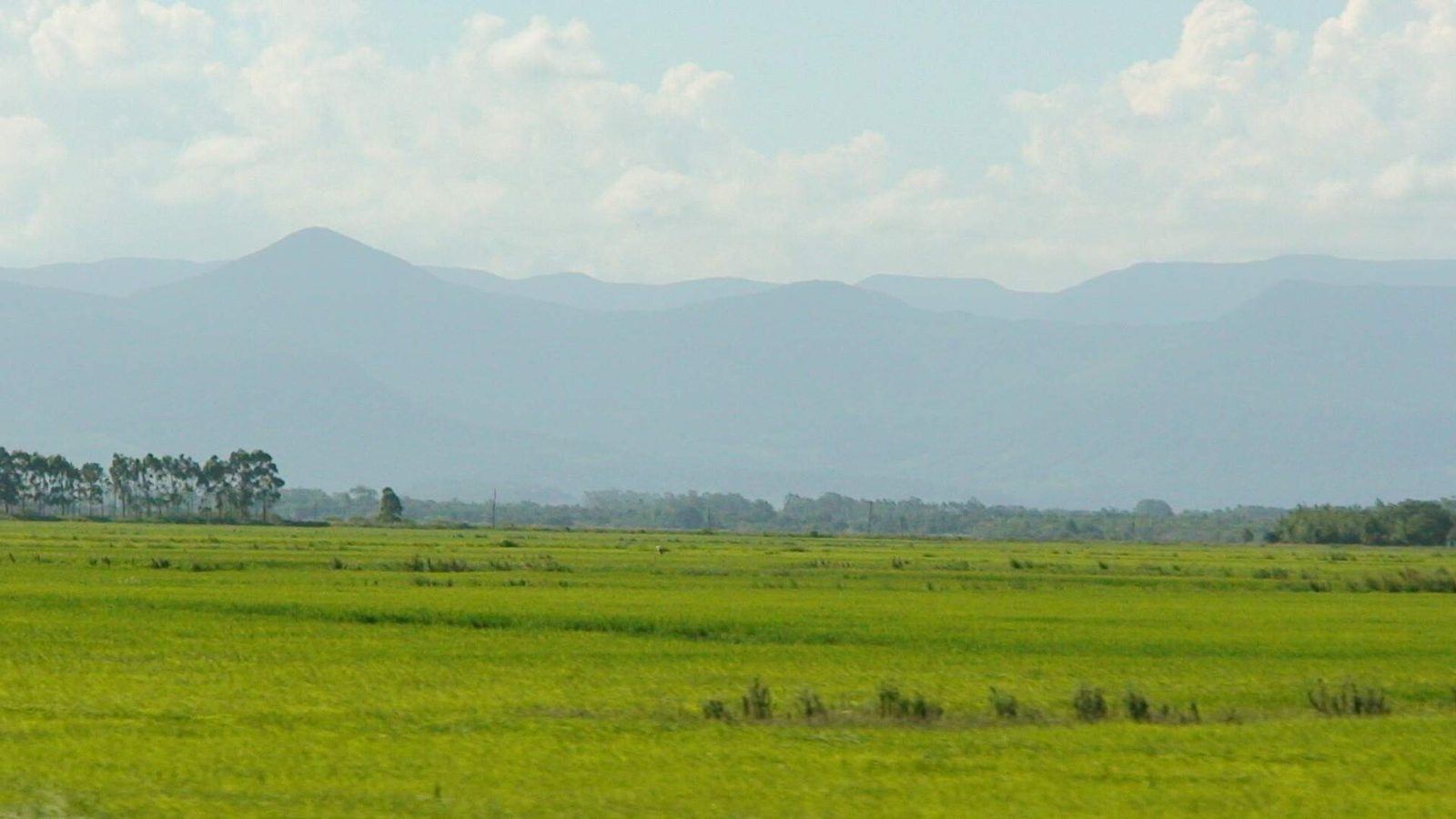
Brazil's pampa is confined to the southern half of Rio Grande do Sul. Nearly treeless grassland stretches on and on, rolling in gentle hills called coxilhas. Much of it is grazing land for cattle and sheep.
Watch outIt's indistinguishable from Uruguay across the border, so rely on man-made cues — utility poles, signs, license plates — to tell them apart.
Plants & farming
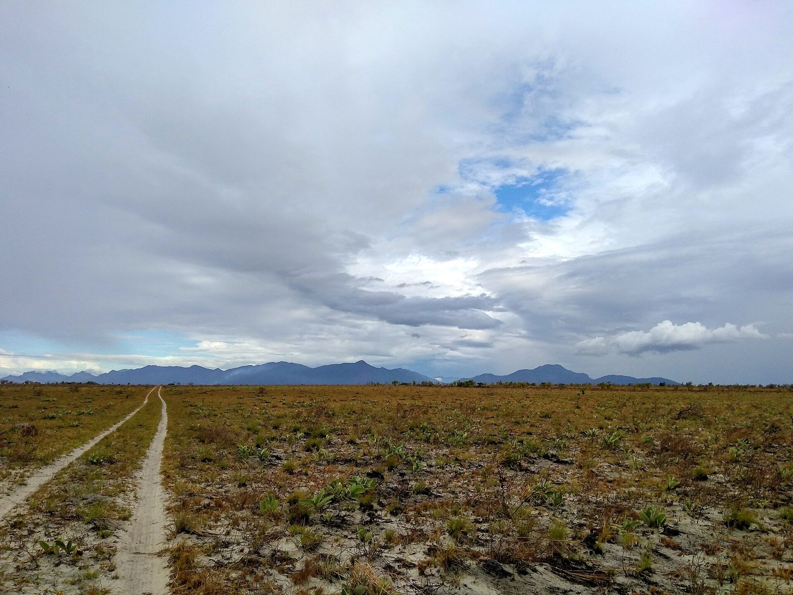
In the Branco River basin of Roraima, a patch of grassland (the lavrado) opens up unexpectedly inside the Amazon. Sparse shrub grassland stretches on, with forest limited to bands along rivers and streams. Mountains are often visible in the distance.
Examples12SourcesBarbosa, R. I., and Campos, C., "Detection and geographical distribution of clearing areas in the savannas ('lavrado') of Roraima", Journal of Geography and Regional Planning 4.8 (2011)
Plants & farming
The Mata Atlântica is shaped by moist winds off the ocean, giving its forest a different look from other regions. You may spot things that resemble palms or pines.
Plants & farming
Spot a Paraná pine (Araucaria angustifolia) and think Paraná and its surroundings.
Examples1SourcesAraucaria angustifolia

Plants & farming
Spot a carnauba palm and think the northeast, centered on Ceará.

Plants & farming
Babassu palms are common in Piauí and Maranhão states, and also turn up across the whole southern part of the country.

Plants & farming
Syagrus coronata is a tree of eastern Brazil, distributed from southern Pernambuco through Bahia. It may be more common in Bahia.

Plants & farming
The açaí palm (açaizeiro) is common in Pará, especially around the Amazon River basin and Marajó Island.

Plants & farming
Eucalyptus grandis grows in scattered stands, mostly near the coast from São Paulo down to Rio Grande do Sul.

Plants & farming
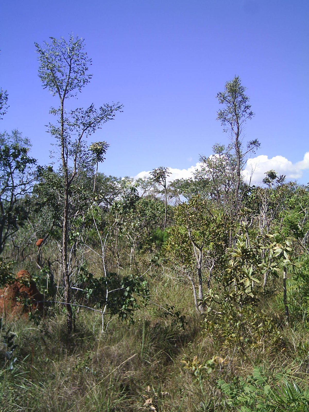
The Cerrado savanna spreads across the central region. Low trees with twisted trunks and thick, corky bark stand scattered across grassland about waist-high. The soil is reddish. It is widespread across the central states such as Goiás.
Examples12SourcesCerrado - Wikipedia (extent, area, vegetation, soil)
Plants & farming
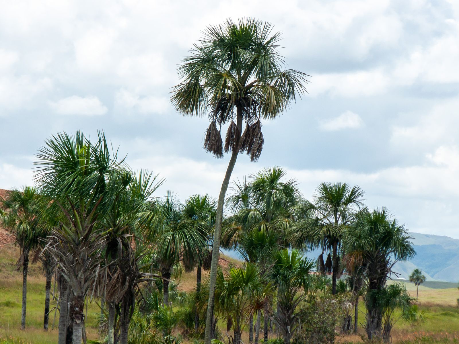
The buriti palm (Mauritia flexuosa) is a large palm reaching 35m tall, its thick trunk topped by large leaves forming a round crown. It grows in damp lowlands, so within the Cerrado it lines up in rows along stream courses.
Examples12SourcesMauritia flexuosa - Wikipedia (form and habitat)
Terrain
Where Terrain clues apply2
Click an item to jump to its clueTap to show the range; tap again or → to jump to the clue
Landscape
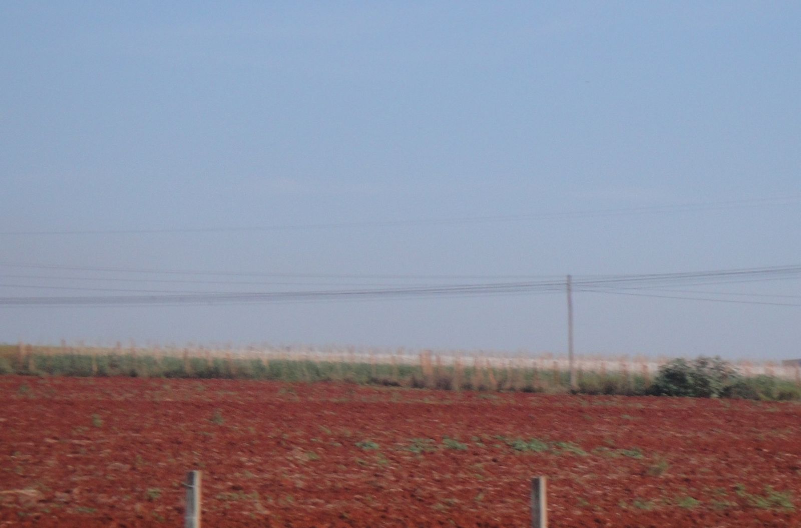
The vivid red soil known as "terra roxa" forms from weathered basalt. It's found in northern Rio Grande do Sul, Santa Catarina, western Paraná and São Paulo, and elsewhere.
Landscape
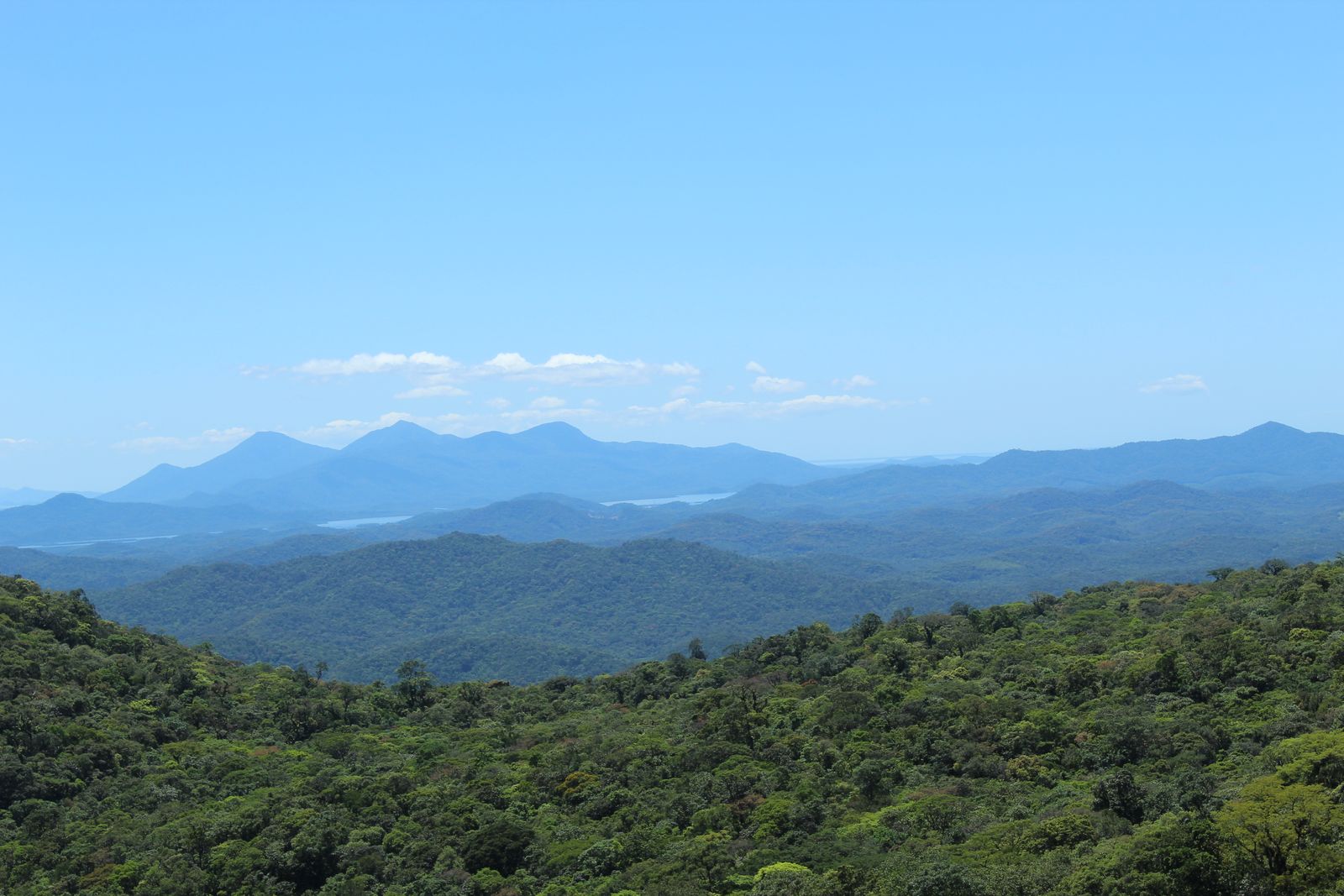
Along the southeastern coastline, a steep, cliff-like range called the Serra do Mar runs parallel to the sea. It rises abruptly just inland of a narrow coastal strip.
Agriculture
Where Agriculture clues apply5
Click an item to jump to its clueTap to show the range; tap again or → to jump to the clue
Plants & farming
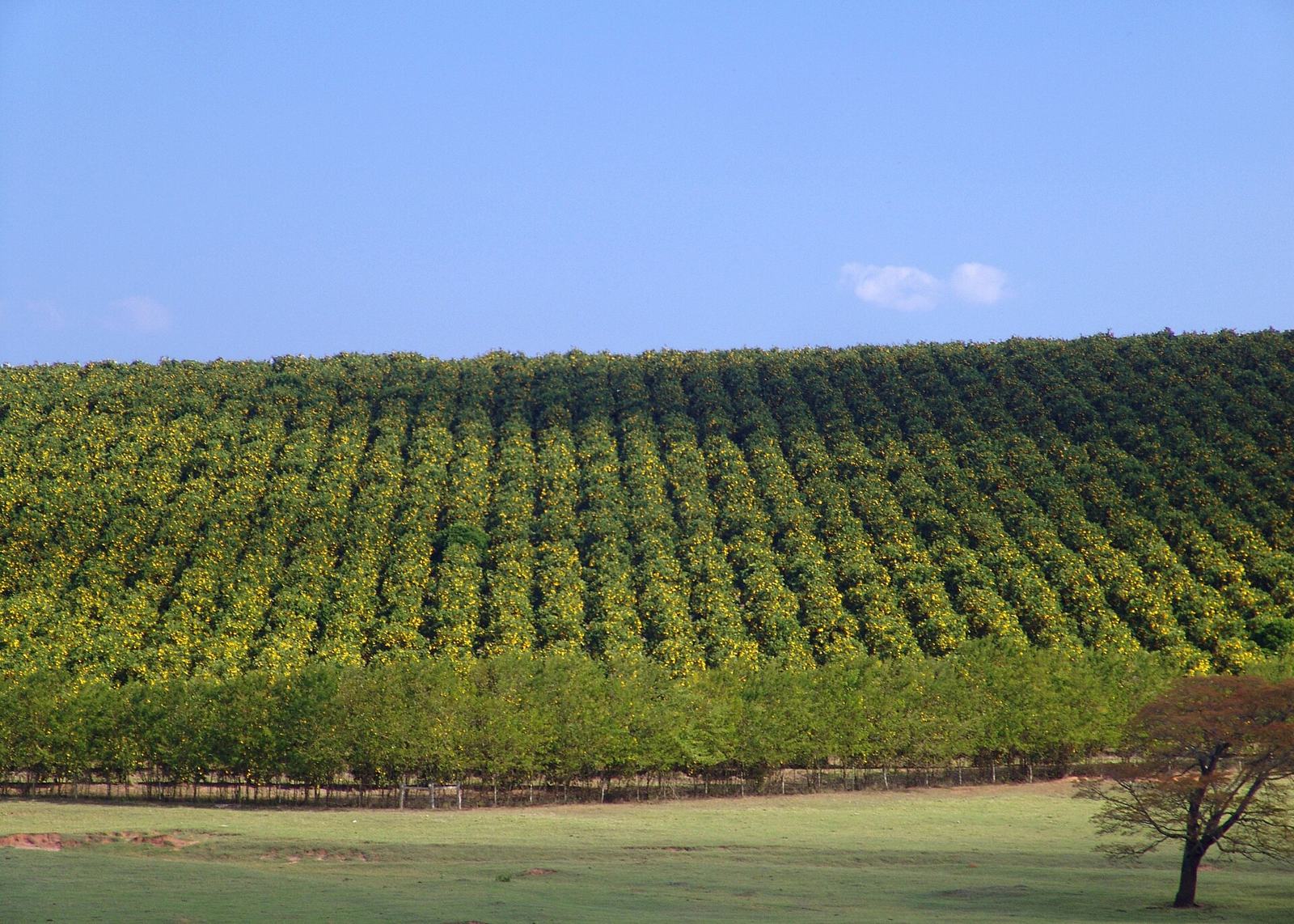
Orange groves — orchards of low trees planted at even spacing — are concentrated in what's called the "citrus belt", centred on São Paulo.
Plants & farming
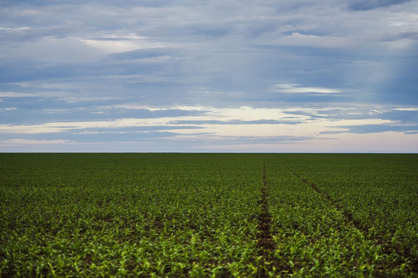
Soybean fields stretching to the horizon. Mato Grosso dominates with about 29% of national production, followed by Paraná, Goiás, and others.
SourcesDados econômicos - Embrapa Soja (acreage and production by state)Brazil Oilseeds and Products Annual (BR2026-0014) - USDA Foreign Agricultural Service (MATOPIBA's expansion)
Plants & farming
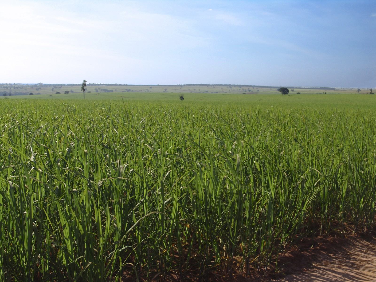
Sugar cane fields are concentrated in São Paulo, which accounts for about 52% of national production. Goiás and Minas Gerais follow, and there are growing regions in the northeast too.
Examples12SourcesBrazil Sugar Annual (BR2026-0020) - USDA Foreign Agricultural Service (production by state and by region)
Plants & farming
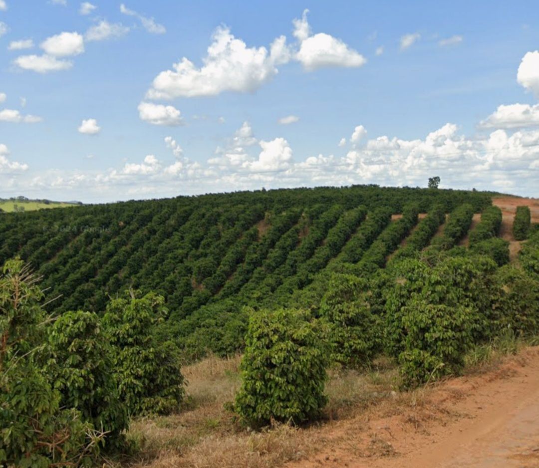
A coffee plantation with low trees planted neatly along the contour lines. Arabica is centred on Minas Gerais, while robusta (locally "conilon") is centred on Espírito Santo.
Examples1SourcesBrazil Coffee Annual (BR2026-0025) - USDA Foreign Agricultural Service (arabica/robusta share by state)
Plants & farming
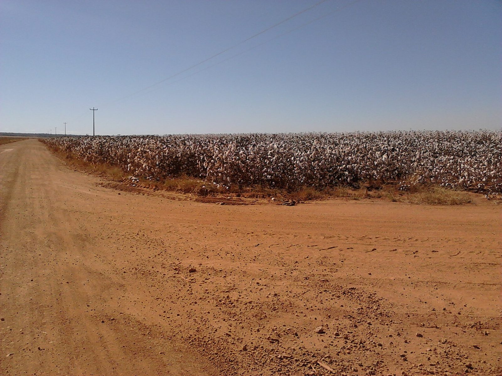
Cotton fields are sharply concentrated: Mato Grosso accounts for about 70% of national production, Bahia about 21%.
SourcesBrazil Cotton and Products Annual (BR2026-0019) - USDA Foreign Agricultural Service (share by state)
Florianópolis
Building
Around Florianópolis, you'll see European-style architecture. Many Portuguese settlers from the Azores came here during its founding, along with plenty of German and Italian immigrants.

Narrowing down the city2
Once you know the region: which city or town
Vila do Abraão

Fernando de Noronha

No clues for this category and place yet.
Regions
Hover a region on the map to see its nameHover a region on the map to see its name
Basics
General facts about this placeCompanies
Companies with ties to this region. However, this does not necessarily mean they can be used on GeoGuessr.Logos you may spot


- Petroleo Brasileiro
The largest oil drilling company in the southern hemisphere.
- Vale
One of the three major iron ore producers.It also produces bauxite, copper, and gold.
- Itaú Unibanco Holding
Largest bank in Latin America.This is a rare company that pays a dividend every month (usually quarterly, but in South Africa and other countries semi-annually).
Official site (IR)The world's 100 largest banks in the S&P Global Market Intelligence report
Nearby areas
A page of play notes and identification clues for GeoGuessr.