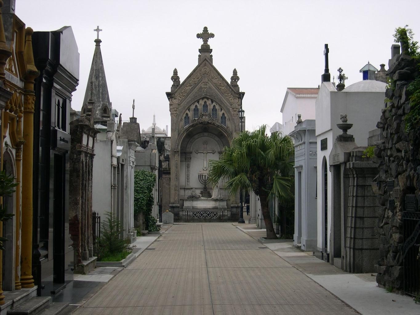

 Argentina
Easily confused with:Uruguay, Chile, Brazil, PeruQuizzes for this area:Argentina State Quiz, Argentina City Quiz, Area code quiz (Argentina)
Whole area7
Clues that work anywhere in this area
License Plate★★★
License plates turn dark in the middle when blurred.
Watch outCoverage captured from 2016 onward may not use the black-centered plate. Countries that belong to Mercosur (the Southern Common Market) share a common blue license plate design.123
Examples123SourcesMinistry of Foreign Affairs of Japan - Mercosur
Open in Street View1


Signs★★★
The street name sign here has a look you'd expect from Argentina or Uruguay. A sign like this is rarely found outside South America at all.
See alsoUruguay


Utility Pole★★★
Utility poles with holes, and occasionally ones resembling Australian poles, are also found. Due to Street View's terms of use, a photo can't be included here, so please click "View on Street View."
Examples1

Narrowing down the region17
Once you know the area: which part of it
Area Code
Phone area codes narrow down the region
Phone area codes are assigned by region. When a number shows up on a sign, an advert or a van, its leading digits narrow the location down to a part of the country.
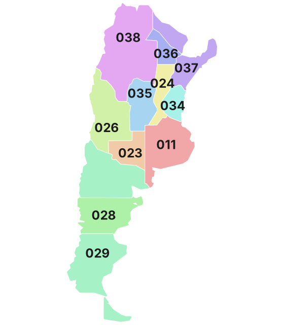 Coloured by leading digit
Difficult place★★★
Argentina's northeasternmost and northwesternmost corners look like Brazil.
Photo coming soonDifficult place
Vegetation
Where Vegetation clues apply7
Click an item to jump to its clueTap to show the range; tap again or → to jump to the clue
Plants & farming★★★★★
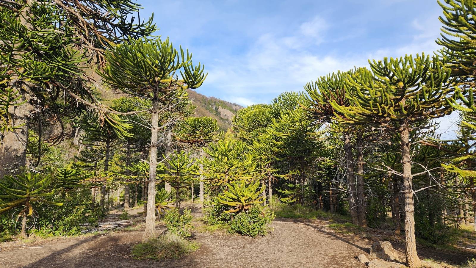
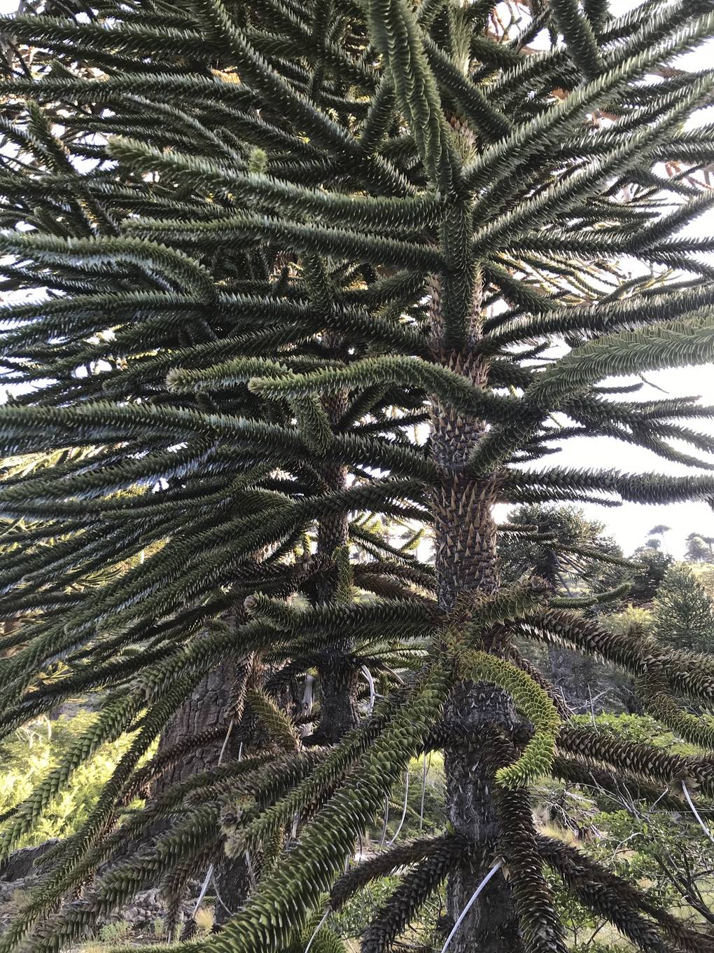
A distinctive tree with branches spreading like an umbrella, covered all the way to the trunk in stiff, triangular leaves, is a monkey puzzle tree (Araucaria araucana). On the Argentine side it is almost entirely confined to western Neuquén province.
Plants & farming★★★★
A northern lowland of thorny shrubs and medium-height dry forest, with sandy-looking ground, is the Gran Chaco. It spans northern provinces such as Chaco and Formosa.
Examples12SourcesGran Chaco - Wikipedia (extent, climate, vegetation)
- Chaco plain
- Dry Chaco (west)
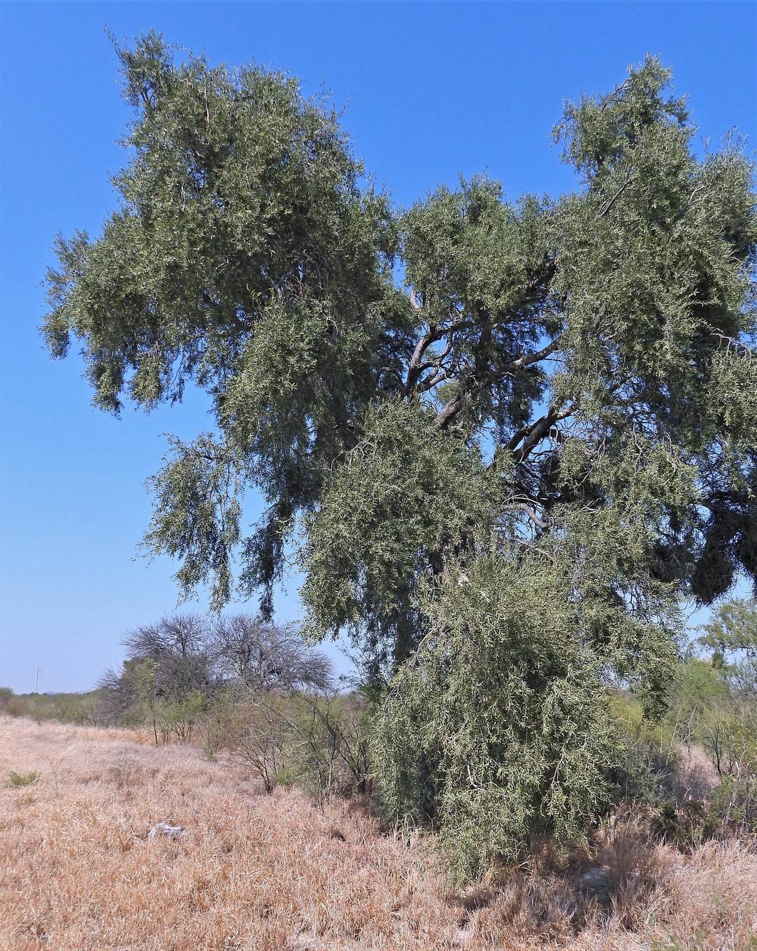
Plants & farming★★★★
A plain scattered only with low, gray-green shrubs and tussock grass, with not a single tree, is the Patagonian steppe. Strong winds blow constantly from the west.
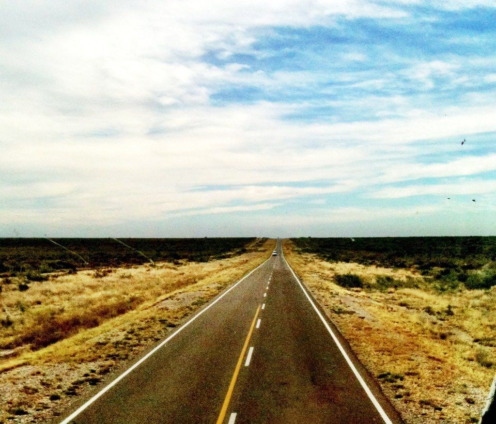
Plants & farming★★★★
If you're driving through the dry north and suddenly encounter dense green forest and fog, that's the Yungas (cloud forest) on the eastern slope of the Andes.
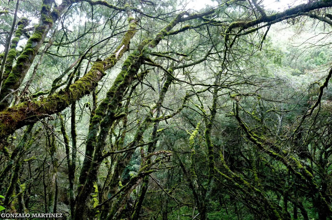
Plants & farming★★★★
If a dry highland has thick columnar cacti (cardón) standing 1.5-10m tall and sparsely scattered, that's a high-elevation area of the northwest.
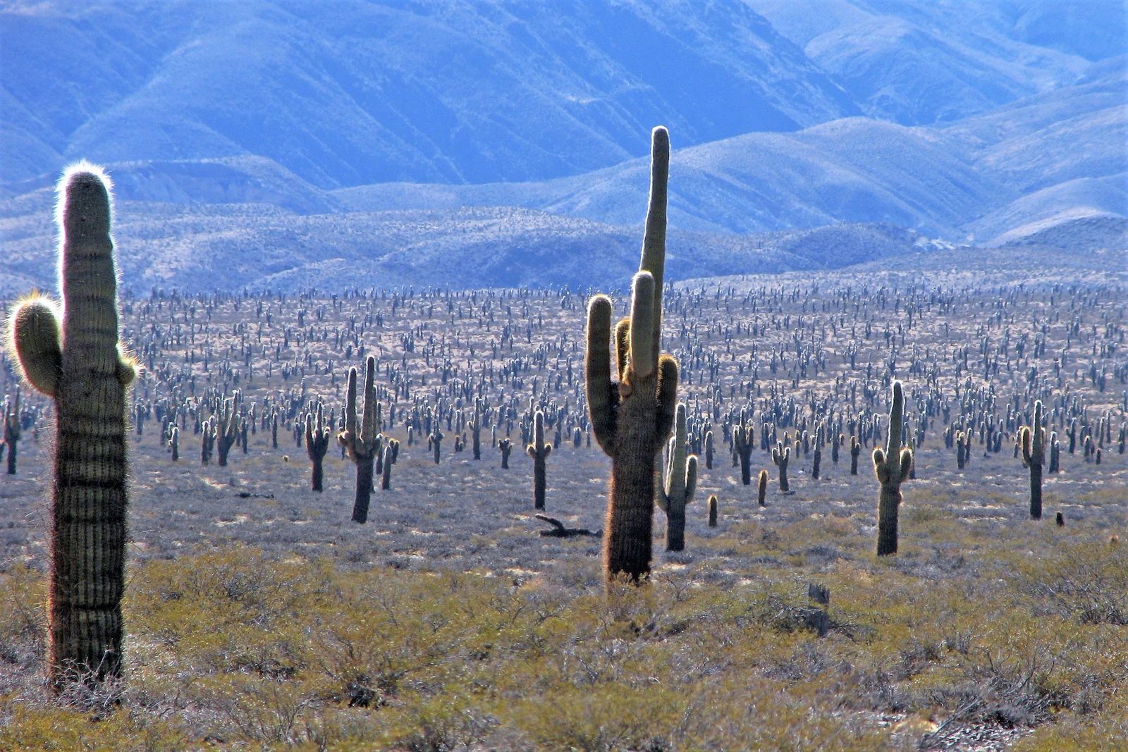
Plants & farming★★★
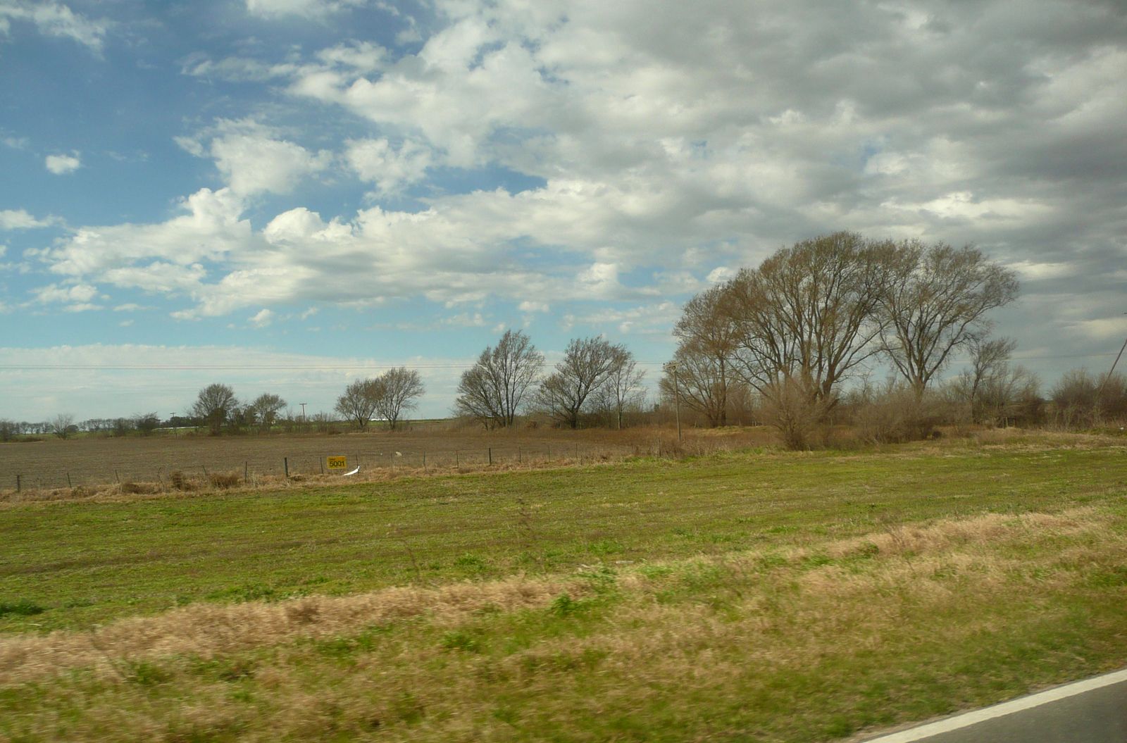
A stretch of flat grassland and fields extending to the horizon, with almost no hills or forest, is the Pampas. It spans five provinces, including Buenos Aires.
Examples12SourcesPampas - Wikipedia (extent and terrain)
- Pampas
- Entre Ríos (rolling grassland and woodland)
Plants & farming★★★
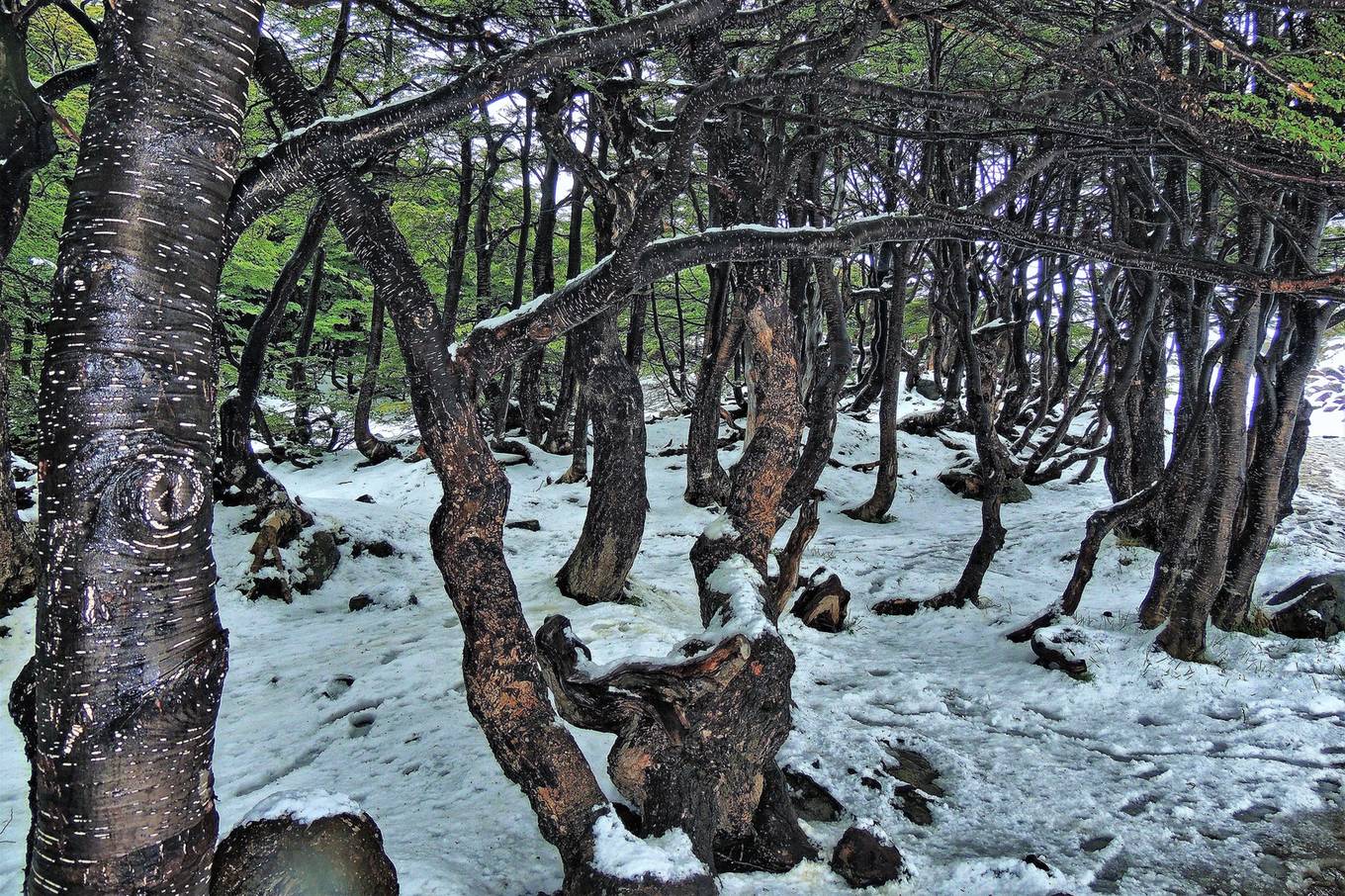
A solid stand of deciduous trees with small, jagged leaves is southern lenga (Nothofagus pumilio). It's found in the south. In autumn its leaves turn yellow to red.
- Along the Andes
- Southern Tierra del Fuego
Agriculture
Where Agriculture clues apply7
Click an item to jump to its clueTap to show the range; tap again or → to jump to the clue
Plants & farming★★★★★
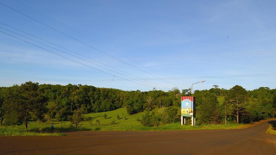
Rows of low evergreen shrubs on red soil are a yerba mate field, the raw material for mate tea. It's grown almost entirely in Misiones province, so combined with red soil, you can be confident in this one!
Examples12SourcesYerba mate - Wikipedia (production and growing area)
Plants & farming★★★★★
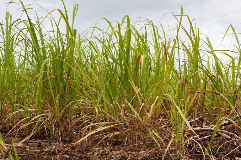
If sugarcane fields and lemon orchards spread across a lowland backed by mountains to the west, that's Tucumán province.
Examples12SourcesTucumán Province - Wikipedia (agriculture and terrain)
Plants & farming★★★★
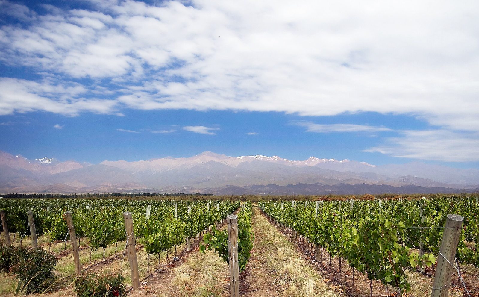
If canals run across dry land, with trellised vineyards and snow-capped mountains to the west visible at the same time, that's Mendoza province.
Plants & farming★★★★
If tall, thin trees stand packed in a single row, looking like a hedge squaring off a field, that's a windbreak (cortina rompevientos). Fields in Mendoza are exposed to a dry, strong wind called the "Zonda", so trees are planted in rows along field boundaries.
NoteThe same style of windbreak is also used in the northern Patagonian valleys of Río Negro and Neuquén provinces (apple and pear growing areas).
Examples1SourcesProtección de viñedos contra el viento Zonda - evaluación de cortavientos forestales. Mendoza, Argentina (Investigaciones Geográficas)

Plants & farming★★★
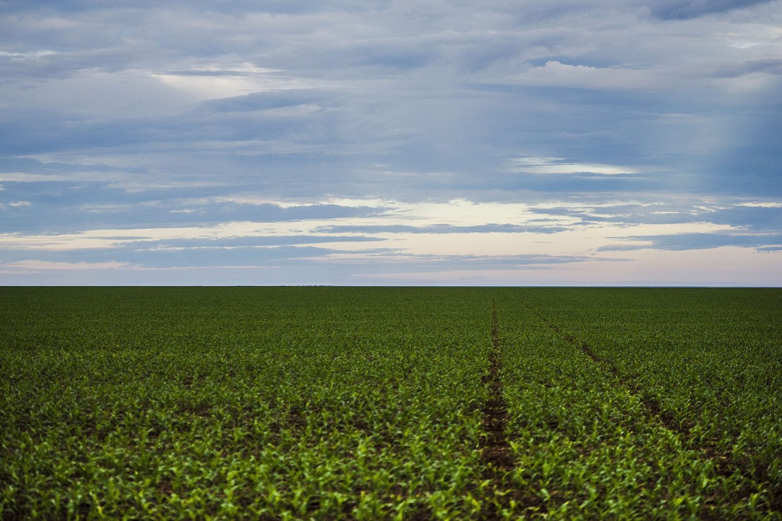
A low crop about knee-high, with lush round leaves, stretching to the horizon, is a soybean field. Main growing areas include Buenos Aires province. In summer (December-March) the fields are deep green; by April-May, before harvest, they turn a withered brown.
Plants & farming★★★
A continuing field of corn taller than a person most likely means Córdoba or Buenos Aires province.

Plants & farming★★★
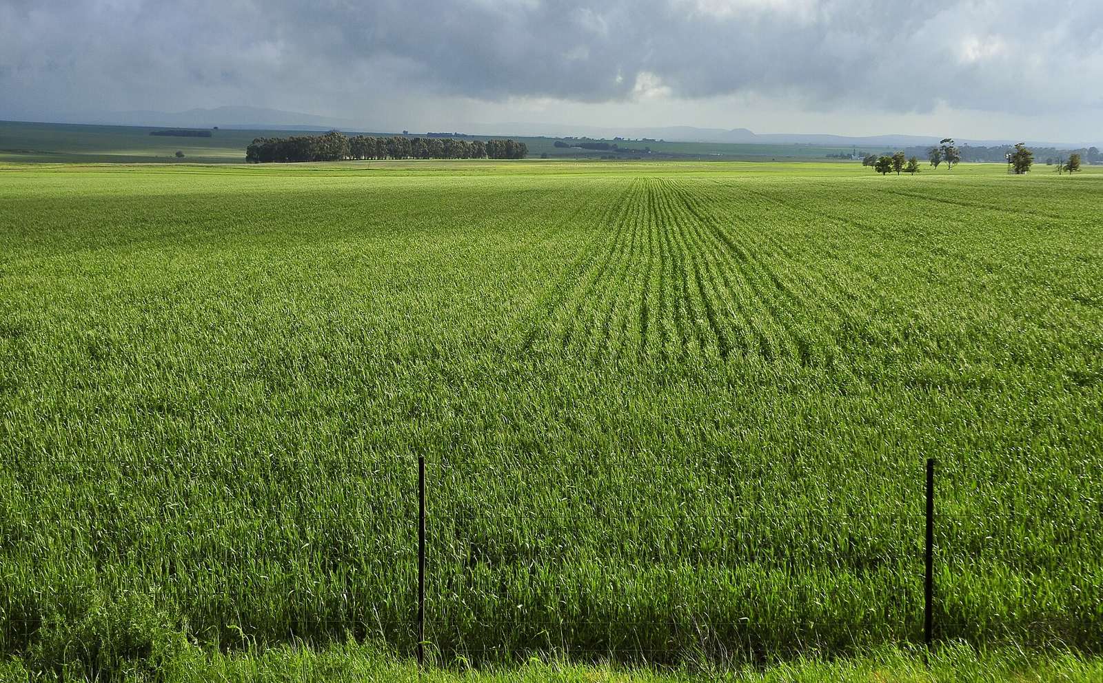
A field that turns solid low green from winter through spring (June-November), then golden around December, is wheat. It's common in Buenos Aires province, and rarely seen in the northern Chaco or the dry west.
Industry & Resources
Landscape★★★★
If dry shrub steppe has straight gravel roads and drilling rigs and tanks scattered here and there, that's Neuquén province's Vaca Muerta.
Examples12SourcesVaca Muerta - Wikipedia (extent, production, scale)
Photo coming soonLandscape
Córdoba Province

Narrowing down the city2
Once you know the region: which city or town
Other★★★★★
At the very southern tip of Argentina is a library called Biblioteca Península Haush.
Examples12SourcesInaugurarán la Biblioteca Haush en Puerto Español
Photo coming soonOther
Autonomous City of Buenos Aires
Vehicle★★★
In Buenos Aires, navy-and-yellow taxis run around marked "GCBA" (Gobierno de la Ciudad de Buenos Aires — the Buenos Aires city government?).

No clues for this category and place yet.
Regions
Hover a region on the map to see its nameHover a region on the map to see its name
Basics
General facts about this placeCompanies
Companies with ties to this region. However, this does not necessarily mean they can be used on GeoGuessr.Logos you may spot


- Yacimientos Petroliferos Fiscales (YPF)
Argentina's national oil company.
- Loma Negra
Argentina's largest cement and concrete manufacturer.
- Grupo Financiero Galicia
Argentina's largest private commercial bank.It is probably the fifth largest bank in Japan.
Nearby areas
A page of play notes and identification clues for GeoGuessr.