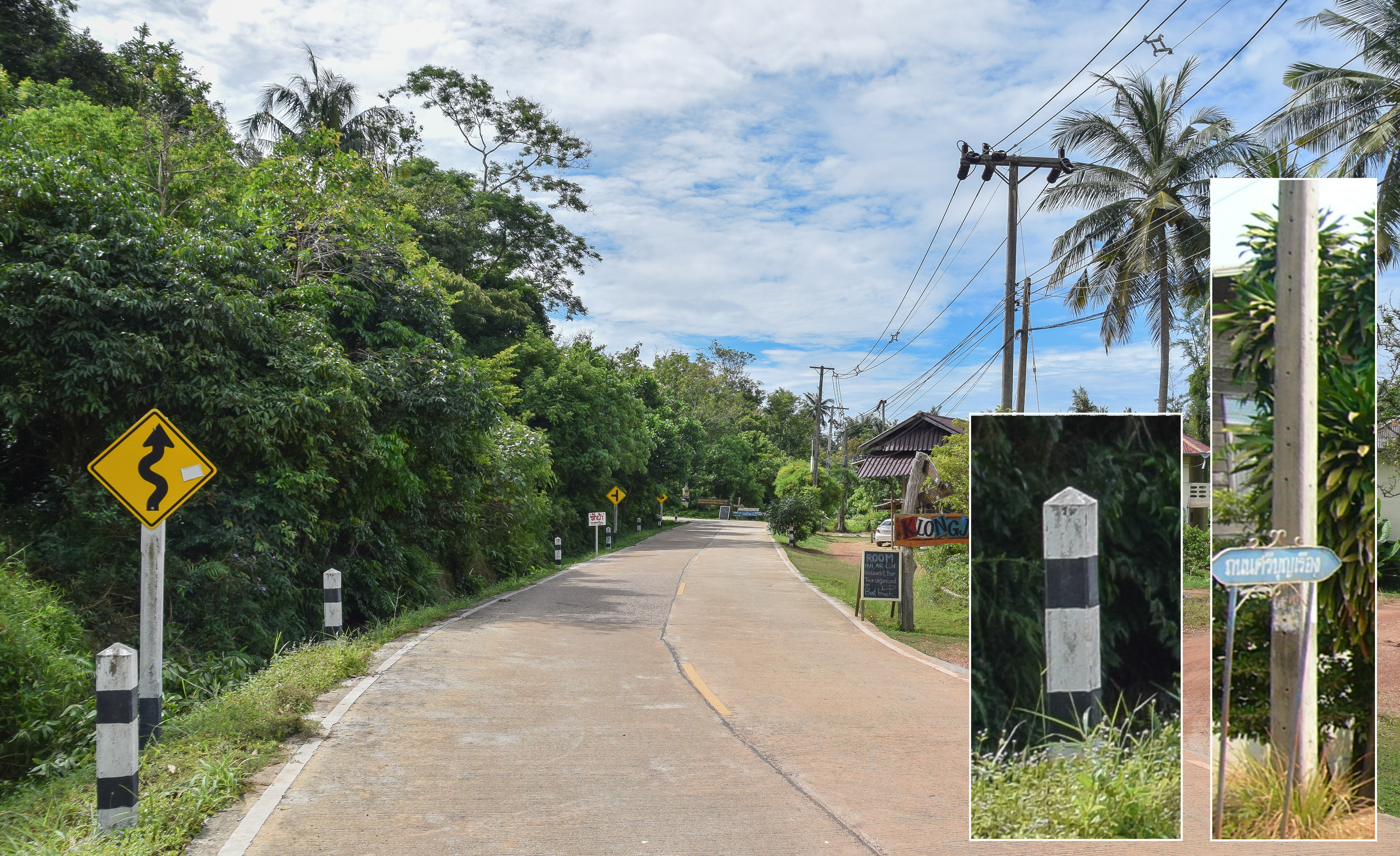
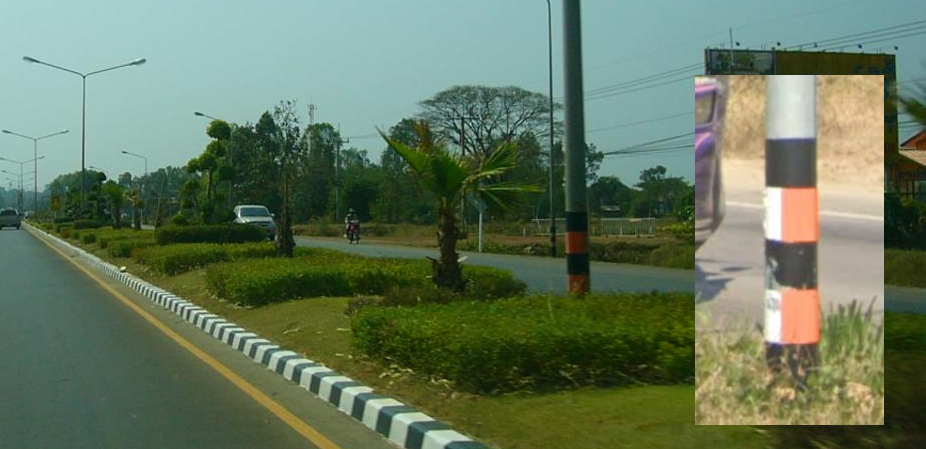
Utility poles are also angular, but this alone shouldn't be taken as confirming Thailand.
Watch outAngular utility poles are also found in Sri Lanka and the Philippines. If license plates are yellow, the pole coils are large, and poles with holes are present, think Sri Lanka. If license plates are greenish and unusually shaped vehicles are around, consider the Philippines.
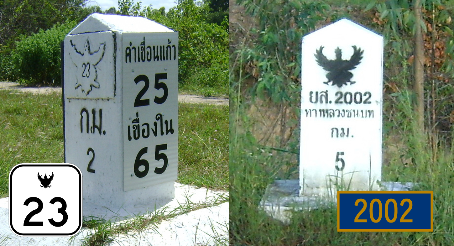
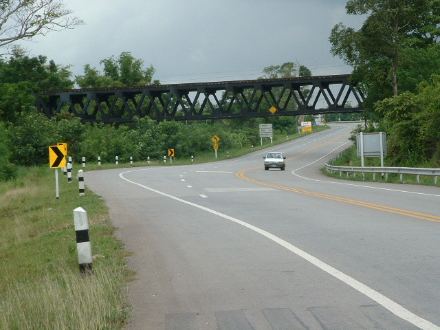
White bollards with a route number written on them can help narrow down the location. If the symbol at the top is filled in black, it's a provincial road, so look for a road marked in navy blue on the map.
In Asia, several countries use an orange centerline, Thailand chief among them, along with Cambodia, the Philippines, and Taiwan. This can help when the region is otherwise unclear.
Watch outOrange lines are occasionally found in Indonesia too, albeit rarely, so an orange line alone shouldn't be taken as confirming Thailand.
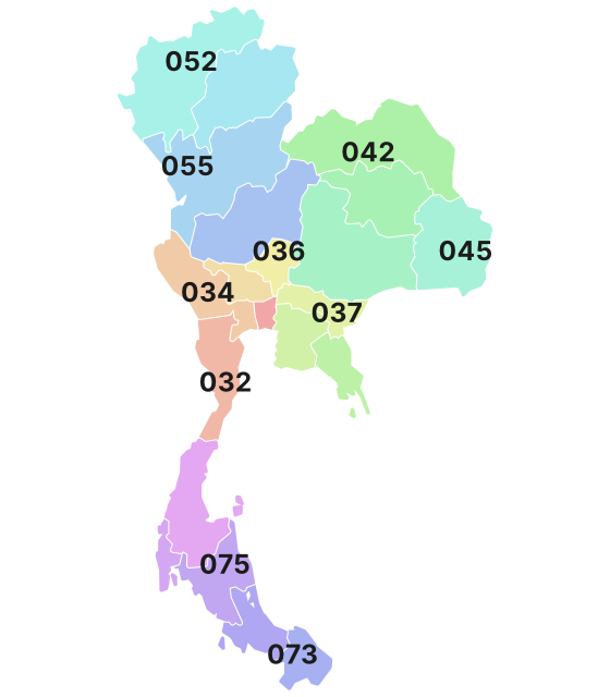
Phone area codes are assigned by region. When a number shows up on a sign, an advert or a van, its leading digits narrow the location down to a part of the country.
If tall evergreen fruit trees are densely planted, with spiky fruit hanging from the trunk and thick branches, that's a durian orchard. Chanthaburi province in the east and Chumphon province in the south together account for more than half of domestic production.
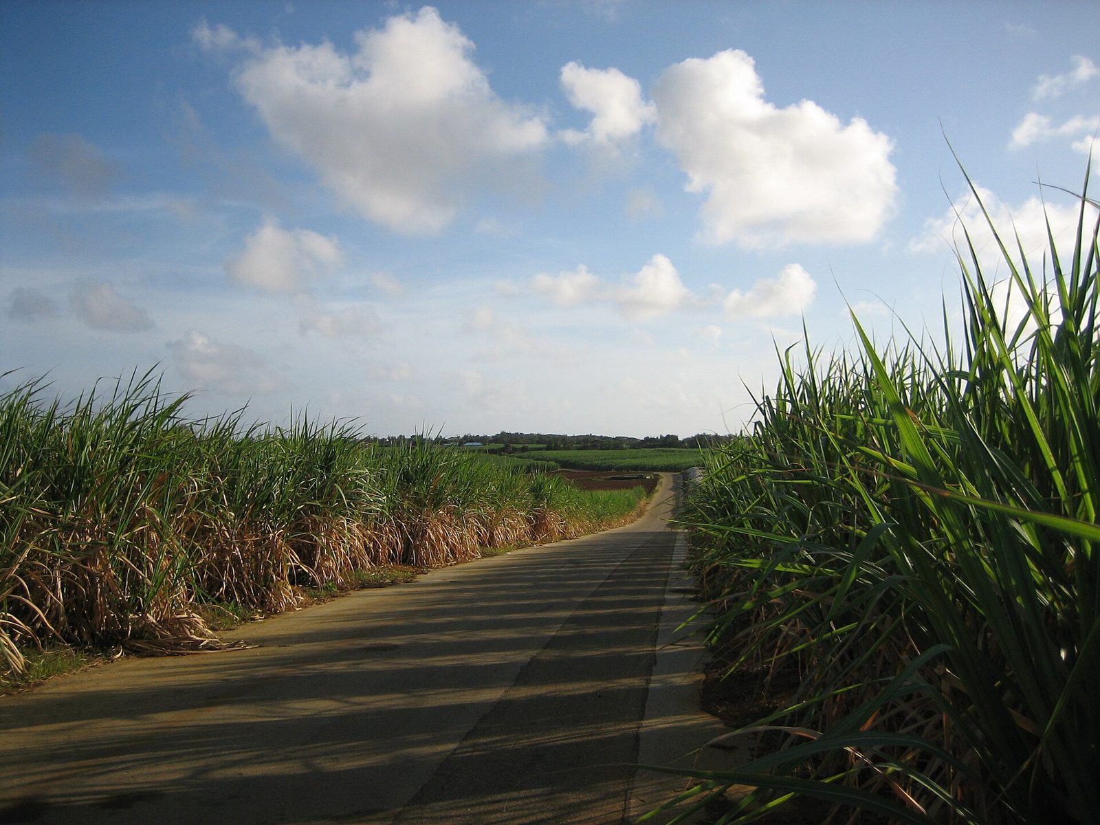
A field packed tightly with rows of narrow-leaved grass taller than a person is sugarcane. It's common in the northeast, and in the plains from the northwestern part of the central plain (Kamphaeng Phet, Nakhon Sawan) west to Kanchanaburi.
Tall sugarcane lining both sides of a road (photo from Minami-Daito Island, Japan)Eujensc / Public domain
Plants & farming★★★★
A field of low, knee-high plants with palm-shaped, deeply lobed leaves is cassava. The leaf shape makes it easy to recognise. Placing it in Nakhon Ratchasima in the northeast is the safe bet.
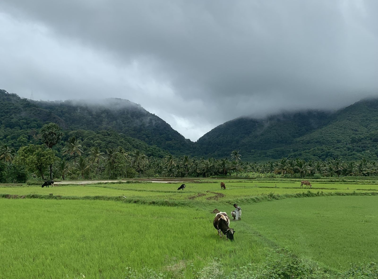
Lush green rice paddies (photo from Tamil Nadu, India)Planemad / CC0
Plants & farming★★★
If tall coconut palms line up in a plantation stretching as far as you can see, think of Prachuap Khiri Khan province at the base of the Malay Peninsula, or Chumphon province in the south.
If a palm with a straight trunk topped by round, fan-shaped leaves (the palmyra palm, "tan" in Thai) dots the rice-paddy banks and roadsides, think of Phetchaburi province in the central region, or the Sathing Phra peninsula in Songkhla province in the south.
A palmyra palm with fan-shaped leaves (photo from Kerala, India)Effulgence108 / CC0
Plants & farming★★★
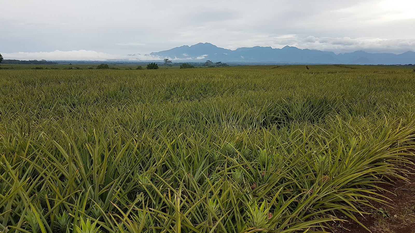
If low, spiky rosettes sit packed together in rows on red-earth mounds right at ground level, that's a pineapple field. They are especially common in Prachuap Khiri Khan province, and also in the east, such as Rayong.
A pineapple field stretching to the horizon (photo from Bukidnon, Philippines)Obsidian Soul / CC0
Plants & farming★★★
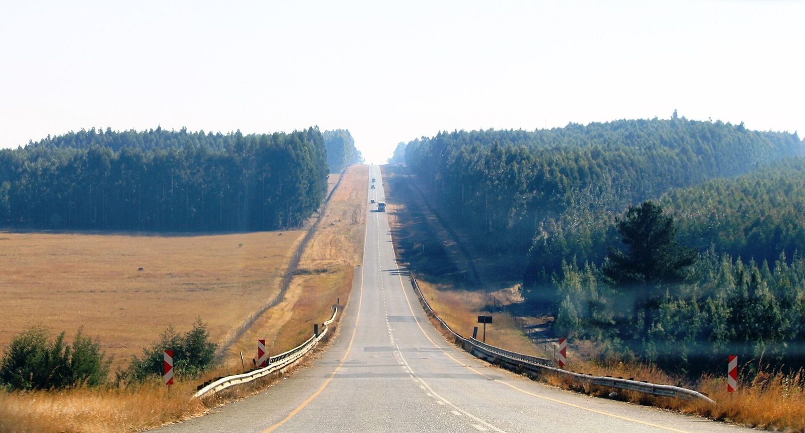
Stands of pale, slender-trunked eucalyptus planted at even spacing, packed close together, are common in the Northeast and the East (such as Sa Kaeo province).
A plantation lining the roadside (photo from Mpumalanga, South Africa)JMK / CC BY-SA 4.0
Plants & farming★★
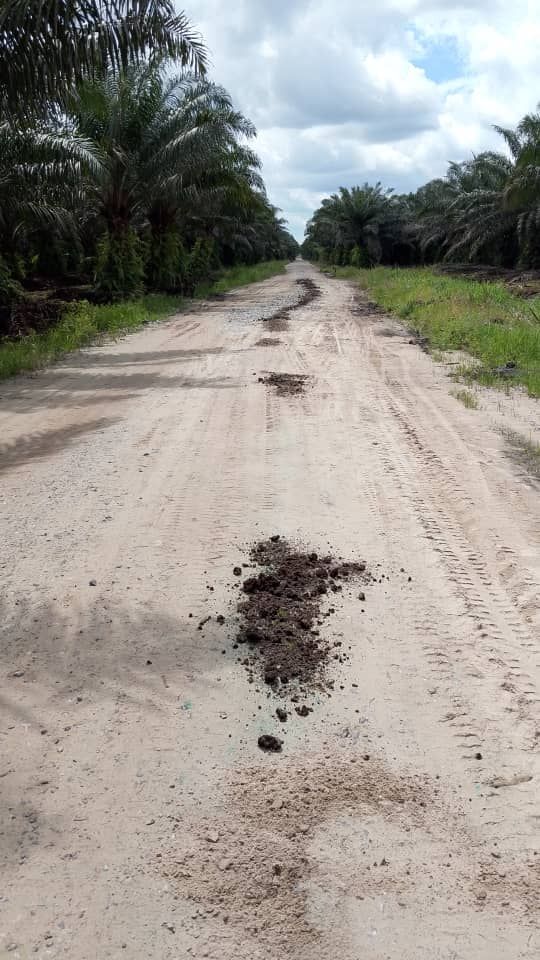
If a slender, straight trunk topped with small feather-shaped leaves is planted densely, that's an areca-palm ("mak" in Thai) plantation. They're found in the upper south, such as Chumphon and Ranong provinces.
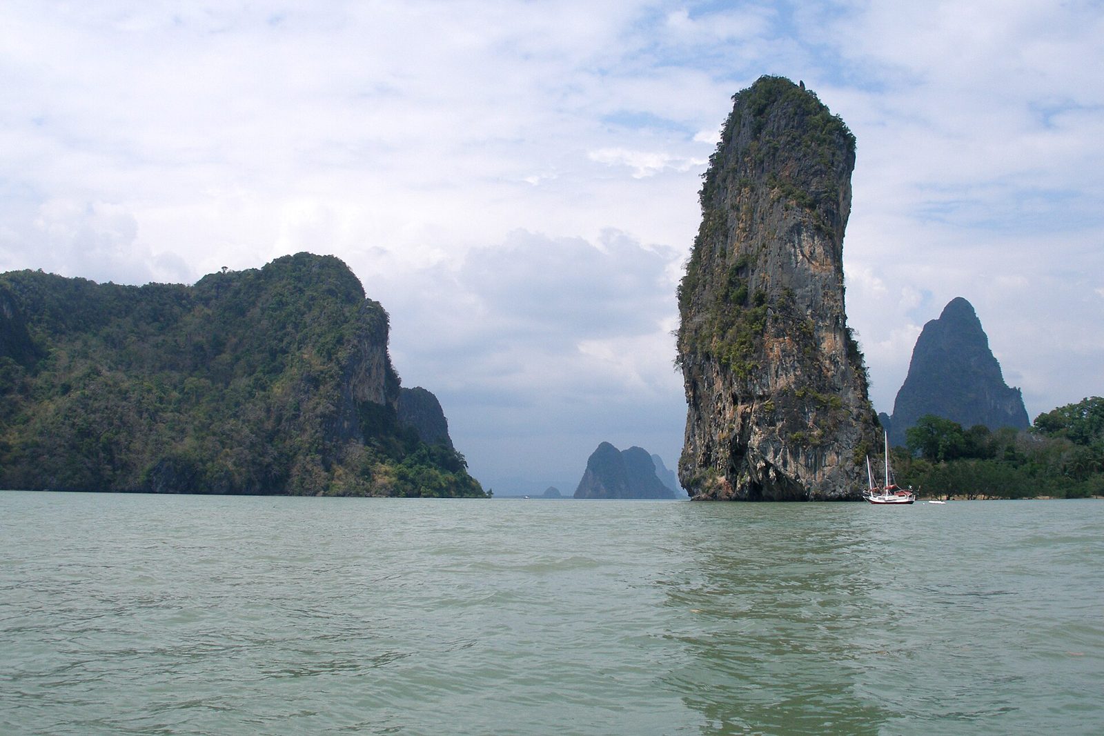
If vertical limestone towers rise abruptly out of the sea or flat ground, that's karst on the Andaman Sea side. Phang Nga Bay is the famous example, and this terrain is also found around Kanchanaburi in the west.
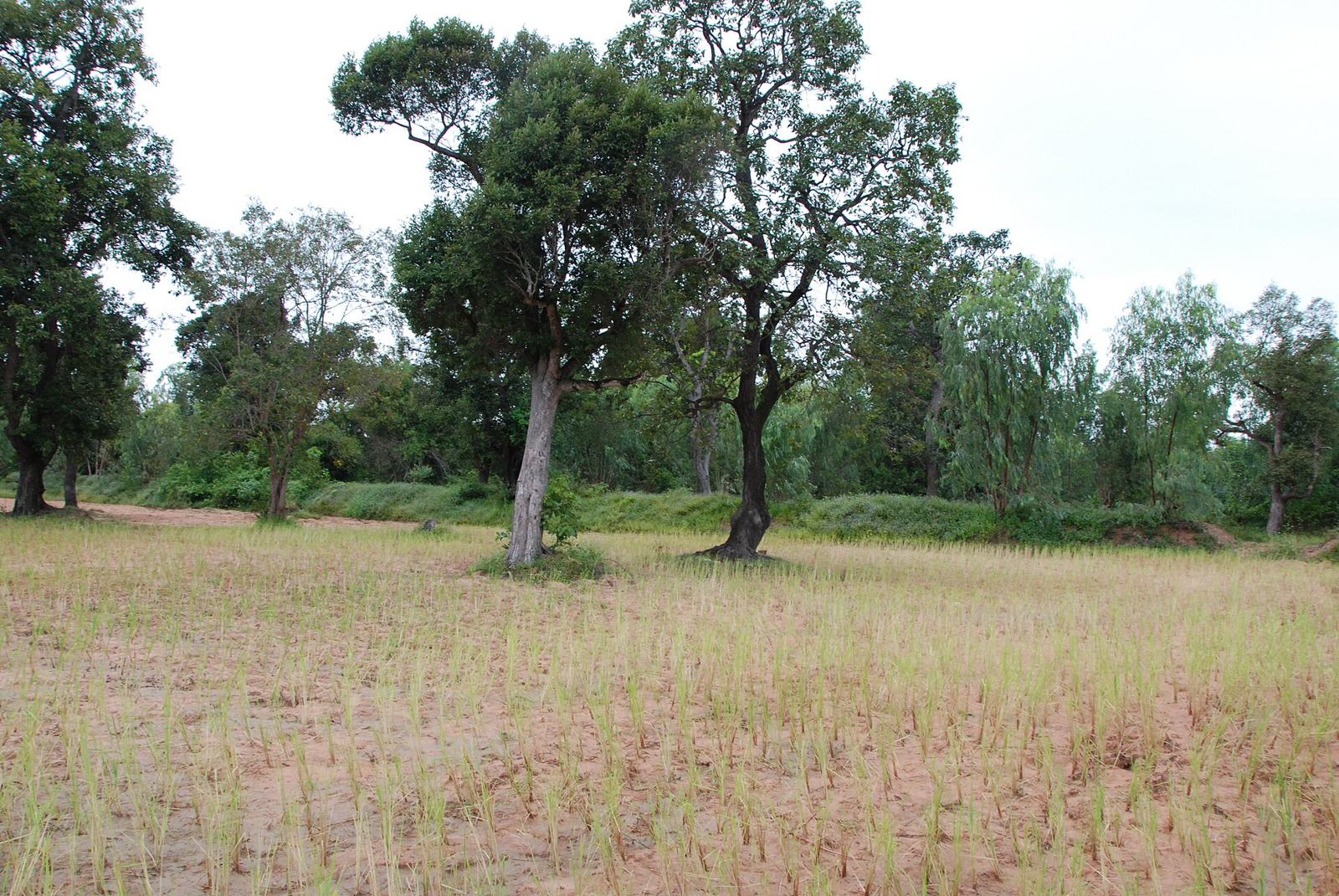
If a sandy, gently sloping plain continues on with rice paddies mixed among cassava and sugarcane fields, that's the Khorat Plateau of the northeast (Isan).
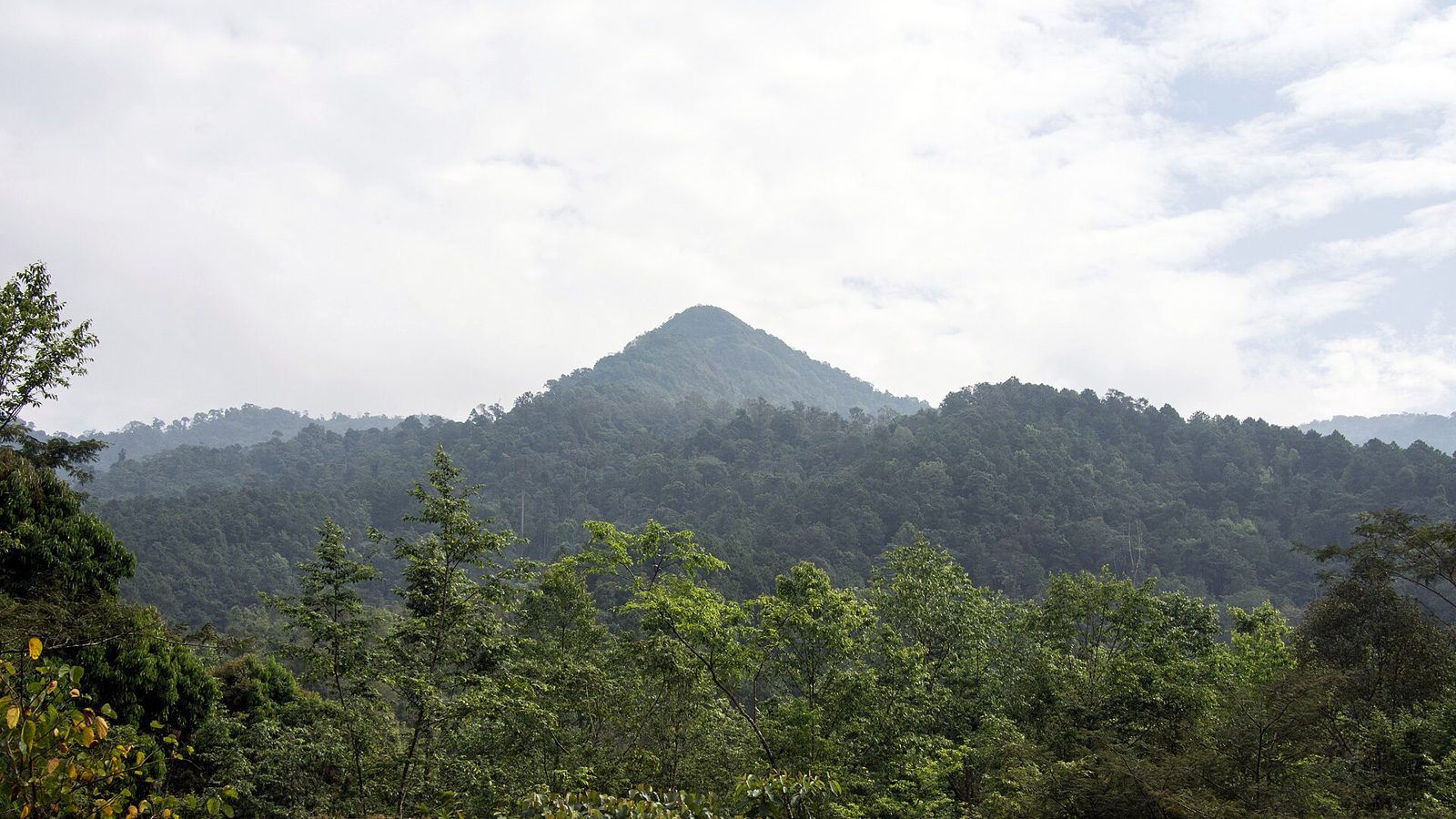
If north-south running mountain ranges enclose narrow river valleys holding rice paddies and settlements, that's the north (nine provinces, including Chiang Mai).