
 Paraguay
LanguageSpanish, Guarani
Driving sideDrives on the right
Domain.py
Whole area4
Clues that work anywhere in this area
Photo coming soonUtility Pole


Narrowing down the region3
Once you know the area: which part of it
Agriculture
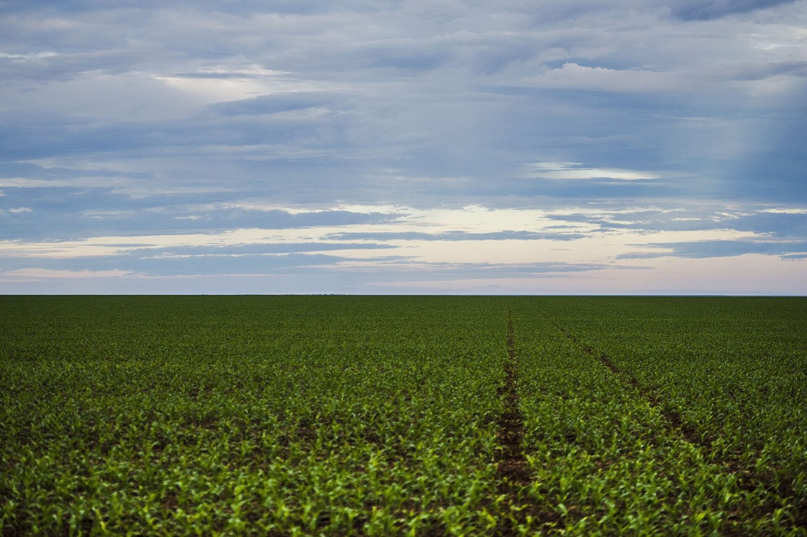
Plants & farming★★★
The northwest is drier, and the southeast gets more rainfall. Soybean and corn fields appear in the rainier east, and are more common the closer you get to the eastern border.
Examples123SourcesPolicy Research Institute, MAFF — Chapter 3: ParaguayINBIO - Estimación de Superficies Soja, Arroz, Maíz 2023/2024 (cultivated area by department)
Plants & farming★★★
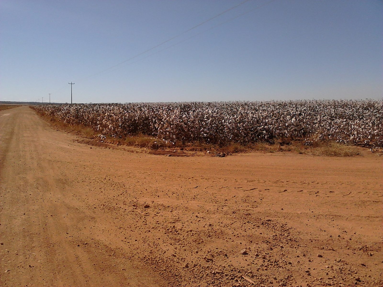
In the drier northwest, you'll find cotton and peanut fields.
NoteThere's no Street View coverage in this area.
Vegetation
Plants & farming★★★★
Dozens of palms with thin grey trunks and a fan of leaves on top (karanday, Copernicia alba) standing like a grove across dead-flat, waterlogged grassland means the lowlands along the Paraguay River (the Humid Chaco). You can see them around the entrance to the Trans-Chaco Highway (Ruta 9) and in the wetlands to the south.
Examples12SourcesCopernicia alba - Wikipedia (shape and habitat)Humid Chaco - Wikipedia (palm savanna)
Photo coming soonPlants & farming
No clues for this category and place yet.
Regions
Asuncion
Asuncion
Capital and largest city along the Paraguay River
Ciudad del Este
Ciudad del Este
Commercial city on the Brazilian border
Luque
Luque
Major city in the metropolitan area
Encarnacion
Encarnacion
Southern city on the Argentine border
Itaipu Dam
Itaipu Dam
One of the world's largest hydroelectric dams
Jesuit Missions
Jesuit Missions
World Heritage ruins at La Santisima Trinidad
Adapted from Natural Earth
Quiz
Basics
General facts about this placeNearby areas
A page of play notes and identification clues for GeoGuessr.