Bolivia

clues 23Regions 9Updated 2023-04-16

Quiz ▾Basics ▾

LanguageSpanish, Quechua, Aymara
Driving sideDrives on the right
Domain.bo
Easily confused with:Peru, AmericaQuizzes for this area:Bolivia State Quiz, Bolivia City Quiz, Area code quiz (Bolivia)

Whole area8

Clues that work anywhere in this area

Building★★★

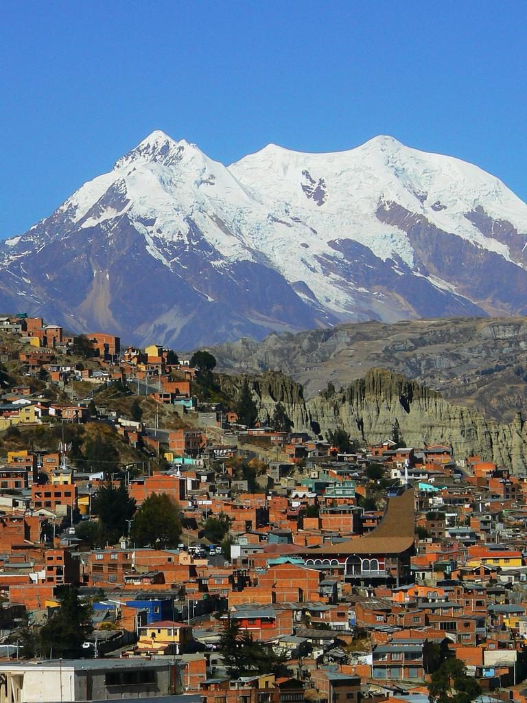
Wooden houses are rare — most homes are brick and cement. Some areas differ in color, and some areas have almost no buildings at all.

Examples123
txmx 2 / CC BY-NC-ND 2.0
Road★★★

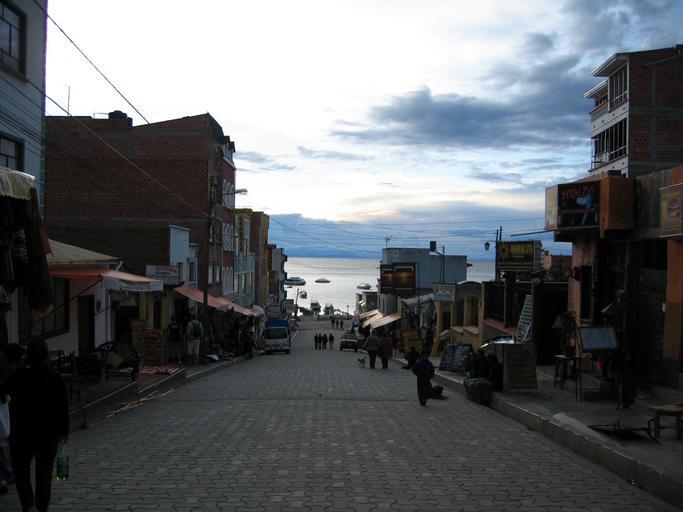
Some roads are paved with larger cobblestones.

Examples123456
Building★★★

The socialist party's flag colors (black/white/blue or white/blue) sometimes turn up around town. The abbreviated party name "MAS IPSP" can also be spotted.

Examples123SourcesMovimiento al Socialismo
Commercial Facilities★★★

Buildings for the major state telecom company Entel show up fairly regularly along the road.

Examples123
Religion & Culture★★

The colorful Wiphala flag or logo can be spotted.

Examples123SourcesWiphala - Wikimedia

Narrowing down the region8

Once you know the area: which part of it

Terrain

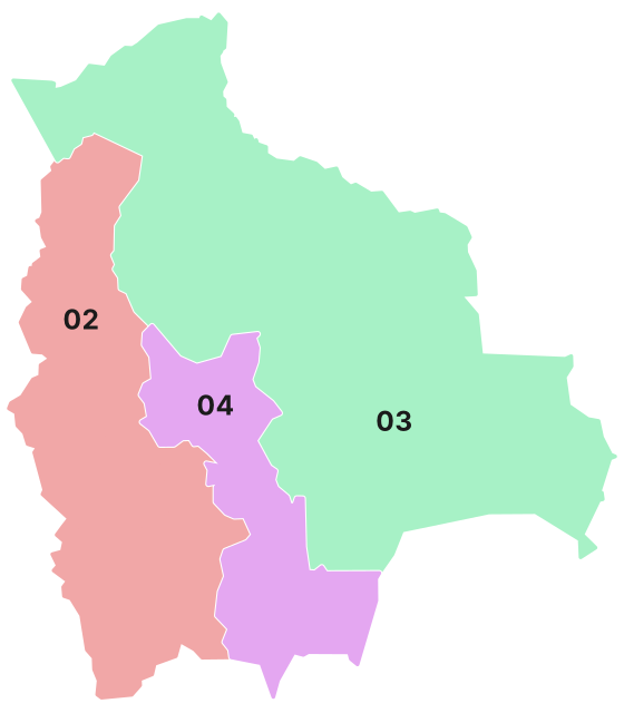
La PazOruroPotosíTarijaSanta CruzChuquisacaPandoEl BeniCochabamba
La PazOruroPotosíTarijaSanta CruzChuquisacaPandoEl BeniCochabambaHighlandsValleys and slopes
La PazOruroPotosíTarijaSanta CruzChuquisacaPandoEl BeniCochabambaLake TiticacaLake Titicaca

Where Terrain clues apply2

Click an item to jump to its clueTap to show the range; tap again or → to jump to the clue

  1. elevation
  2. Lake Titicaca
Landscape★★★

Elevation rises toward the west, while the east is mostly flat lowland.

Where
La PazOruroPotosíTarijaSanta CruzChuquisacaPandoEl BeniCochabambaHighlandsValleys and slopes
  • Highlands
  • Valleys and slopes
Landscape★★★

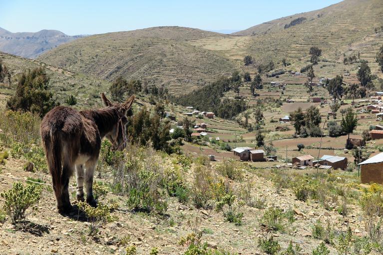
Treeless surroundings, mountains all around, and sparse housing might mean an area near Lake Titicaca.

Examples12
Open in Street View2
Where
La PazOruroPotosíTarijaSanta CruzChuquisacaPandoEl BeniCochabambaLake TiticacaLake Titicaca

Architecture

La PazOruroPotosíTarijaSanta CruzChuquisacaPandoEl BeniCochabamba

Where Architecture clues apply2

Click an item to jump to its clueTap to show the range; tap again or → to jump to the clue

  1. cement
  2. brick
Building★★★

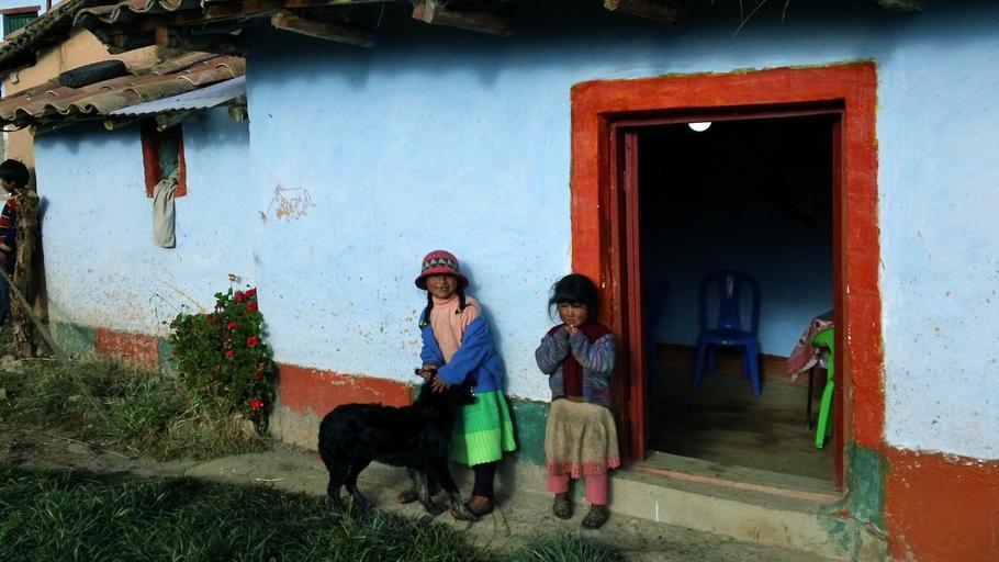
In low-elevation areas, there seems to be a tradition of coloring house walls with cement.

Examples12SourcesSource
Open in Street View2
Where
La PazOruroPotosíTarijaSanta CruzChuquisacaPandoEl BeniCochabamba
Building★★★

The higher the elevation, the more common simple brick houses become.

Examples12
Open in Street View2
Where
La PazOruroPotosíTarijaSanta CruzChuquisacaPandoEl BeniCochabamba

Roads

La PazOruroPotosíTarijaSanta CruzChuquisacaPandoEl BeniCochabamba
La PazOruroPotosíTarijaSanta CruzChuquisacaPandoEl BeniCochabambaNortheast of La Paz (RN3)Northeast of La Paz (RN3)
La PazOruroPotosíTarijaSanta CruzChuquisacaPandoEl BeniCochabamba

Where Roads clues apply2

Click an item to jump to its clueTap to show the range; tap again or → to jump to the clue

  1. RN3
  2. RN4
Road★★★

The RN3 (Ruta 3) runs northeast from La Paz through some fairly rugged mountains. Roads in this area are often shrouded in heavy fog.

Examples12345
Where
La PazOruroPotosíTarijaSanta CruzChuquisacaPandoEl BeniCochabambaNortheast of La Paz (RN3)Northeast of La Paz (RN3)
By Dr. Vladimir Iván - Own work, CC BY-SA 3.0
Road★★★

The RN9 is green and runs north-south. Look for red-and-white bollards, reflectors near the shoulder, and an orange center line.

Watch outThe scenery here looks completely different from the La Paz area, so keep that in mind. Consider this whenever the road runs north-south.
Examples12
By Grullab - Own work, CC BY-SA 4.0

Narrowing down the city7

Once you know the region: which city or town

La Paz

Landscape★★★

La Paz sits in a bowl-shaped basin, and cliffs are sometimes visible.

Examples12
Where
La PazOruroPotosíTarijaSanta CruzChuquisacaPandoEl BeniCochabambaLa PazLa Paz
Religion & Culture★★★

Dolls dressed in gray clothing are sometimes hung from utility poles — apparently a warning message aimed at thieves.

Sources"Why Bolivia's Aymara custom of 'killing thieves' isn't illegal"
Where
La PazOruroPotosíTarijaSanta CruzChuquisacaPandoEl BeniCochabambaLa PazLa Paz

Sucre

Sajama National Park

Google Car★★★

In Sajama National Park, you can see Sajama, a distinctive mountain, along with an equally distinctive Google Car.

Examples12
Where
La PazOruroPotosíTarijaSanta CruzChuquisacaPandoEl BeniCochabambaSajama National ParkSajama National Park

Isla del Sol

Other★★★

Isla del Sol, said to be the birthplace of the Inca Empire, has many Inca-era ruins.

Examples12SourcesIsla del Sol
Where
La PazOruroPotosíTarijaSanta CruzChuquisacaPandoEl BeniCochabambaIsla del SolIsla del Sol

Train Cemetery

Other★★★

There's a walking Street View through the Train Cemetery.

Examples1SourcesCementerio de trenes
Where
La PazOruroPotosíTarijaSanta CruzChuquisacaPandoEl BeniCochabambaTrain Cemetery (Uyuni)Train Cemetery (Uyuni)

Ojos del Salar

Landscape★★★

There's Street View inside a salt flat called Ojos del Salar.

Examples12
Where
La PazOruroPotosíTarijaSanta CruzChuquisacaPandoEl BeniCochabambaSalar de UyuniSalar de Uyuni

Regions

Hover a region on the map to see its name
La Paz Oruro Potosí Tarija Santa Cruz Chuquisaca Pando El Beni Cochabamba

Hover a region on the map to see its name

Basics

General facts about this place
  • A landlocked country in South America; the capital La Paz is the world's highest capital at about 3,600 m[ref]
  • Salar de Uyuni is known as the world's largest salt flat[ref]

Nearby areas

A page of play notes and identification clues for GeoGuessr.