
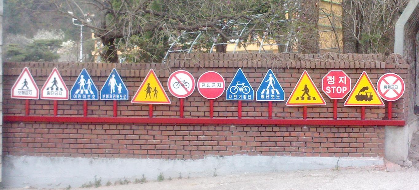
How to Distinguish
- Language is Korean
- Cars drive on the right
- Like Taiwan, utility poles have yellow-and-black diagonal stripes
- Warning signs are orange
Signs you can find


Understanding Modern Korea (3rd ed.)
East Asia is changing rapidly, and Korea is at the center of current tensions. This book explains what Korea is, its geography, historical formation, economic shifts, social issues, and culture.
Amazonで見るNarrow down state/region
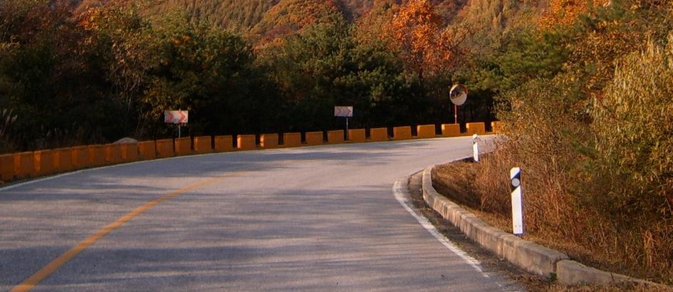
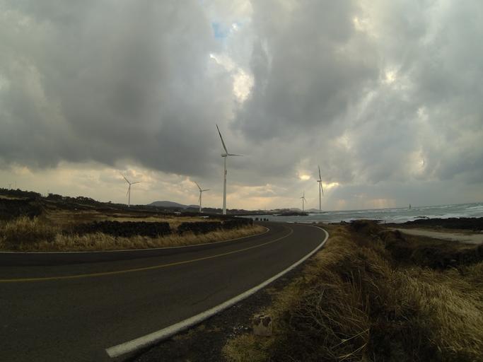
- Mountain ranges in the northeast and southwest; roads sometimes run between hills
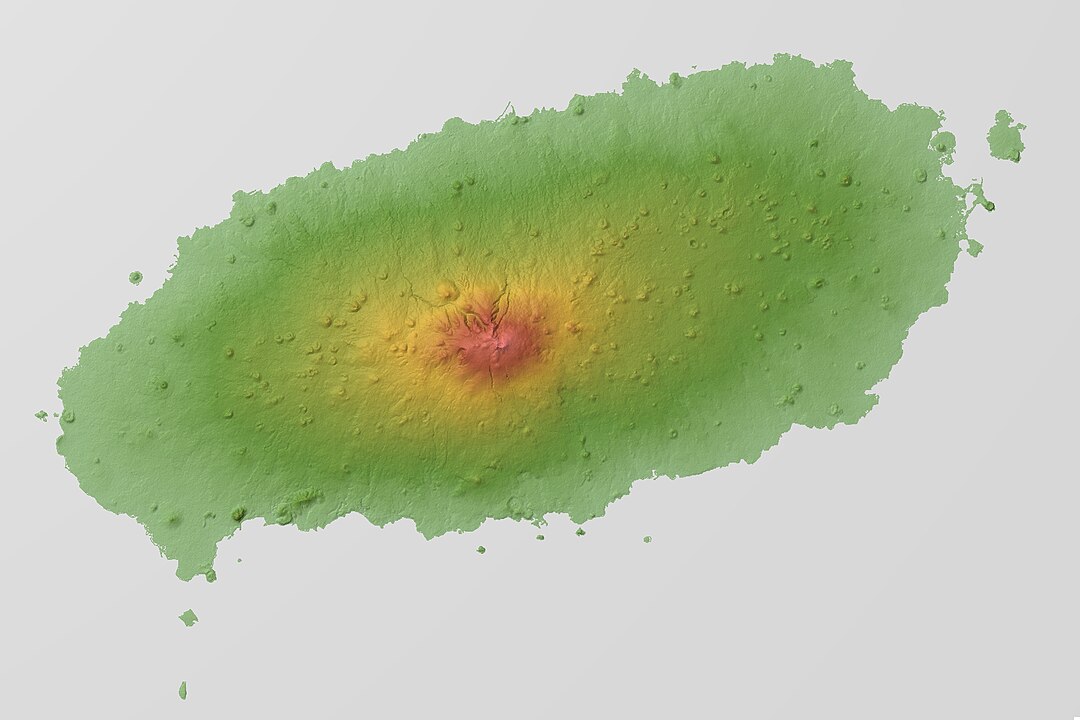
- Jeju Island is volcanic and has the highest peak in the center
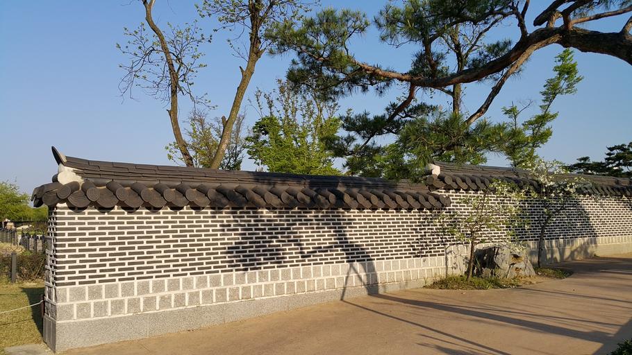
- Ondol floors were more common in the north, wood floors in the south(References Hanok - traditional Korean houses (JP))
There are mountain ranges inland in the northeast and southwest
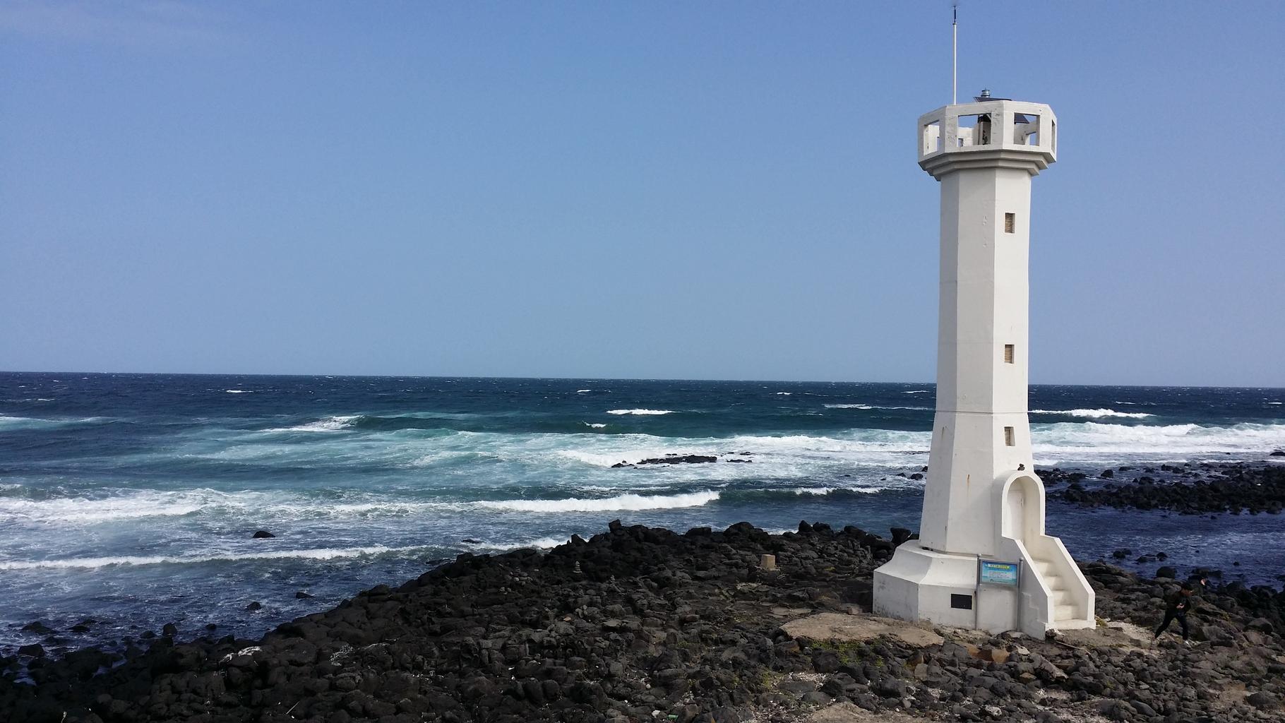
An oval-shaped volcanic island; like the volcanic Canary Islands, the soil is often dark, and it has many pampas-grass fields like Kyushu. There is only one highest peak in the center, so you won’t see a tall mountain flanking a road. Smaller hills (tens of meters to about 100m) are common.
It is hard to see inside homes, so this is not very useful. The images below show ondol floors, but I have not seen them in Street View.
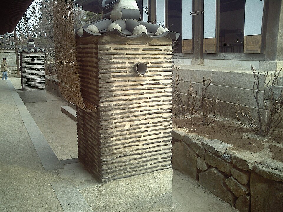
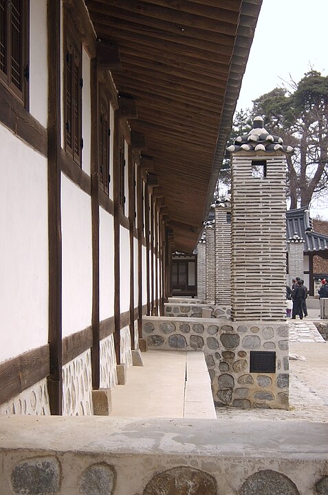
A southern-style house; in practice you almost never see inside the walls.
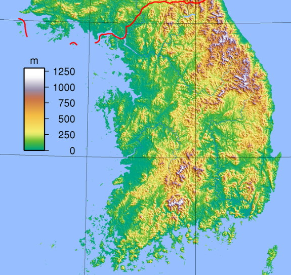
- Area codes help narrow down the region(References Phonecard › Telephone Area Code). The numbers on the map are the area codes.
Narrow down city/town
韓国の広域自治体 (17)
Try the quiz- ソウル特別市首都
- 釜山広域市
- 大邱広域市
- 仁川広域市
- 光州広域市
- 大田広域市
- 蔚山広域市
- 世宗特別自治市
- 京畿道
- 江原特別自治道旧 江原道(2023〜)
- 忠清北道
- 忠清南道
- 全北特別自治道旧 全羅北道(2024〜)
- 全羅南道
- 慶尚北道
- 慶尚南道
- 済州特別自治道
Representative companies
