Nepal

clues 10Regions 14Updated 2025-08-14

Quiz ▾Basics ▾

Easily confused with:India, Sri Lanka, BhutanQuizzes for this area:Nepal State Quiz, Nepal City Quiz

Whole area5

Clues that work anywhere in this area

License Plate★★★

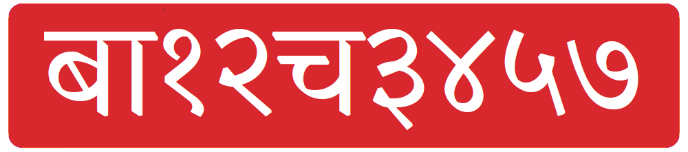
License plates often have a red background

Examples12
nepal-207
Flickr
CC0
Language & Script★★★

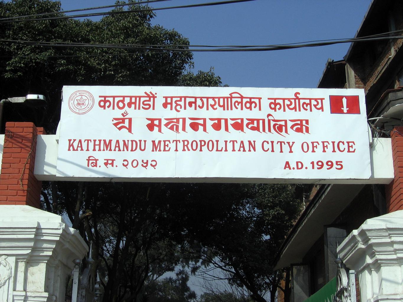
Signs are written in Nepali using Devanagari script. While it can be hard to distinguish from Hindi, in Nepal the numbers are also often written in Devanagari script.

Examples12

Narrowing down the region4

Once you know the area: which part of it
Terrain and Place Names

Signs★★★

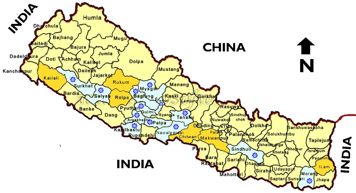
Names of Nepali districts sometimes appear on signs (though the town name is often shown while the district name is omitted)

  • Kailali12
  • Jhapa1
Districts

Combined with the poor image quality, district names can be hard to read.

Landscape★★★

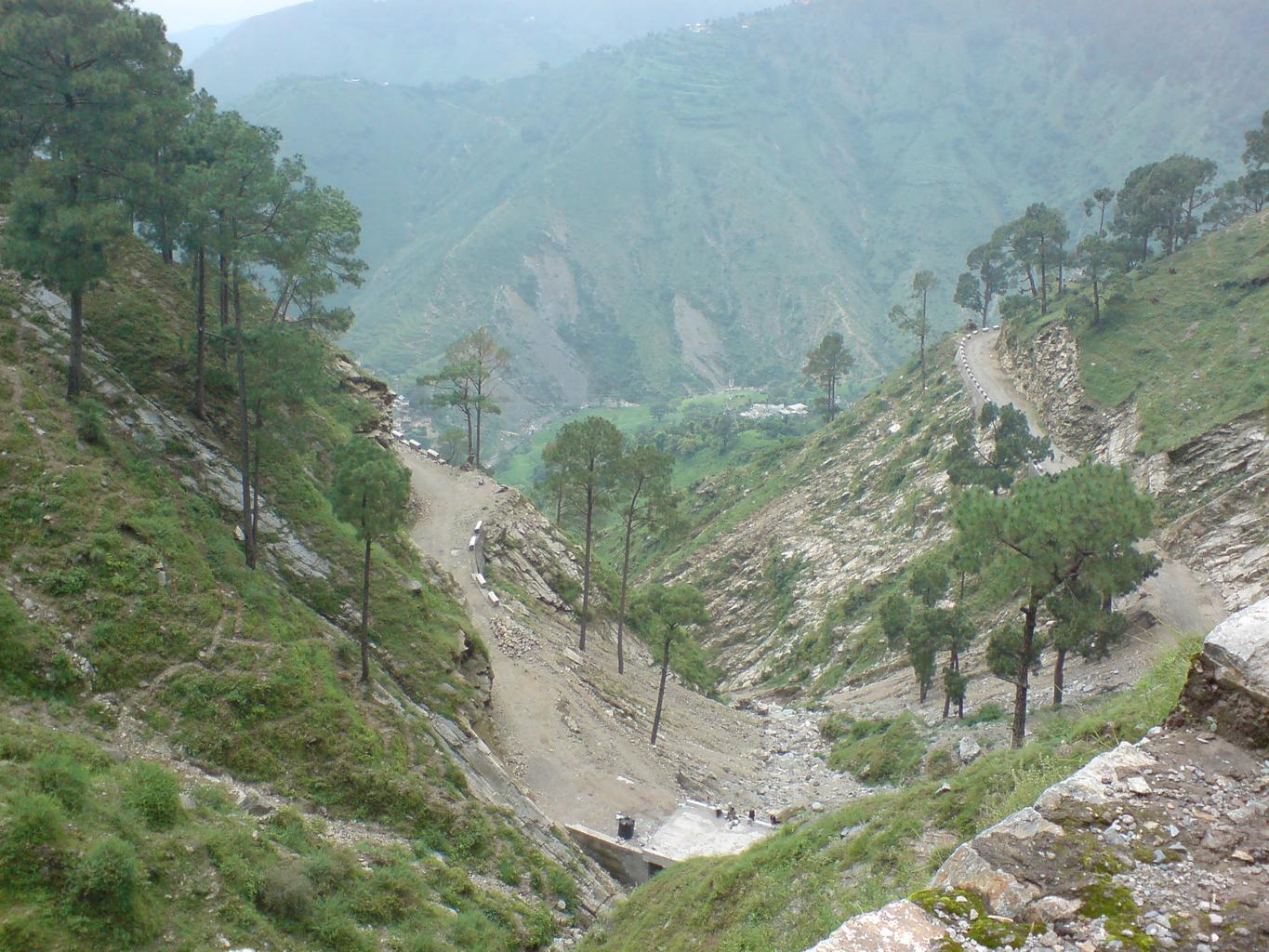
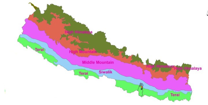
Flat plains extend along the southern border, while mountain ranges spread across the north

  • Plains123
  • Mountain areas1
Terrain

The Himalayan mountain range runs along the northern border, while flat plains extend along the southern border.

Vegetation

Plant★★★

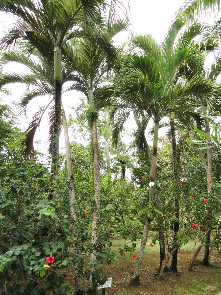
Tall palms like areca palms are more common in the plains of the far east

Areca Palms

This is based on playing the map dozens of times, so there is no official source.

Examples12
Plant★★★

Tea plantations are more common in the eastern region

Tea Plantations

Tea plantations are mostly in the eastern part of the country, particularly east of the town of Dharan (धरान)

Examples123
Coffee

Coffee is reportedly grown mostly in the central region, but it is very hard to identify due to the poor image quality. Moreover, some suggest that the coffee is not grown in neat plantations.

By Hari gurung77 - Own work, CC BY-SA 4.0

Narrowing down the city1

Once you know the region: which city or town

नाम्चे बजार

Other★★★

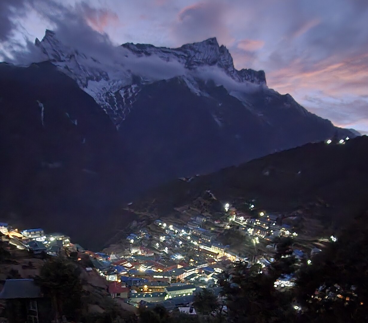
There is Street View coverage in Namche Bazaar (नाम्चे बजार), a base camp for Himalayan trekking

नाम्चे बजार

There is Street View coverage in Namche Bazaar (नाम्चे बजार), a base camp for Himalayan trekking. On the trekking trails, prayer flags similar to those in Bhutan can be seen. Shops sell mountaineering gear and signs display the current altitude. People around are also carrying trekking backpacks.

Examples1234
Regions

Hover a region on the map to see its name
Karnali Mahakali Seti Dhawalagiri Gandaki Bagmati Janakpur Sagarmatha Bhojpur Mechi Narayani Lumbini Rapti Bheri

Hover a region on the map to see its name

Basics

General facts about this place
  • The world's highest peak, Mount Everest (8,848 m), lies on the border with China[ref]
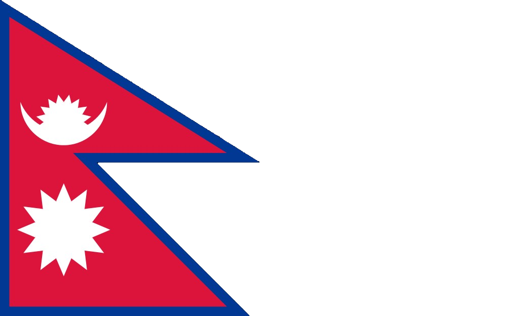
  • Has the world's only non-rectangular national flag (a double pennant)[ref]

Nearby areas

A page of play notes and identification clues for GeoGuessr.