Canada

clues 25Regions 13Updated 2023-04-29

Quiz ▾Basics ▾Companies ▾

LanguageEnglish, French
Driving sideDrives on the right
Domain.ca
Easily confused with:America, Finland, SwedenQuizzes for this area:Canada State Quiz, Canada City Quiz, Area code quiz (Canada)

Whole area5

Clues that work anywhere in this area

Signs★★★

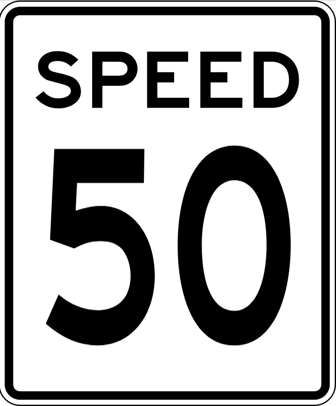
Speed limit signs say MAXIMUM. US signs say SPEED LIMIT.

Examples12See alsoUSA
Canada
Canada
Canada
Canada
USA (SPEED LIMIT)
USA (SPEED LIMIT)
USA
USA
Signs★★★

If the inverted-triangle YIELD sign or the ONEWAY sign has no text on it, it's Canada. If YIELD is written out, it's the US.

See alsoUSA
Canada (no text)
Canada (no text)
USA (YIELD)
USA (YIELD)
Canada (no text)
Canada (no text)
USA
USA
Easy-to-find landmarks★★★

Community mailboxes are common. Look for "CANADA POST" written somewhere on them.

Signs★★★

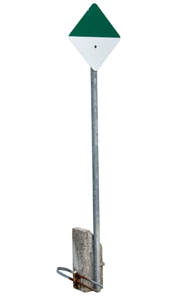
Some signs have a checkerboard-like pattern.

Examples1
Commercial Facilities★★★

Banks marked "TD" belong to the Toronto-Dominion Bank group, while "RBC" is short for Royal Bank of Canada.

Examples12
TD Canada Trust (Toronto)
Greg's Southern Ontario / All Rights Reserved
Toronto-Dominion Bank
Royal Bank of Canada

Area Code

Phone area codes narrow down the region

Phone area codes are assigned by region. When a number shows up on a sign, an advert or a van, its leading digits narrow the location down to a part of the country.

Practise with the area code quiz

License Plate

Licence plate colours by province and territory

In the game plates are blurred, so only colours and bands show. The plates on the map are that blurred look. Hover or tap a state to see the plate unblurred and whether a front plate is required.

  • Hatched = no front plate required10
  • Blurred = how it looks in the game (hover to sharpen)

Simplified drawings: only the colours and bands as they appear blurred, not the real artwork. Light and angle change the colours.

BEAUTIFUL BRITISH COLUMBIAABC 123ALBERTAABC 123SASKATCHEWANABC 123FRIENDLY MANITOBAABC 123ONTARIOABC 123ONTARIOABC 123QUÉBECABC 123NEW BRUNSWICKABC 123NOVA SCOTIAABC 123PRINCE EDWARD ISLANDABC 123PRINCE EDWARD ISLANDABC 123NEWFOUNDLAND LABRADORABC 123NEWFOUNDLAND LABRADORABC 123YUKONABC 123NORTHWEST TERRITORIESABC 123NUNAVUT ᓄᓇᕗᑦ123 456NUNAVUTABC 123British Columbia — Front plate requiredAlberta — No front plate (rear only)Saskatchewan — No front plate (rear only)Manitoba — Front plate requiredOntario — Front plate requiredQuebec — No front plate (rear only)New Brunswick — No front plate (rear only)Yukon — No front plate (rear only)Nunavut — No front plate (rear only)Newfoundland and Labrador — No front plate (rear only)Nova Scotia — No front plate (rear only)Northwest Territories — No front plate (rear only)Prince Edward Island — No front plate (rear only)BCABSKMBONQCNBNSPENLYTNTNU
See them all13
  • BC British ColumbiaFront plate requiredWhite with blue text and a small flag at the top left; plates front and back
  • AB AlbertaNo front plate (rear only)Plain white with red text
  • SK SaskatchewanNo front plate (rear only)White with green text and yellow wheat at the bottom
  • MB ManitobaFront plate requiredGreen on both sides (trees), yellow at the bottom (wheat); plates front and back
  • 2020 年の少数
    ON OntarioFront plate requiredWhite with blue text and a small crown; plates front and back (the 2020 blue plate is rare)
  • QC QuebecNo front plate (rear only)White with blue text and a small fleur-de-lis; rear only
  • NB New BrunswickNo front plate (rear only)Red text with gold and sky-blue bands at the top
  • NS Nova ScotiaNo front plate (rear only)White with blue text and a grey sailing ship in the middle
  • 2013〜2022
    PE Prince Edward IslandNo front plate (rear only)White with green text and a red patch at the bottom left (a flag)
  • 2007〜2021(青い文字)
    NL Newfoundland and LabradorNo front plate (rear only)White with black text and a blue plant at the bottom
  • YT YukonNo front plate (rear only)White with black text, a gold prospector on the left and a sky-blue band at the bottom
  • NT Northwest TerritoriesNo front plate (rear only)A white plate cut in the shape of a polar bear, with blue text
  • 〜2012(熊の形)
    NU NunavutNo front plate (rear only)Night-sky navy at the top, white below with black text (bear-shaped until 2012)

Terrain

Landscape★★★

Mountainous terrain is limited to a few areas. British Columbia has almost no flat land outside the Vancouver area.

Examples12
Where
British ColumbiaAlbertaSaskatchewanManitobaOntarioQuébecNew BrunswickYukonNunavutNewfoundland and LabradorNova ScotiaNorthwest TerritoriesPrince Edward Island
Yellow-green is flat, yellow is lower mountains or hills, brown is rugged mountains

Things on the road

Language & Script★★★

STOP and ARRET together point to New Brunswick or Ontario.

Where
British ColumbiaAlbertaSaskatchewanManitobaOntarioQuébecNew BrunswickYukonNunavutNewfoundland and LabradorNova ScotiaNorthwest TerritoriesPrince Edward IslandNew Brunswick

Agriculture

British ColumbiaAlbertaSaskatchewanManitobaOntarioQuébecNew BrunswickYukonNunavutNewfoundland and LabradorNova ScotiaNorthwest TerritoriesPrince Edward Island
British ColumbiaAlbertaSaskatchewanManitobaOntarioQuébecNew BrunswickYukonNunavutNewfoundland and LabradorNova ScotiaNorthwest TerritoriesPrince Edward IslandNew Brunswick
British ColumbiaAlbertaSaskatchewanManitobaOntarioQuébecNew BrunswickYukonNunavutNewfoundland and LabradorNova ScotiaNorthwest TerritoriesPrince Edward IslandOkanaganOkanagan
British ColumbiaAlbertaSaskatchewanManitobaOntarioQuébecNew BrunswickYukonNunavutNewfoundland and LabradorNova ScotiaNorthwest TerritoriesPrince Edward IslandPrince Edward Island
British ColumbiaAlbertaSaskatchewanManitobaOntarioQuébecNew BrunswickYukonNunavutNewfoundland and LabradorNova ScotiaNorthwest TerritoriesPrince Edward Island

Where Agriculture clues apply6

Click an item to jump to its clueTap to show the range; tap again or → to jump to the clue

  1. canola
  2. maple
  3. Okanagan
  4. potato
  5. wheat field
  6. soybean
Plants & farming★★★★

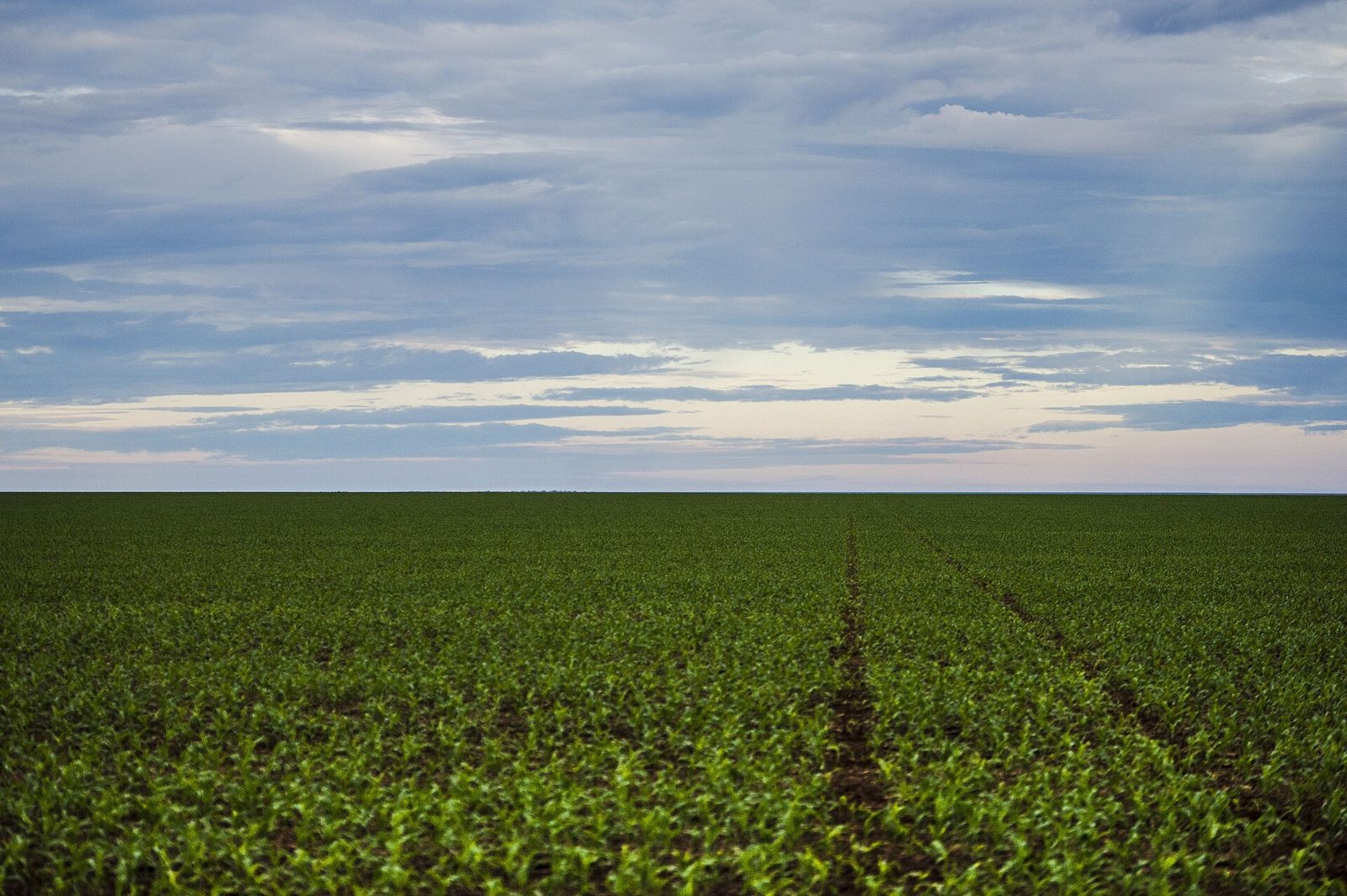
Fields of bright yellow flowers stretching to the horizon mean canola (rapeseed). They are concentrated in three provinces: Saskatchewan, Alberta and Manitoba.
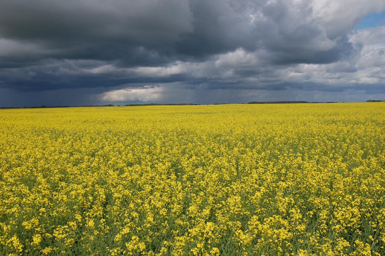
Watch outThe flowers only bloom for a few weeks in summer. Outside that window the field is green or freshly cut, so a lack of yellow doesn't rule this out.
SourcesPrincipal field crop areas, June 2025 - Statistics Canada (planted area by province)
Where
British ColumbiaAlbertaSaskatchewanManitobaOntarioQuébecNew BrunswickYukonNunavutNewfoundland and LabradorNova ScotiaNorthwest TerritoriesPrince Edward Island
A canola field in full bloom stretching to the horizon (east-central Saskatchewan)
Nas2 / CC0
Plants & farming★★★★

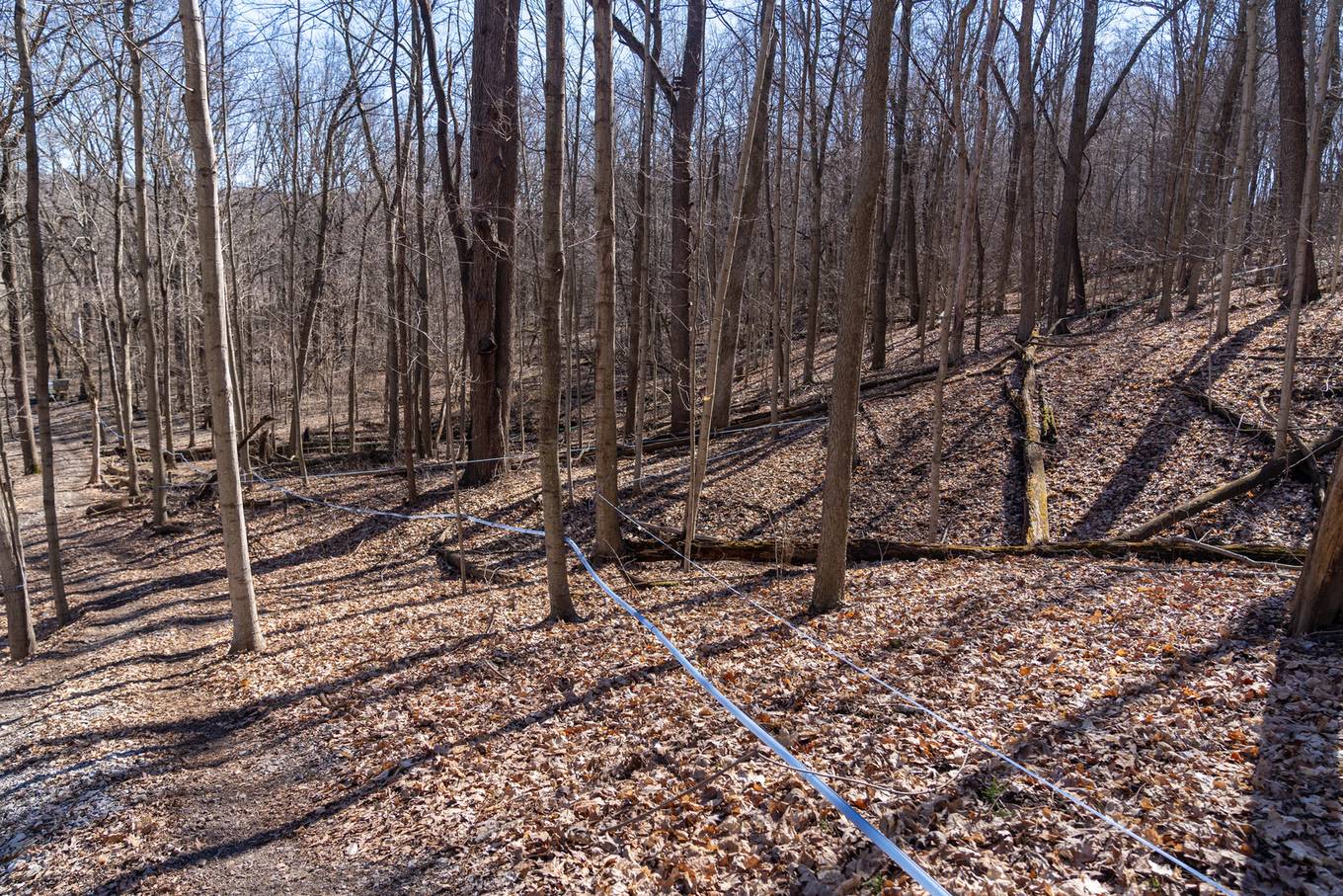
A deciduous forest strung with thin tubing running from tree to tree is a maple sugar bush. The main producing province is Québec, followed by New Brunswick and Ontario.
SourcesMaple syrup - Wikipedia (production share by province and tapping methods)
Where
British ColumbiaAlbertaSaskatchewanManitobaOntarioQuébecNew BrunswickYukonNunavutNewfoundland and LabradorNova ScotiaNorthwest TerritoriesPrince Edward IslandNew Brunswick
Tubing strung between trees to collect sap (photo from Indiana, USA)
USDA NRCS / Public domain
Plants & farming★★★★

Orchards and vineyards terraced up a hillside, with a long, narrow lake in view, very likely mean the Okanagan region of British Columbia. The area was originally mostly apple and other orchards, but vineyards have been increasing in recent years.
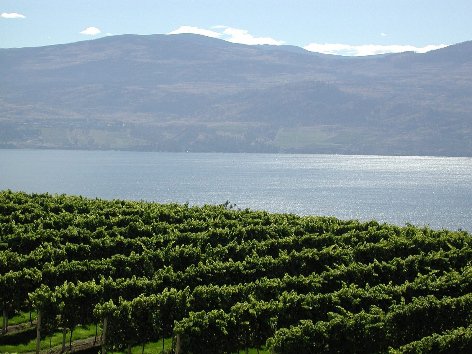
Watch outDry hillsides and orchards are common and don't feel especially "Canadian." Also, areas where both a lake and vineyards are visible at once aren't all that widespread, so be careful.
Examples12345SourcesOkanagan - Wikipedia (climate and agriculture)
Where
British ColumbiaAlbertaSaskatchewanManitobaOntarioQuébecNew BrunswickYukonNunavutNewfoundland and LabradorNova ScotiaNorthwest TerritoriesPrince Edward IslandOkanaganOkanagan
Vineyards on a dry hillside above the long, narrow Okanagan Lake
Kelly Nigro / CC BY 2.0
Plants & farming★★★★

Fields of distinctly reddish soil covering the whole island mean Prince Edward Island. It accounts for a quarter of Canada's potato production.
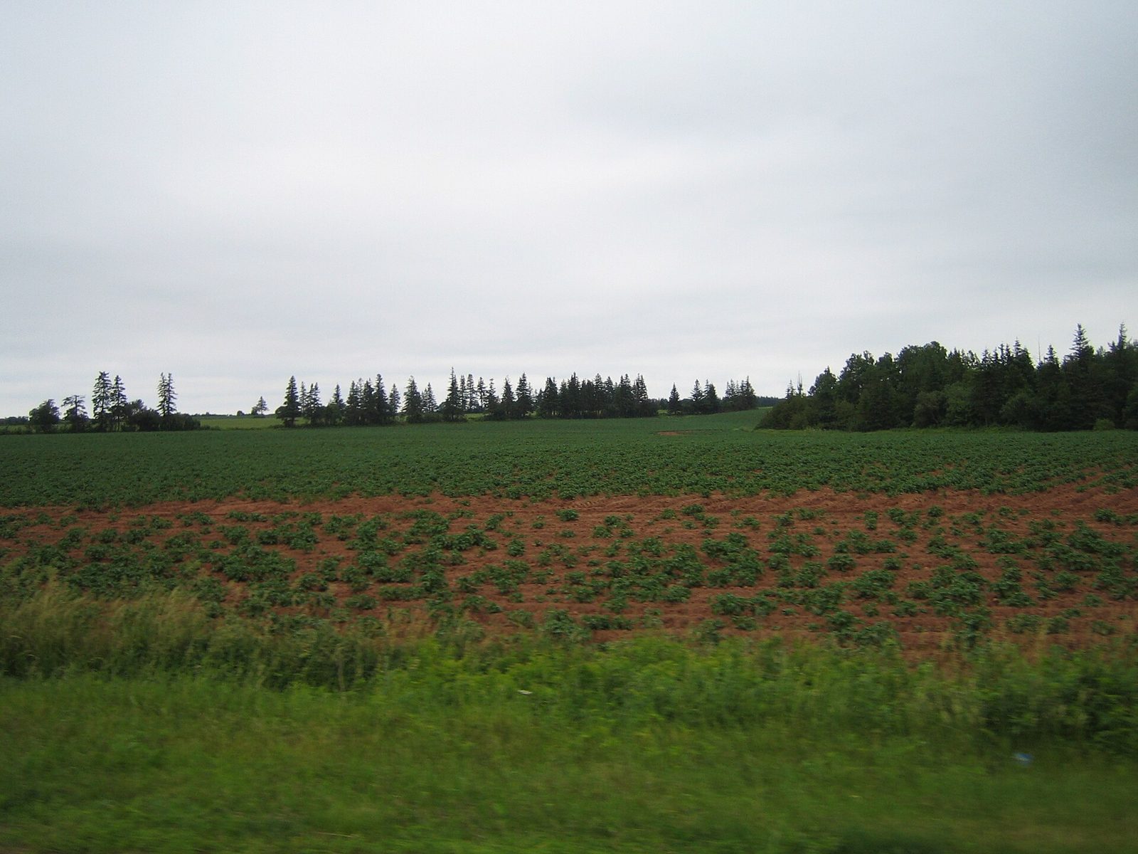
Watch outReddish soil also turns up in New Brunswick and Nova Scotia, so don't rely on soil color alone.
Examples12SourcesPrince Edward Island - Wikipedia (potato production)
Where
British ColumbiaAlbertaSaskatchewanManitobaOntarioQuébecNew BrunswickYukonNunavutNewfoundland and LabradorNova ScotiaNorthwest TerritoriesPrince Edward IslandPrince Edward Island
A potato field with red soil (Prince Edward Island)
Share Bear / Public domain
Plants & farming★★★

Flat wheat fields stretch across Saskatchewan and Alberta.
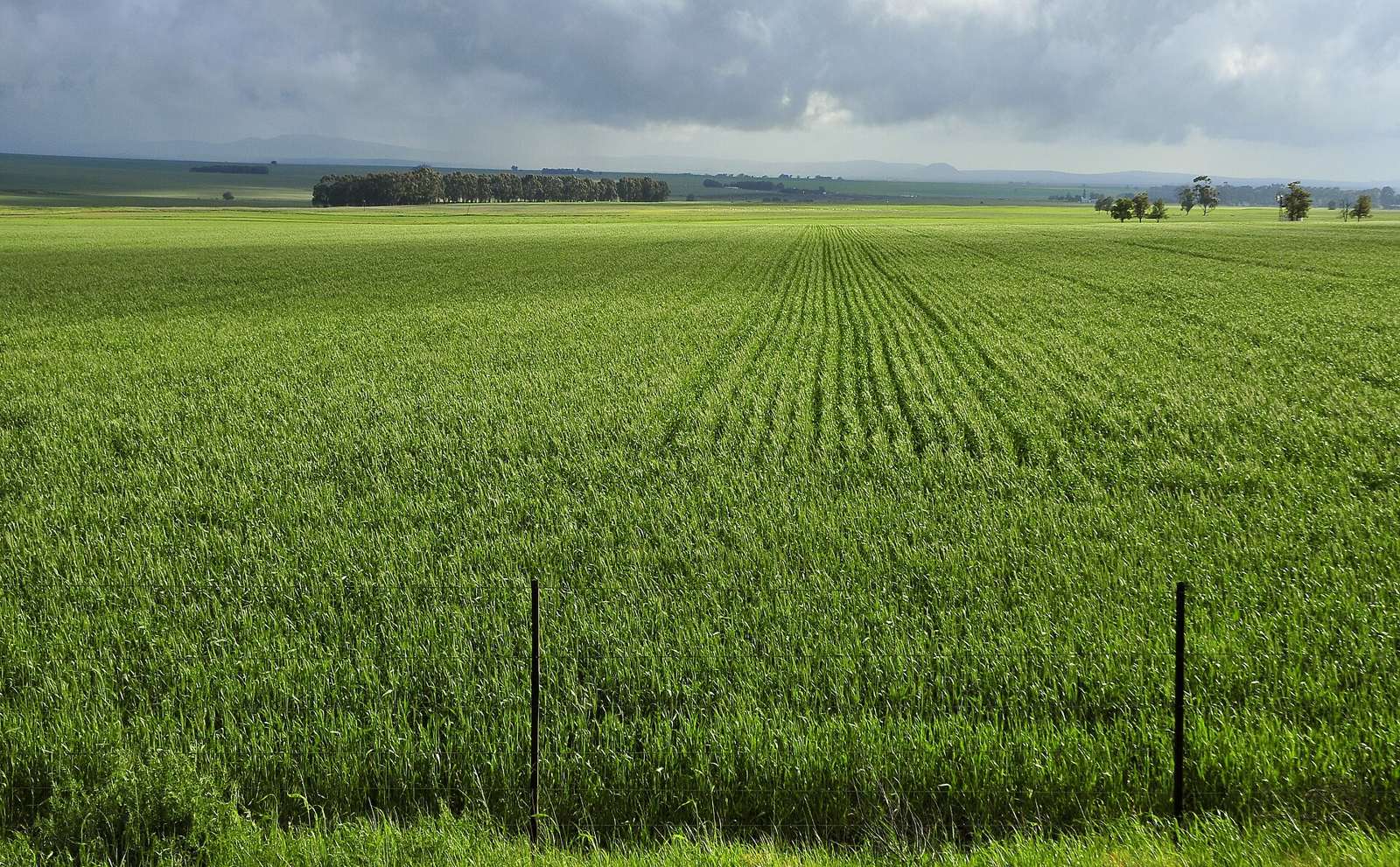
Examples12SourcesCanada - Crop Production Maps (USDA)
Where
British ColumbiaAlbertaSaskatchewanManitobaOntarioQuébecNew BrunswickYukonNunavutNewfoundland and LabradorNova ScotiaNorthwest TerritoriesPrince Edward Island
A wheat field stretching to the horizon (photo from Western Cape, South Africa)
LBM1948 / CC BY-SA 4.0

Industry & Resources

British ColumbiaAlbertaSaskatchewanManitobaOntarioQuébecNew BrunswickYukonNunavutNewfoundland and LabradorNova ScotiaNorthwest TerritoriesPrince Edward Island
British ColumbiaAlbertaSaskatchewanManitobaOntarioQuébecNew BrunswickYukonNunavutNewfoundland and LabradorNova ScotiaNorthwest TerritoriesPrince Edward IslandNew Brunswick

Where Industry & Resources clues apply2

Click an item to jump to its clueTap to show the range; tap again or → to jump to the clue

  1. pumpjack
  2. Cali mine
Landscape★★★★

A massive pale waste-rock pile, a shaft headframe, and a long rail spur in the middle of flat fields mean the Cali mine. The mines are almost entirely concentrated in Saskatchewan.
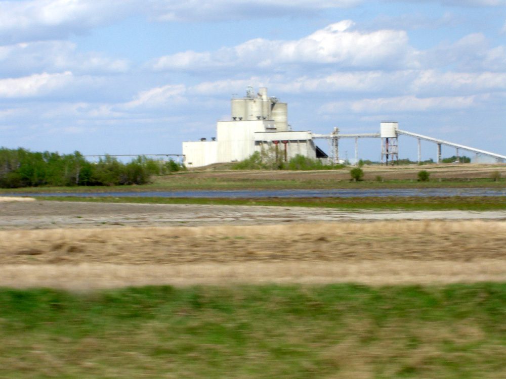
Examples12SourcesPotash - Wikipedia (production volume and Saskatchewan's mines)
Where
British ColumbiaAlbertaSaskatchewanManitobaOntarioQuébecNew BrunswickYukonNunavutNewfoundland and LabradorNova ScotiaNorthwest TerritoriesPrince Edward IslandNew Brunswick
A potash mine amid flat farmland (Patience Lake Mine, Saskatchewan)
SriMesh / CC BY 2.5

Nunavut

Language & Script★★★

A STOP sign written in Inuktitut points to Iqaluit, Nunavut.

Examples1

Quebec

Language & Script★★★

If the STOP sign says ARRET, it's Québec.

Examples1
Language & Script★★★

A speed limit sign with French text means Québec.

Bollard★★★

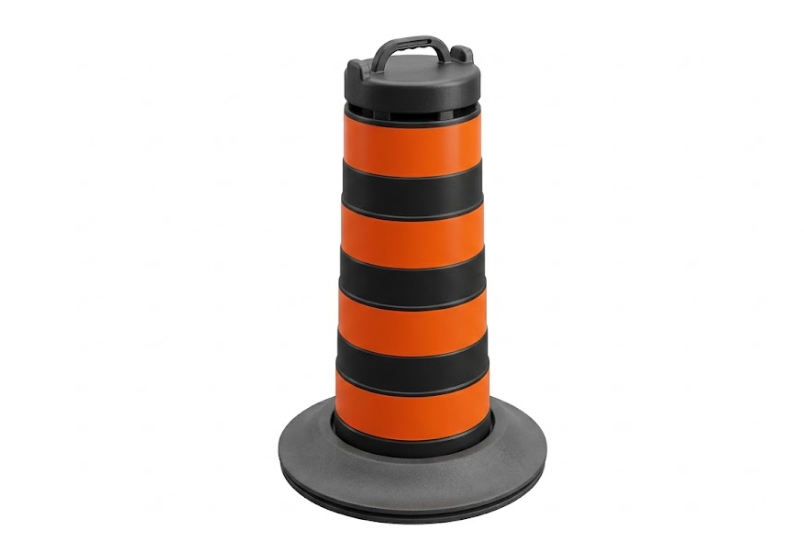
Thin bollards with a dark red reflector on top point to Québec.

Watch outThe US has similar-looking bollards too.1
Examples12See alsoUSA

British Columbia

Signs

Road signs by province (routes and speed limits)

Hover or tap a region for a larger drawing and how to tell it apart. These are not blurred in the game, so learn the shape and colour as they are.

Route markers are public-domain drawings from Wikimedia Commons; the rest are simplified drawings of shape and colour only.

Sources of the sign drawings (Wikimedia Commons)13
YELLOWHEAD16MAXIMUM50km/hAlberta567MAXIMUM60354MAXIMUM60Manitoba210MAXIMUM60COUNTY12MAXIMUM50km/hMAXIMUM50SECTEURNB2MAXIMUM607215MAXIMUM60MAXIMUM60MAXIMUM602MAXIMUM60MAXIMUM60MAXIMUM60British ColumbiaAlbertaSaskatchewanManitobaOntarioQuebecNew BrunswickYukonNunavutNewfoundland and LabradorNova ScotiaNorthwest TerritoriesPrince Edward IslandBCABSKMBONQCNBNSPENLYTNTTCH
See them all
  • Yellowhead Hwy
    BC British ColumbiaWhite shield with the provincial crest; the Yellowhead route has a yellow flag
  • secondary
    AB AlbertaWhite shield with the Alberta script; secondary roads use a white oval
  • secondary
    SK SaskatchewanBlue shield with white wheat sheaves; secondary roads white with green wheat
  • secondary
    MB ManitobaWhite shield with green Manitoba; secondary roads use a black oval
  • county
    ON OntarioWhite shield with a crown (King's Highway); county roads are a white square
  • autoroute
    route
    QC QuebecBlue shield with a red band for autoroutes, green shield for routes; both carry a fleur-de-lis
  • NB New BrunswickGreen shield with white number and NB
  • 100-series
    trunk
    collector
    NS Nova ScotiaBlue shield for 100-series, white shield for trunk routes, brown rectangle for collectors
  • PE Prince Edward IslandWhite shield with three green trees
  • NL Newfoundland and LabradorWhite rectangle with a green border and ROUTE
  • Highway 1
    Highway 2
    YT YukonWhite square with a coloured number (colour varies by route)
  • NT Northwest TerritoriesNavy rectangle with a white polar bear and NWT
  • TCH Trans-Canada HighwayGreen shield with a white maple leaf; seen in every province, so it does not narrow the province
Signs★★★

A speed limit sign with a white background and km/h text points to British Columbia.

Ontario

Signs★★★

If the km/h part of a speed limit sign has a black background, it's Ontario. Sometimes it's shown in orange and black instead.

Watch outOn roads connecting Ontario and Manitoba, the speed signs on the Manitoba side don't have the black background.
Examples12

Saskatchewan

Regions

Hover a region on the map to see its name
British Columbia Alberta Saskatchewan Manitoba Ontario Québec New Brunswick Yukon Nunavut Newfoundland and Labrador Nova Scotia Northwest Territories Prince Edward Island

Hover a region on the map to see its name

Basics

General facts about this place
  • The world's second-largest country by area, with English and French as official languages[ref]
  • Most of the country is covered by boreal forest (taiga) and tundra[ref]

Companies

Companies with ties to this region. However, this does not necessarily mean they can be used on GeoGuessr.

Logos you may spot

  • CN Railway
  • Cameco
  • Nutrien
  • Pembinalogo
  • Teck Resources
  • rbc
  • shopify
  • td
  • Pembina Pipeline

    A major midstream oil and natural gas company.

  • Canadian National Railway

    CNR is Canada's largest railway company, and the only railway in Canada that crosses the continent is CNR.

  • Teck Resources

    Engaged in metals and mining.The company mainly handles coal, zinc, and copper for steelmaking (more than 90% of its revenue), and also handles secondary products such as lead, gold, and molybdenum.

  • Nutrien

    The world's second largest fertilizer manufacturer.No. 1 in potash fertilizer production, and No. 2 in the world in nitrogen fertilizer production.

  • Cameco

    It is the largest listed uranium mining company in the world (it is believed).Canada is the second largest producer of uranium after Kazakhstan..

Nearby areas

A page of play notes and identification clues for GeoGuessr.