
How to Distinguish
- The country domain ends with .vi.
- The Google car is distinctive.
- Mostly flat terrain with many straight roads points to the low-lying southern island, St. Croix.
- Hilly terrain with sparse population and dense greenery suggests the northeastern island, St. John.
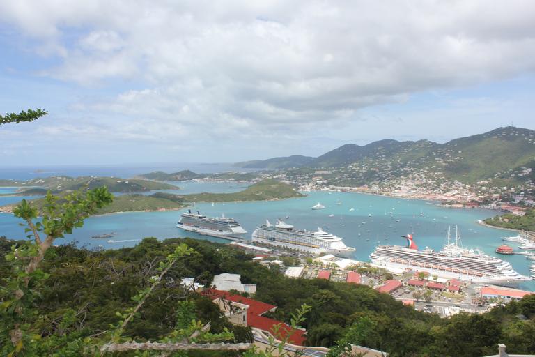
- Hilly terrain with a more built-up feel indicates the northwestern island, St. Thomas.
On the northern islands the vehicles are often white and the landscape is hilly. If it looks lively with plenty of residents or tourists, you are likely on St. Thomas in the northwest.
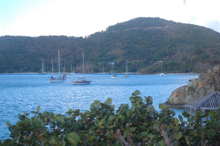
If the northern island feels remote, with white cars, few houses, and lots of greenery, consider the northeastern island of St. John. During the era of the transatlantic slave trade it produced sugarcane, and the Annaberg Sugar Plantation ruins remain, but the population today is very small.

The southern island, St. Croix, is the flattest and most populated(References St. Croix). Straight highways usually mean you are on the southern island.