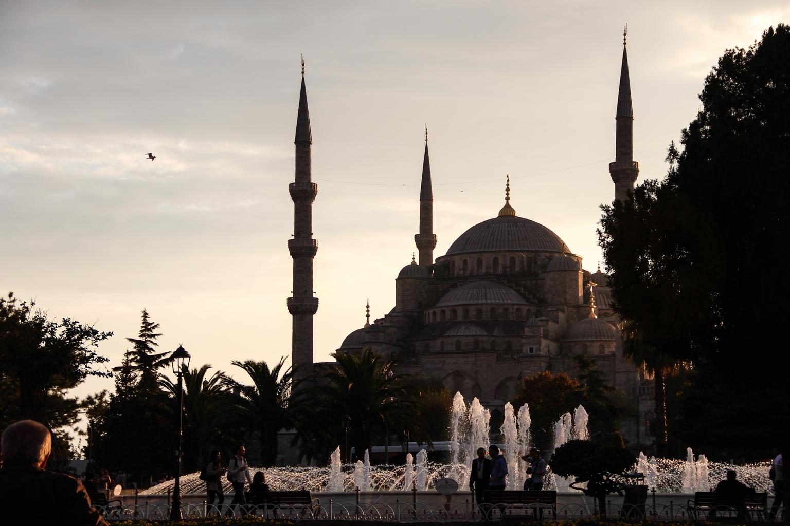
 Türkiye(Republic of Türkiye)
LanguageTurkish
Driving sideDrives on the right
Domain.tr
Easily confused with:north macedonia, GreeceQuizzes for this area:Türkiye State Quiz, Türkiye City Quiz, Area code quiz (Türkiye)
Whole area9
Clues that work anywhere in this area


Language & Script★★★
Signs are in Turkish, distinguished by the letters Ç, Ş, Ğ, İ, Ö, Ü, and the dot above letters like Ü. The country's name, Türkiye, also uses Ü.


Utility Pole★★★
There are several utility pole shapes typical of Turkey. Different but similar shapes exist, as does a hook-shaped one that could pass for Bulgaria.
Watch outShape (2) could also pass for something you'd see in Argentina.
Open in Street View1

Signs★★★
Türk Telekom manhole covers are found on roads, and "telefon" (Turkish for telephone) also appears.
Narrowing down the region14
Once you know the area: which part of it
Area Code
Phone area codes narrow down the region
Phone area codes are assigned by region. When a number shows up on a sign, an advert or a van, its leading digits narrow the location down to a part of the country.
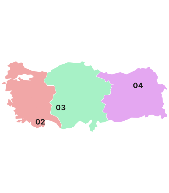 Coloured by leading digit
Road★★★
Route numbers can be read off kilometer markers.

Climate zones
Landscape★★★
A Köppen climate classification map.

Agriculture
Where Agriculture clues apply9
Click an item to jump to its clueTap to show the range; tap again or → to jump to the clue
Plants & farming★★★★★
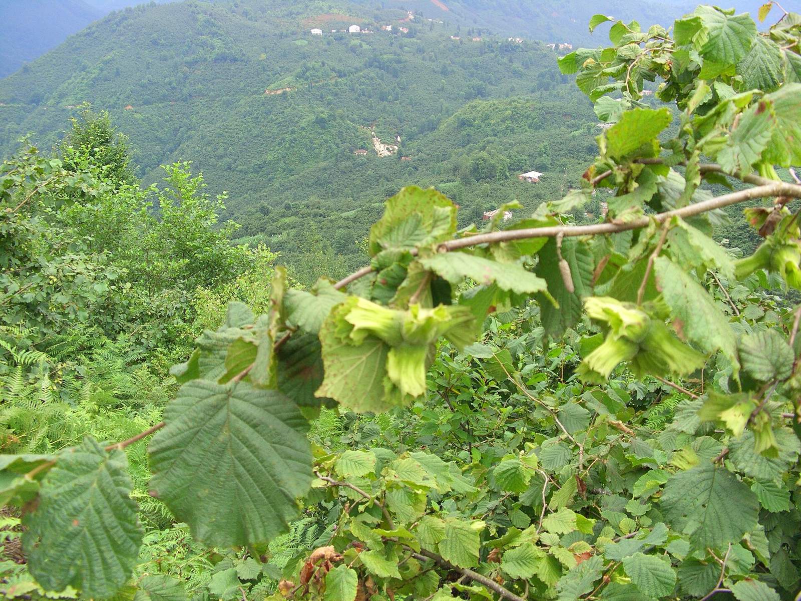
If steep slopes running down to the sea are densely covered with low, multi-stemmed shrubs, that's a hazelnut orchard on the Black Sea coast. They're especially common in Ordu province, and also found in Giresun and Trabzon to the east and Samsun to the west.
SourcesOrdu Province - Wikipedia (shares by province)Hazelnut - Wikipedia (Turkey's share of world production)TEPGE Fındık Ürün Raporu 2023 (production by province, 2022)
Plants & farming★★★★★
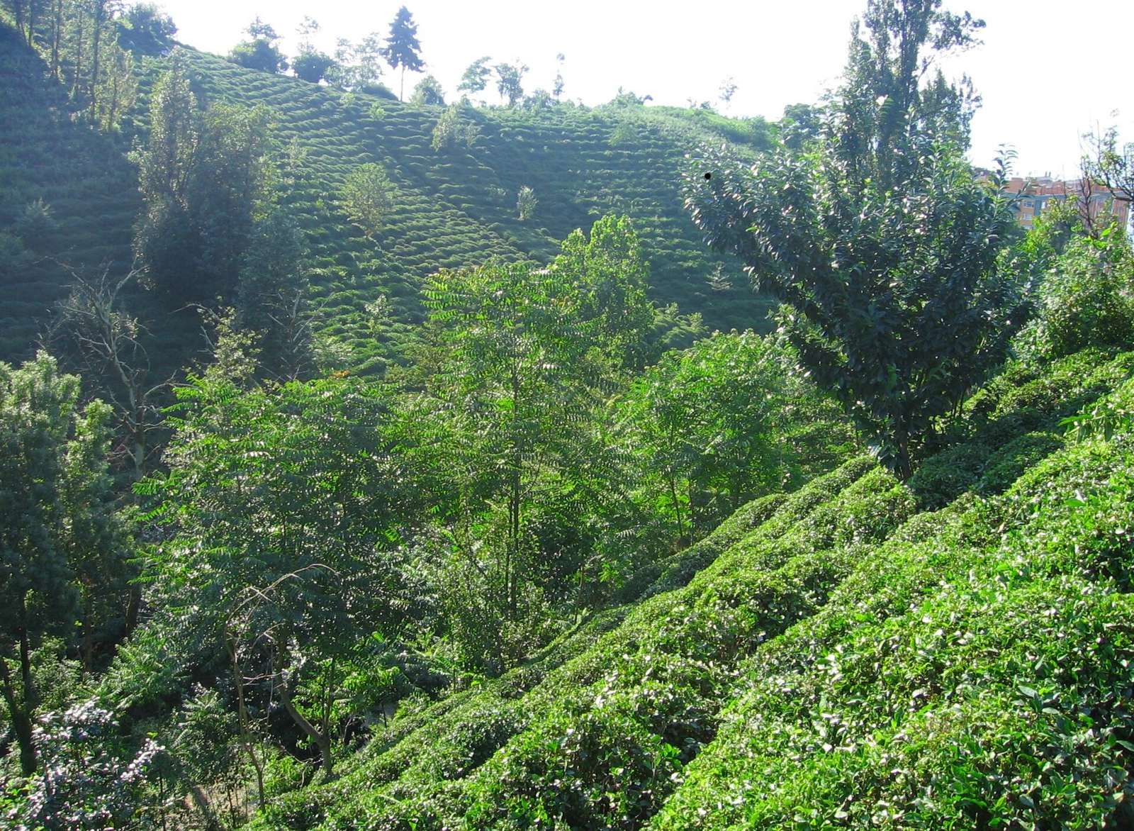
If steep slopes facing the Black Sea are terraced and covered in trimmed, bright green shrubs, that's a tea plantation. It's centred on Rize province on the eastern Black Sea coast, and neighbouring Trabzon and Artvin provinces also produce it.
TipOn the same Black Sea coast, multi-stemmed shrubs with large leaves mean hazelnut, while low, trimmed, bright green shrubs mean tea. The dividing line is roughly around Trabzon province.
SourcesTurkish tea - Wikipedia (growing areas)TEPGE Çay Ürün Raporu 2023 (production by province, 2022)
Plants & farming★★★★★
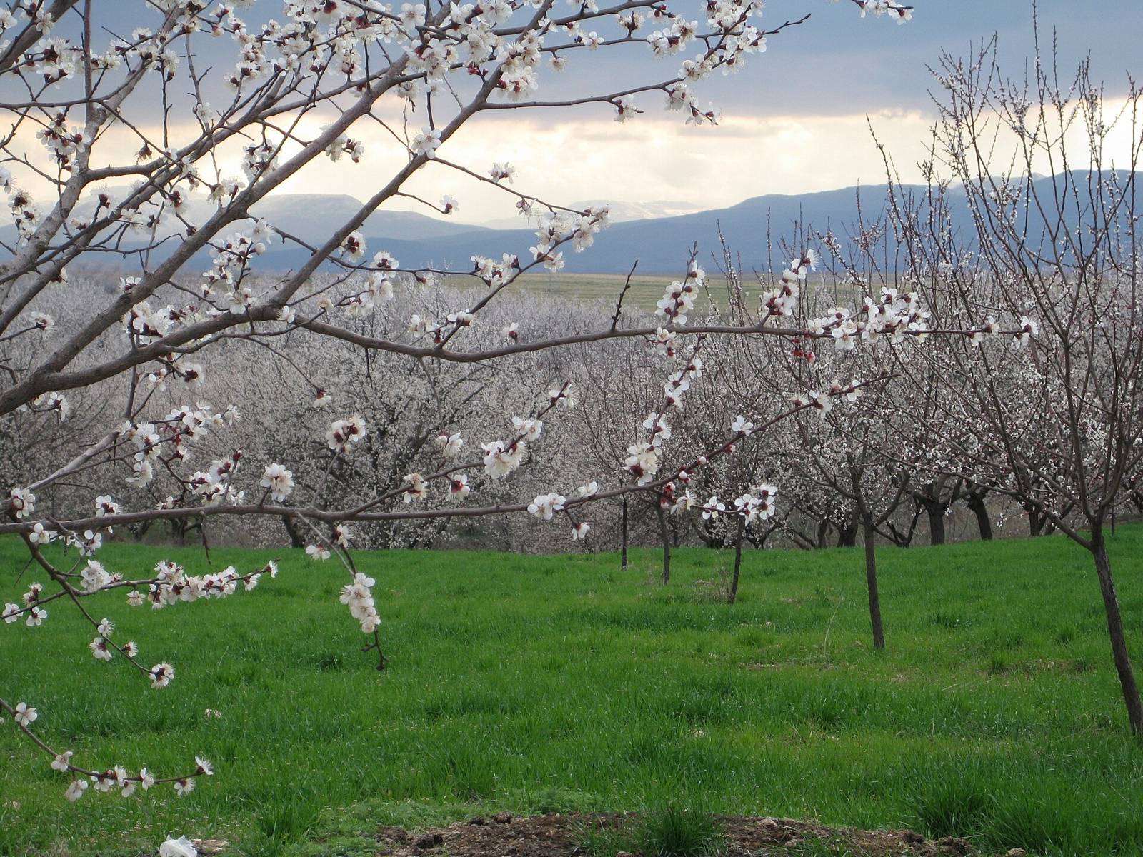
If low-spreading deciduous fruit orchards fill an entire valley, and in summer orange fruit is spread out on the ground to dry in the sun, that's apricots in Malatya province. About 80% of the world's dried apricots come from here.
Examples1SourcesMalatya - Wikipedia (world share)
Plants & farming★★★★
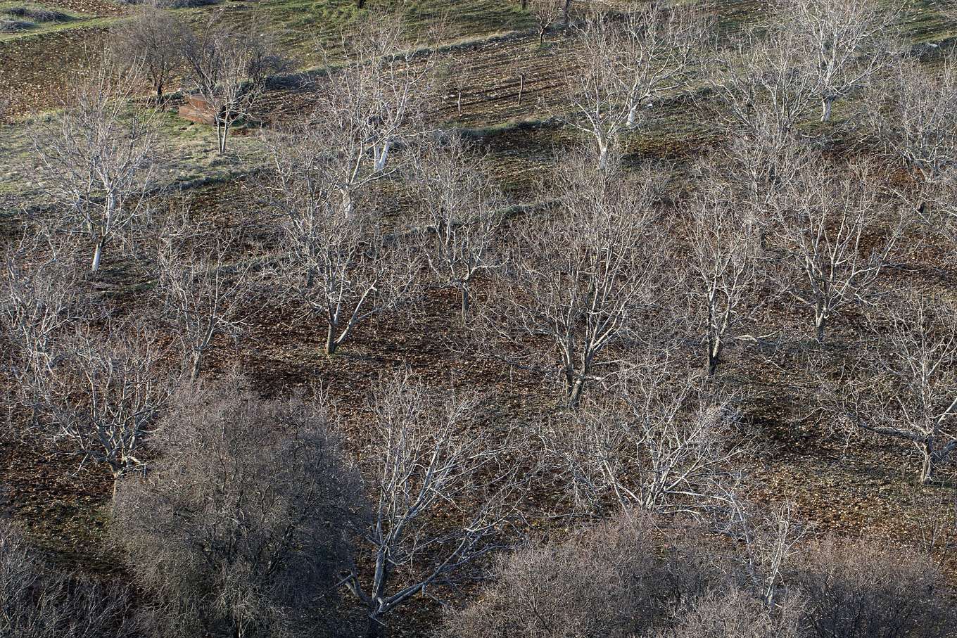
If squat shrubs are spaced out across a dry, rocky slope, that's a pistachio orchard. Gaziantep province is the centre of production, and Şanlıurfa province and others are also growing areas. In Turkish, pistachio is called "the nut of Antep."
SourcesGaziantep - Wikipedia (growing area and concentration of processing)Economic analysis and marketing margin of pistachios in Turkey (production and area by province, 2017)
Plants & farming★★★
Plastic greenhouses are common along the southern coast. On the outskirts of Antalya, there are roads lined with greenhouses on both sides. Antalya province has the most, followed by Mersin and Adana.
- Mersin
- Antalya
Examples12345678910SourcesHortiDaily - Antalya is responsible for 46% of Turkey's greenhouse areas (2025)HortiDaily - Greenhouse production in Turkey overview (2018, Antalya 40%, Mersin 25%, Adana 15%)
Open in Street View1

Plants & farming★★★
Corn is common along the Mediterranean side (Adana, etc.) and in the southern part of Southeast Anatolia. The northern Black Sea side has little.
Examples12SourcesUSDA Foreign Agricultural Service - Turkey Corn Production 2016 (original data: Turkish Ministry of Food, Agriculture and Livestock)

Plants & farming★★★
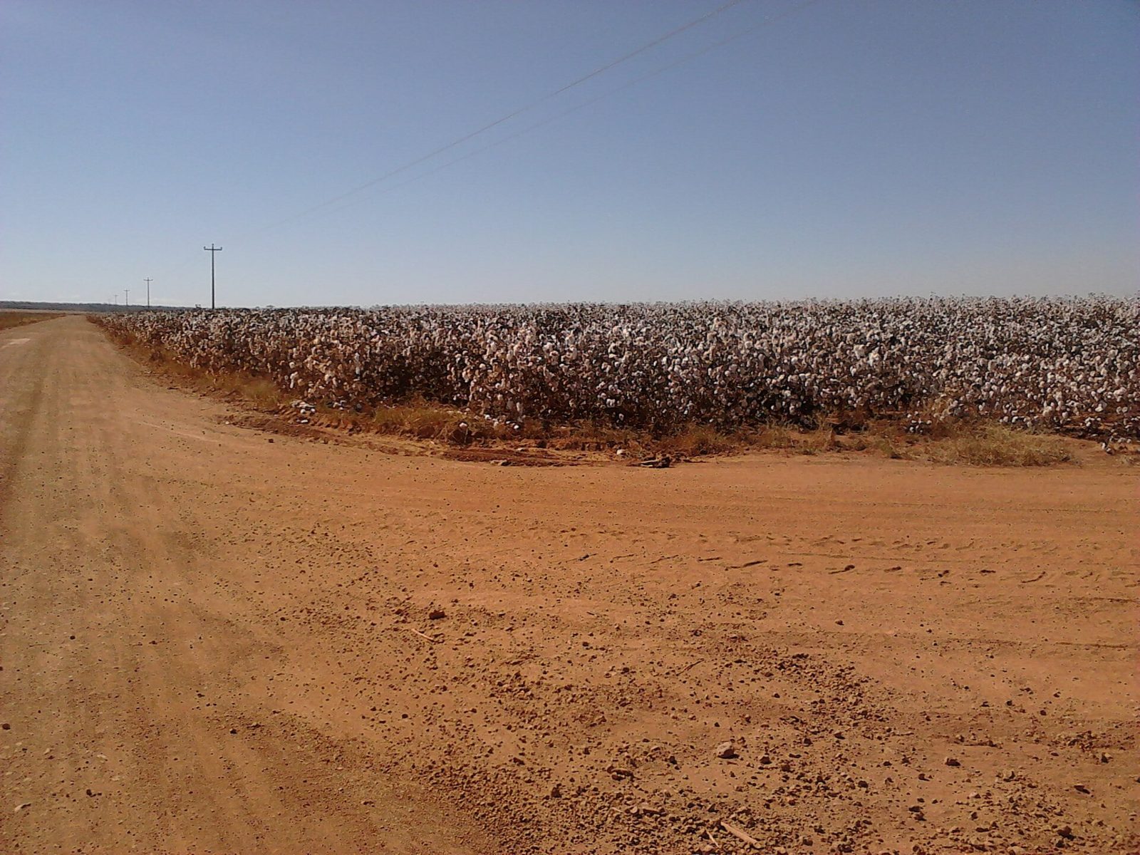
Cotton growing is centered on Southeast Anatolia (Şanlıurfa, etc.) in the south, and is also common on the western Aegean side (around Aydın).
Examples12SourcesUSDA Foreign Agricultural Service - Turkey Cotton Production 2015 (original data: Turkish Ministry of Food, Agriculture and Livestock)
Plants & farming★★★
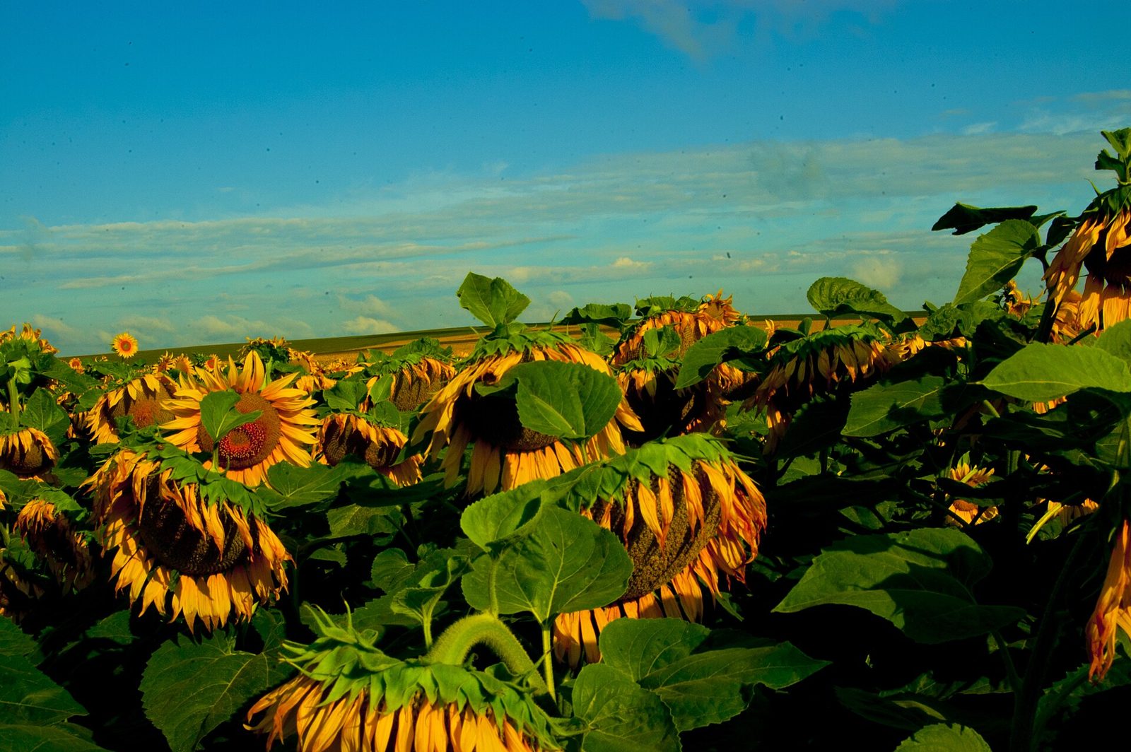
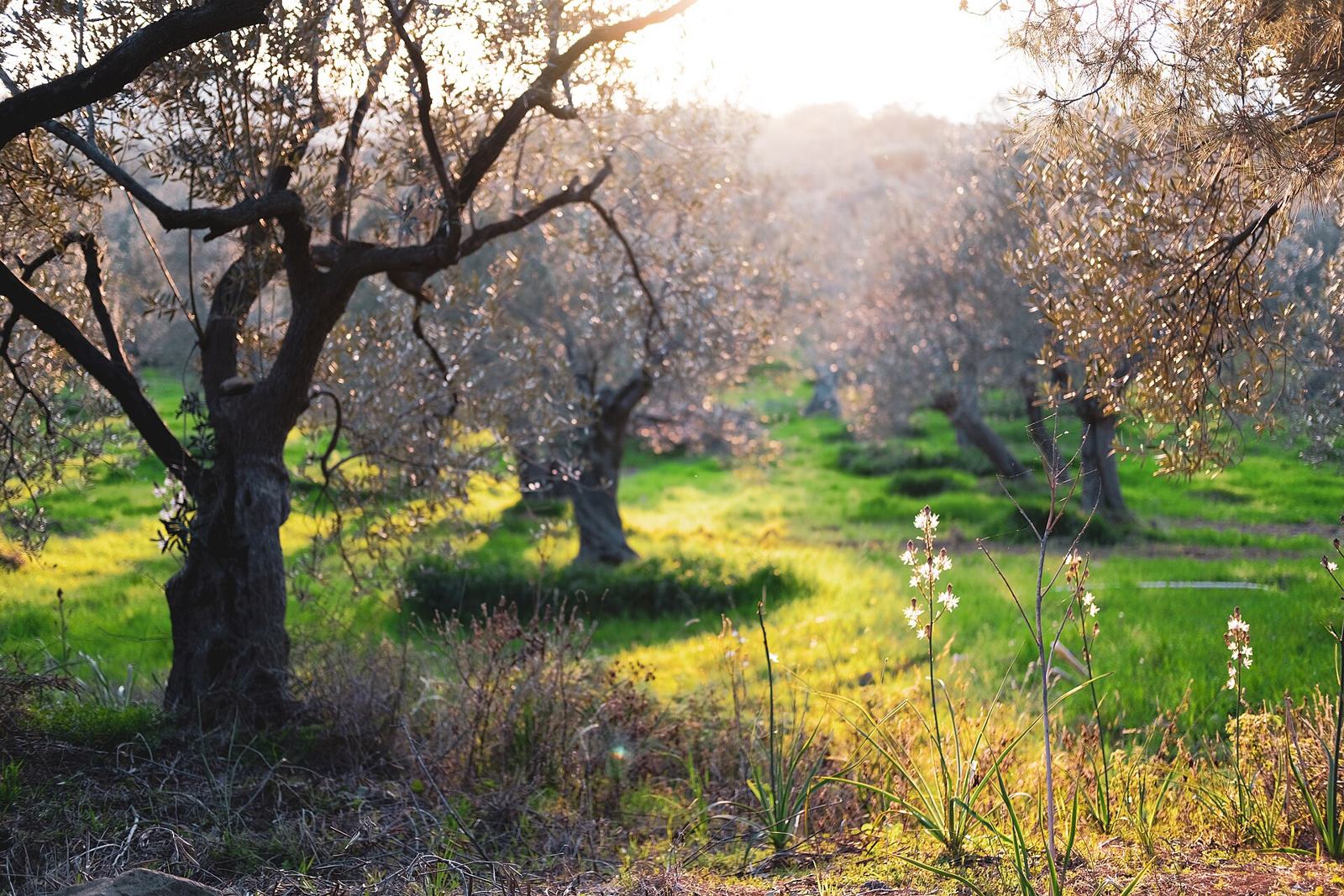
If gray-green olive trees line a slope, that's the Aegean side (Manisa, Aydın, etc.).
Examples12SourcesAn Overview of Olive Cultivation in Turkey (tree counts and production by province)
Terrain
Where Terrain clues apply3
Click an item to jump to its clueTap to show the range; tap again or → to jump to the clue
Landscape★★★★★
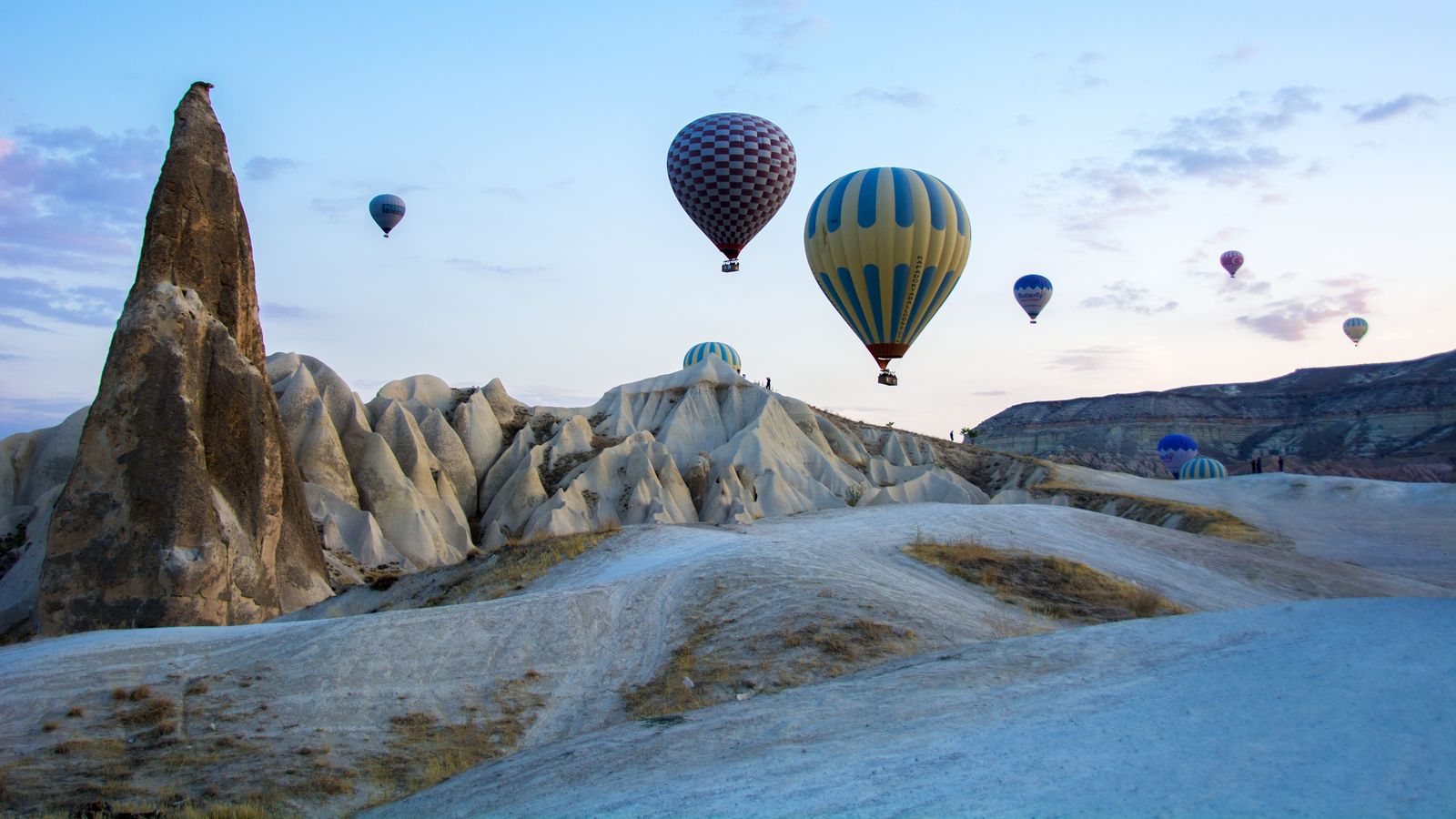
If cone-shaped rock formations (fairy chimneys) stand in rows, with square holes carved into the soft rock face, that's Cappadocia. It's centred on Nevşehir province.
Examples12SourcesCappadocia - Wikipedia (extent and terrain)
Landscape★★★★★
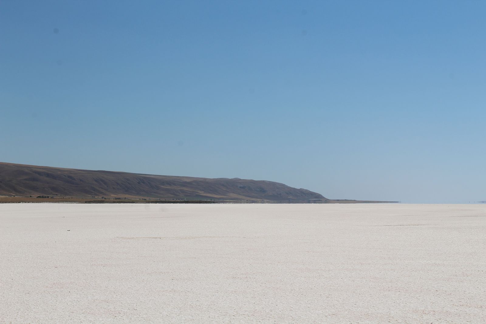
If a pure white plain stretches to the horizon, with any water on it very shallow, that's Lake Tuz, a salt lake in Central Anatolia. When it dries out in summer, a layer of salt appears.
Examples12SourcesLake Tuz - Wikipedia (location, area, salt)
Landscape★★★
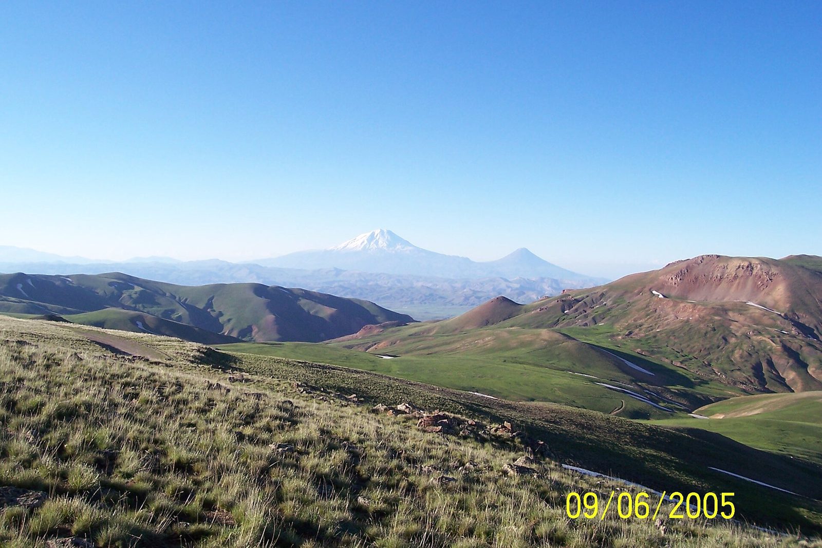
If nearly treeless highland grassland continues on with distant snow-capped mountains and sparse settlements, that's Eastern Anatolia. It has a harsh continental climate with an average elevation of 2,200m, and a low population density.
Narrowing down the city3
Once you know the region: which city or town

Konya Province
Difficult place★★★
Street name signs differ by city. Konya's signs need to be checked by the difference in the circular emblem at the top.

Ankara Province
Signs★★★
Street name signs differ by city. Ankara's street name signs come in two types, blue and red.
Examples1SourcesStreet signs in Ankara
Photo coming soonSigns
No clues for this category and place yet.
Regions
Hover a region on the map to see its nameHover a region on the map to see its name
Basics
General facts about this placeNearby areas
A page of play notes and identification clues for GeoGuessr.