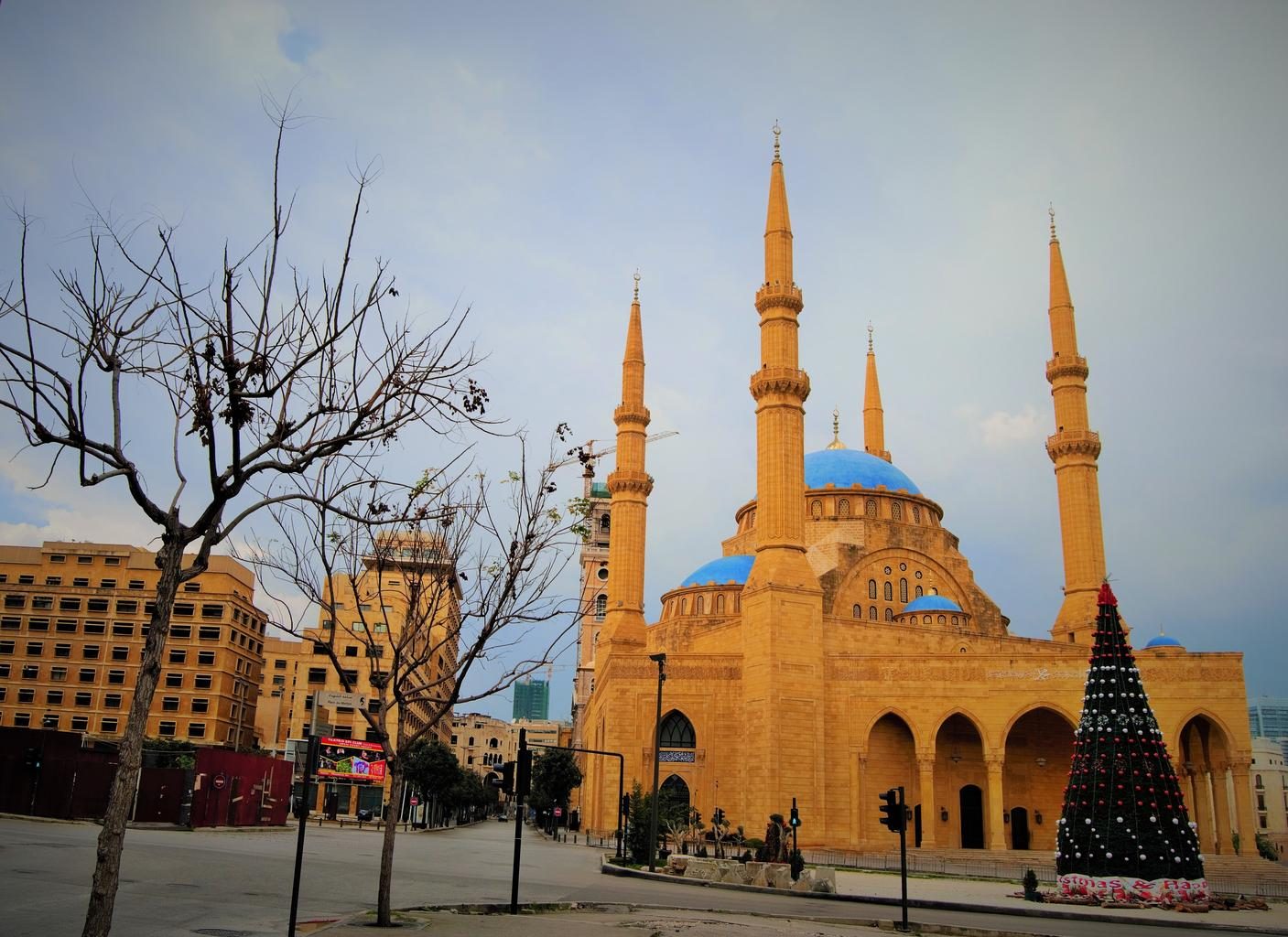
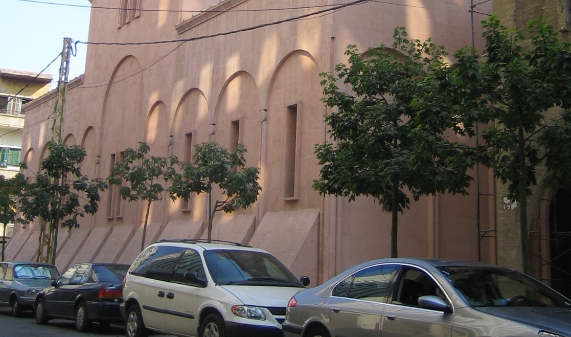
 Lebanon
LanguageArabic
Driving sideDrives on the right
Domain.lb
Whole area6
Clues that work anywhere in this area
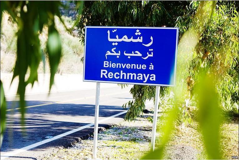
Google Car★★★
Image quality can be poor, and the movement or camera angle sometimes looks off.
Examples1
Photo coming soonGoogle Car
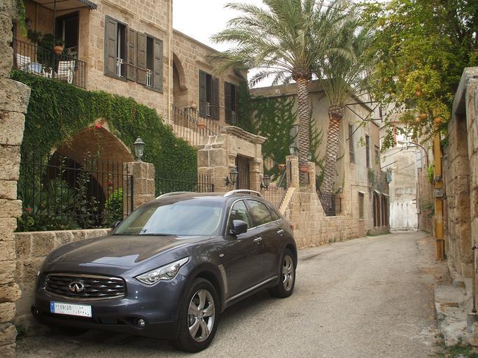
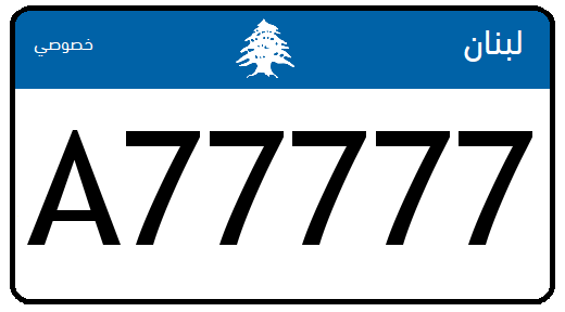
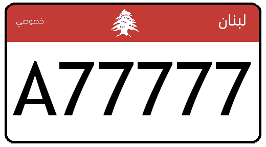

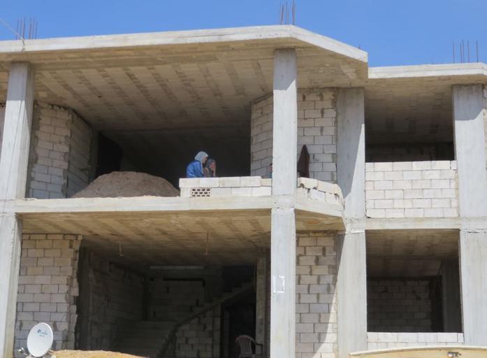
Narrowing down the region1
Once you know the area: which part of it
Agriculture
Plants & farming★★★
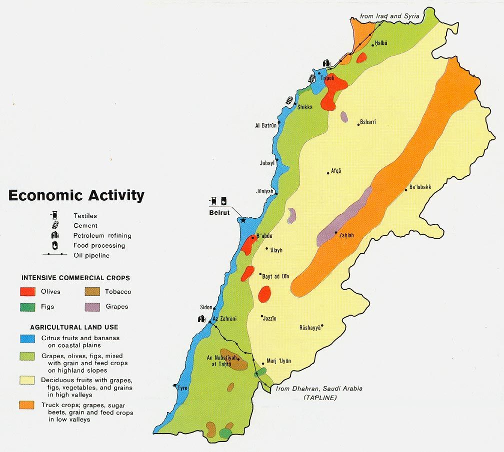
There may be some regional pattern to farming. Flat land is scarce with all the mountains, and conditions tend to be fairly dry.
- ■ (#F7F0A1) Mountainous with little flat land, and often fairly dry
- ■ (#B38C9A) Grapes: around Zahlé
- ■ (#F7380B) Olives: hillsides on the outskirts of Tripoli
- ■ (#F59115) Flat areas are farmed
Narrowing down the city1
Once you know the region: which city or town
Zahlé
Landscape★★★
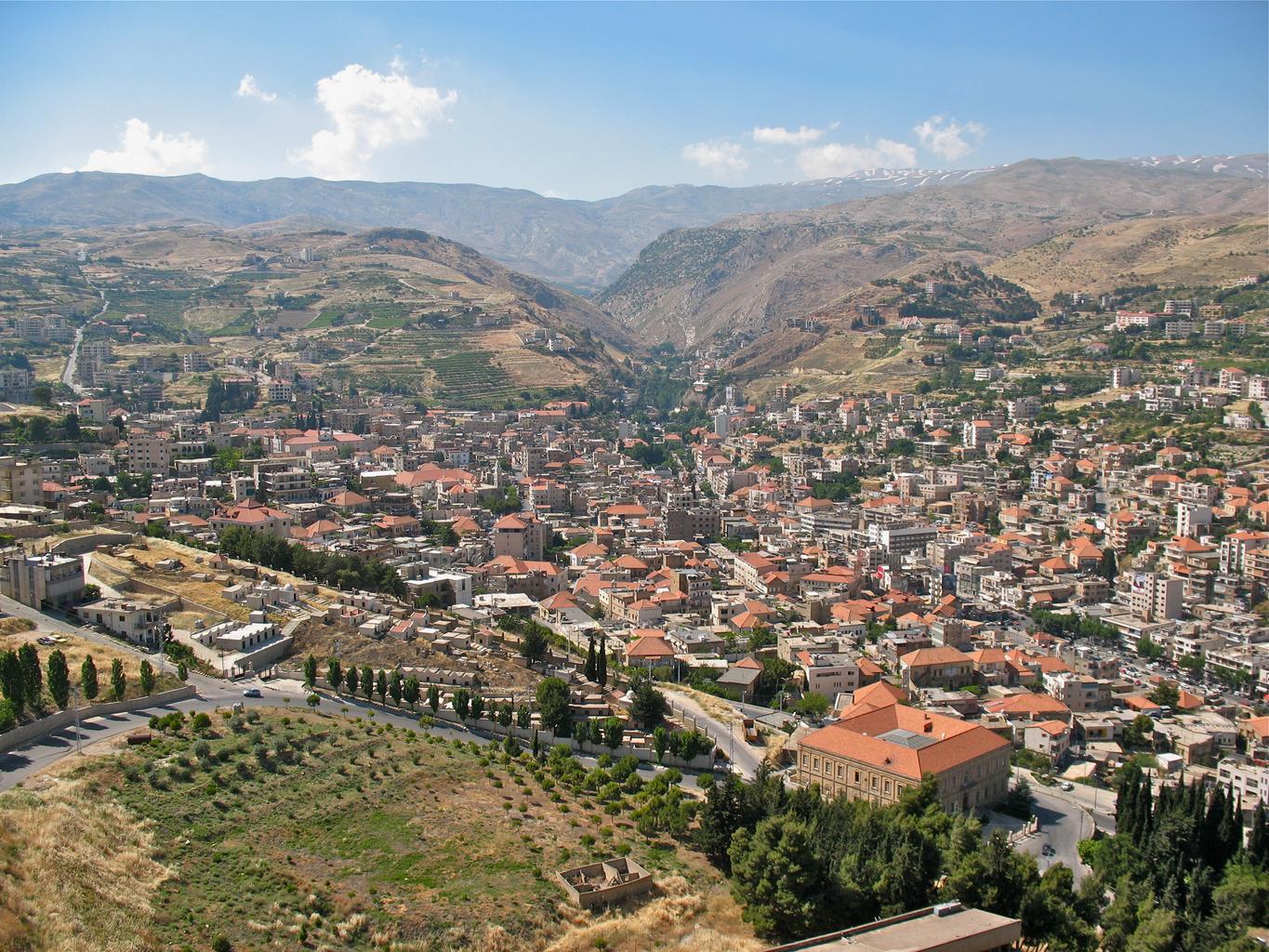
Zahlé lies in the Beqaa Valley, between the Lebanon and Anti-Lebanon mountain ranges, and the flat land around it is heavily farmed. You should see mountain ranges to the east and west, but the camera orientation is sometimes odd, so the exact direction can be hard to judge.
No clues for this category and place yet.
Basics
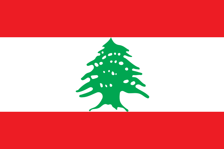
General facts about this place- The Cedar of Lebanon at the center of the flag is the country's emblem[ref]
Nearby areas
A page of play notes and identification clues for GeoGuessr.