
How to Distinguish
- The domain is .om
- Traffic keeps to the right-hand side
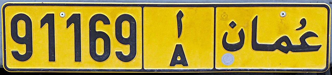
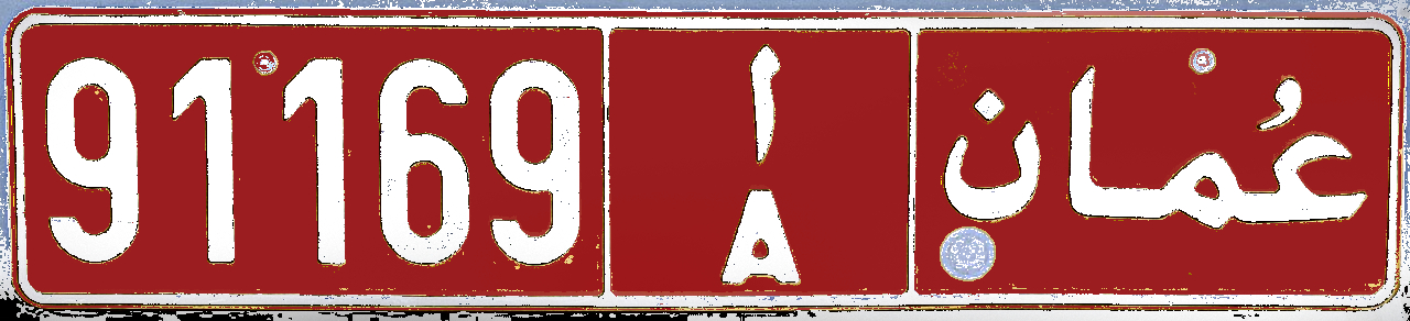
- License plates are yellow or sometimes red
- Signposts are often painted with white-and-black stripes

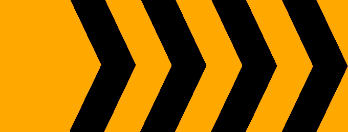
Chevron signs usually have orange-and-black stripes. Directional signs and distance boards are blue. Poles with white-and-black striping are common in both Oman and the UAE.

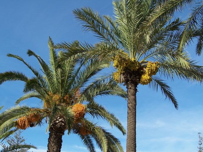
Date palms are concentrated along the north-eastern coast, and plantations are common. The Million Date Palm Plantation Project expanded cultivation nationwide(References Million Date Palm Plantation Project).

There are several domestic energy companies. For example, Oman Oil Marketing (OOMCO) enjoys strong brand recognition.

Agricultural activity differs between regions. Coastal plains in the north grow vegetables, while fodder crops are cultivated inland.

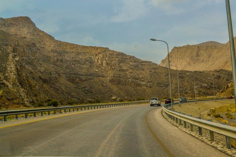
The Musandam Peninsula—an exclave of Oman—also has Street View coverage. Some pockets have a Mediterranean climate with pomegranate orchards, but unlike Dhofar the mountains are rarely lush.
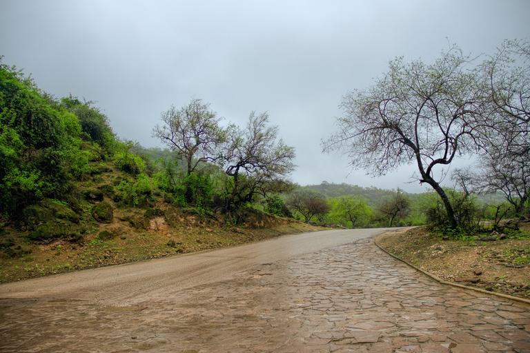
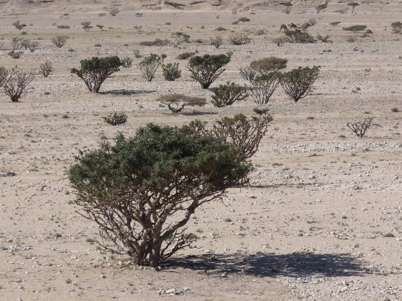
Other areas are dry. Unlike the north, there are fewer sheer cliffs and more scattered rocks. Livestock is common—expect to see cows, camels, goats, and pens used for herding(References Agriculture in Dhofar).
Large dune fields lie inland and toward the east(References Glennie, Kenneth W., et al. “Geological importance of luminescence dates in Oman and the Emirates: An overview.” Geochronometria 38 (2011): 259-271.). Selected imagery below was adapted from that reference.

Narrow down city/town
- Masirah Island is an offshore location(References Dhofar Governorate)

By ELSIRIDERMOTO - Own work, CC BY-SA 4.0, Link