


How to Distinguish
- Country-code top-level domain is .hu
- Hungarian uses the Latin alphabet—never Cyrillic (参考文献 Hungarian language (Japanese))
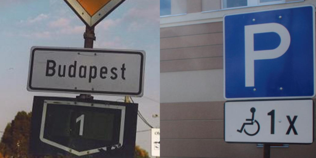
- Many signposts are fastened with two visible bolts (by neckoluv )
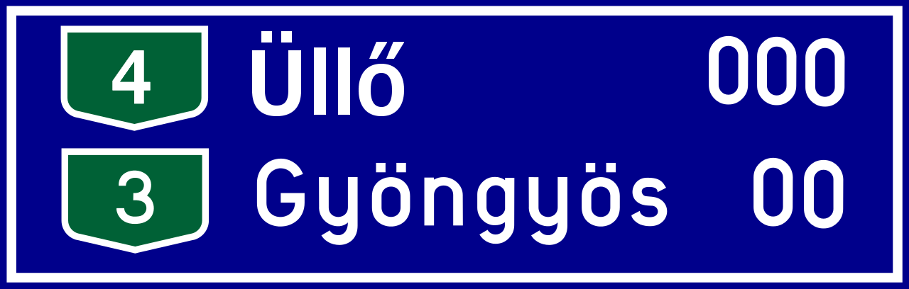
- Letters with a double acute, such as ű or ő, are uniquely Hungarian (apart from Chuvash ӳ) (by Geotips )
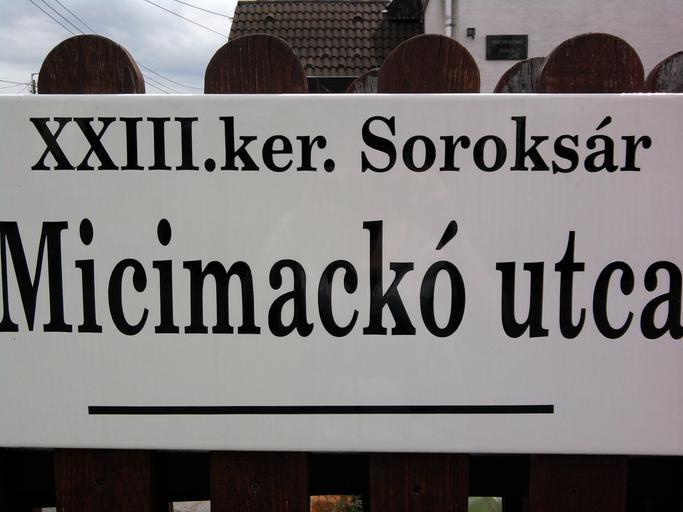
- Utca means “street” in Hungarian
- Pedestrian signs depict a figure wearing a belt
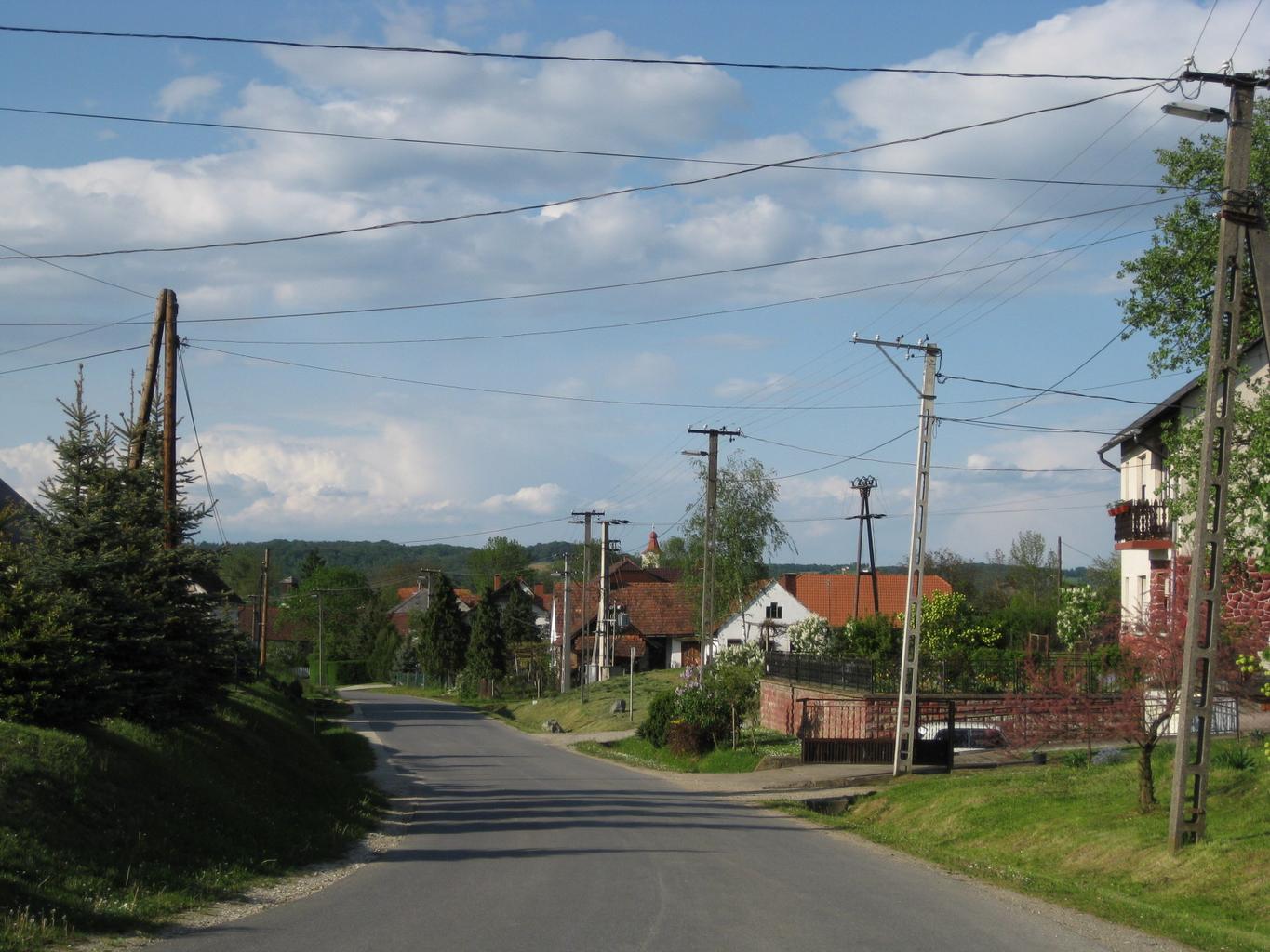
- The country is largely flat with very few mountains
Signs you can find


Signposts often show two exposed bolts on the front (by neckoluv ). Other countries have visible bolts too, so confirm with surrounding context.

If you see ű or ő—letters with a double acute—you are in Hungary. Hungary’s route shields also have a distinctive green shape.

By Anomália - Own work, CC BY-SA 4.0, Link
Utca translates to “street.” Acute accents (´) appear frequently and are absent from neighbouring Romanian, Slovenian, Serbian, or Croatian orthography. (参考文献 Acute accent (Japanese))
Pedestrian signs show a figure wearing a belt. Left to right: Croatia, Hungary, Latvia. (参考文献 Comparison of European road signs) Think of the legs forming a “ハ” to remember Hungary.


Suburban areas feature light-coloured concrete walls, reddish roof tiles, and single-storey homes. Some older dwellings are “Hungarian Cubes,” painted in vivid geometric patterns. (参考文献 Hungarian Cubes photographed by Katharina Roters)
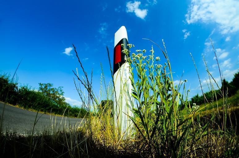
Roadside bollards resemble those in Hungary or Croatia.
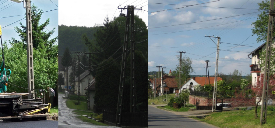
Hungary’s distribution poles often have a distinctive profile.
Narrow down city/town
- The southeast is flat farmland, whereas the north hosts the country’s highest peaks (just under 1,000 m)

By Ikonact – Topography: NASA SRTM3 v2; Urban areas: Natural Earth; Data visualised with GNU Octave. CC BY-SA 4.0, Link