My GeoGuessr Memo
  • Toppage

Icon

Unique Google Car

Many Trekker

no official coverage

streaming status

  • How to identify countries and regions
    • Asia
      • Nepal
      • Vietnam
      • Andaman Islands
      • Kazakhstan
      • Afghanistan
      • Bangladesh
      • Bhutan
      • Cambodia
      • Chagos Archipelago
      • China
      • Hong Kong
      • India
      • Indonesia
      • Japan
        • Tohoku & Hokkaido
        • Chubu
        • Kantō
          • Chiba
          • Kanagawa
        • Kinki
        • Chūgoku Region
        • Shikoku
        • Kyūshū
      • Korea
      • Kyrgyzstan
      • Lakshadweep
      • Laos
      • Macau
      • Malaysia
      • Mongolia
      • Myanmar
      • Pakistan
      • Philipines
      • Russia
      • Singapore
      • Sri Lanka
      • Taiwan
      • Thai
      • Maldives
      • Azerbaijan
      • Georgia
      • Turkmenistan
      • Uzbekistan
    • Antarctica
    • Oceania
    • Middle East
    • Europe
    • Africa
    • North America
    • Latin America
  1. Home
  2. How to identify countries and regions
  3. Asia
  4. Japan
  5. Kantō

Kantō

national flag of Kantō
  • Image from geopinning.space showing Osaka

    Chiba

Kantō

  • The vast Kantō Plain creates broadly flat scenery throughout the region.

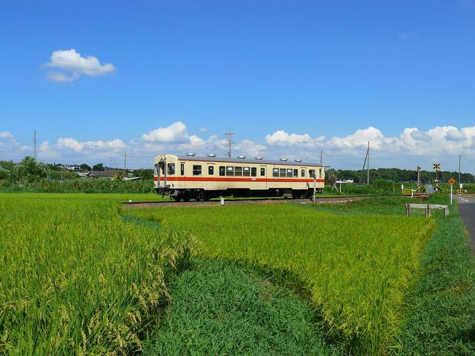
    The Kantō Plain stretches across the region, so wide flat landscapes are common.

    Kanto GeoGuessr guide image showing Kanto Railway Ryugasaki Line 0

    Related Pages

    • Kantō (wikipedia)
    • .jp (wikipedia)
    • Kantōの地域ごとの農業生産データ(U.S. Department of Agriculture)

    Updated on 01 Jul 2023

    Yamanashi Chiba
    geoguessr(ジオゲッサー)のプレイログを記録したページです。

    © 2021-2025 nanja. Privacy Policy

    Type something to search...
    to navigate to select ESC to close