1. Home
  2. How to identify countries and regions
  3. Africa
  4. Mauritania

Mauritania

national flag of Mauritania

How to Distinguish

  • No official Street View.
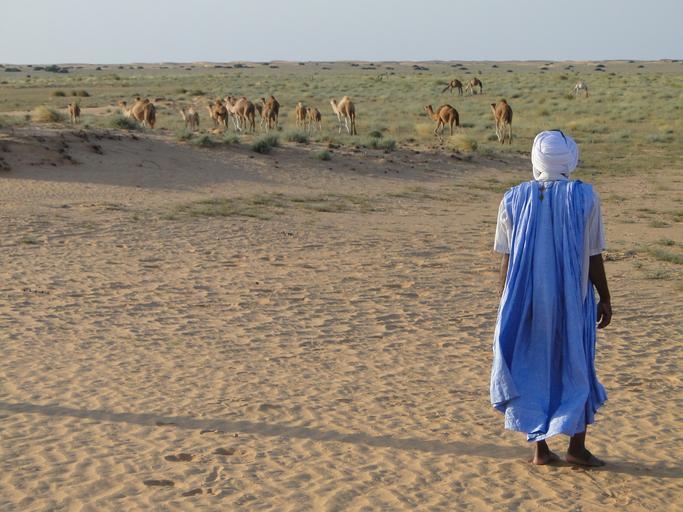
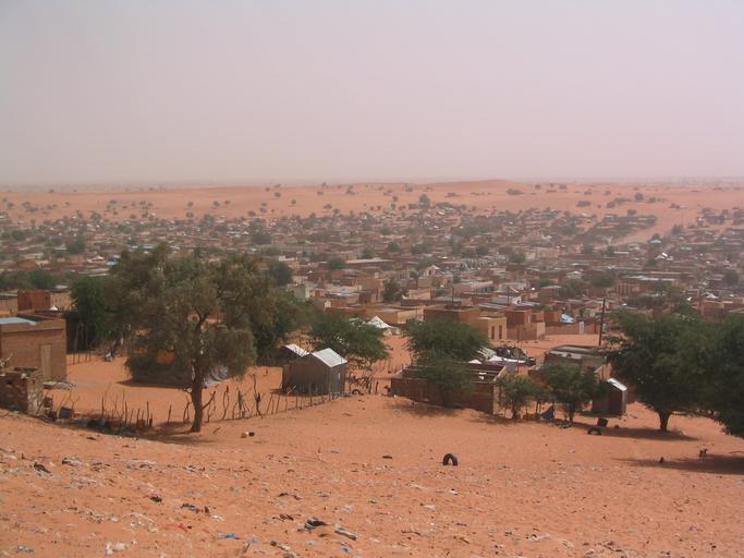
  • Most of the country is desert; agriculture is largely limited to the Senegal River corridor.

Less than about 0.5% of the land is arable; you are more likely to see pastoralism (e.g., camels) than farming (参考文献 AFP: Camel market).

Mauritania GeoGuessr guide image showing Desert Camels Arab Mauritania

Many houses are built from brick, rock, and straw .

Mauritania GeoGuessr guide image showing Boutilimitsable

Overall the terrain is flat, with exposed rocky arid plains .

Mauritania GeoGuessr guide image showing Coastal Transsaharan Highway In
geoguessr(ジオゲッサー)のプレイログを記録したページです。