How to Distinguish
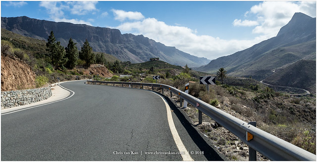
- A remote island territory of Spain, with road signposts, guardrails, and chevrons shared in style with the mainland.
- Road numbers use prefixes derived from island names (e.g., LP, TF, FV, GC, LZ, HI).
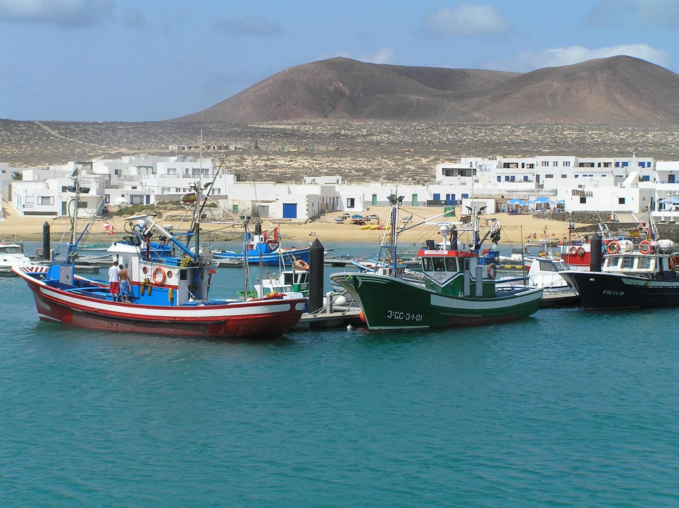
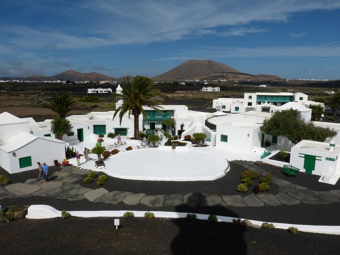
- Features rugged rocky mountains as well as rounded hills.
- Being volcanic in origin, the soil is often black.

By Frank Vincentz - Own work, CC BY-SA 3.0, Link
Similar to mainland Spain, yellow reflector bollards and guardrails are commonly used.
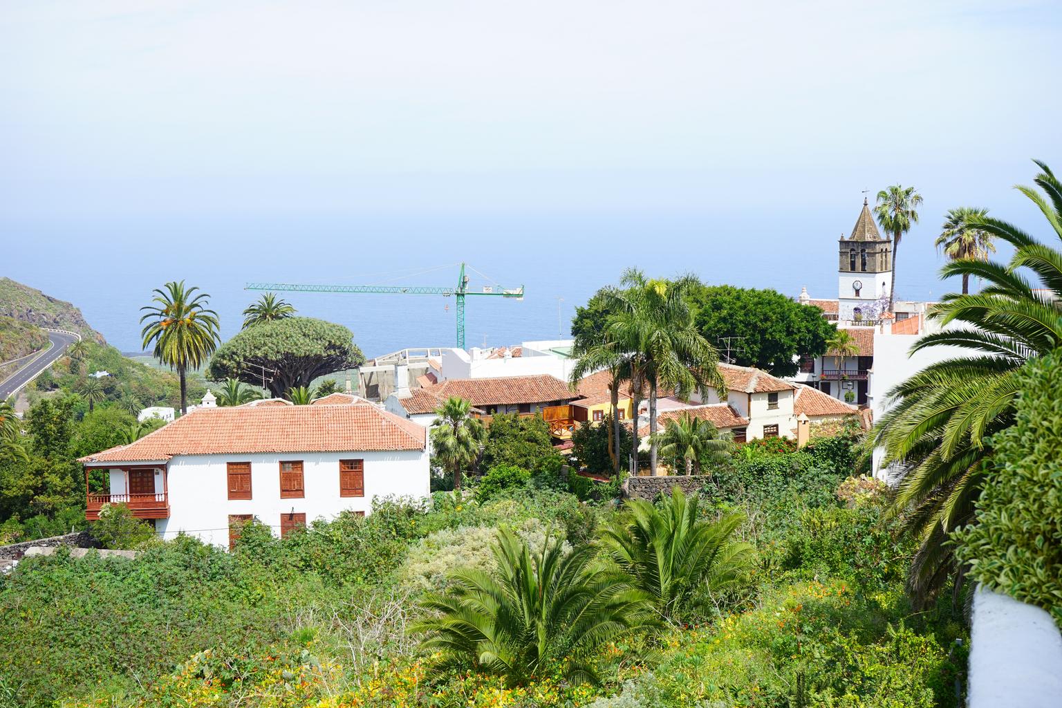
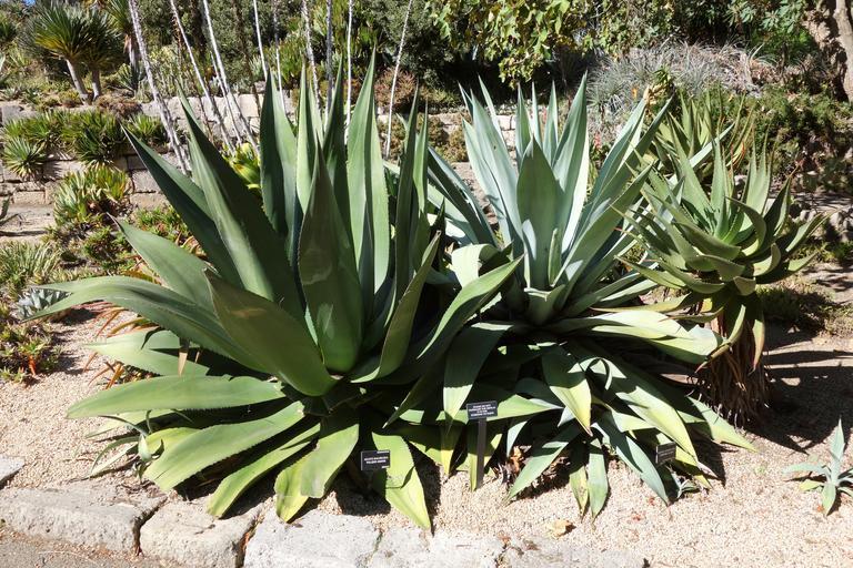
A mix of plants such as cacti, palm trees, and dragon trees (References Dragon Tree) is visible. Vegetation varies significantly by location .
The mountains are often rounded , and the islands, being volcanic, often have black soil (References Canary Islands).
In the Canary Islands and southern-central Mexico, agave plants grow naturally .
Narrow down city/town
- The village of Caleta de Sebo consists of rows of white one-story houses (References Caleta de Sebo).